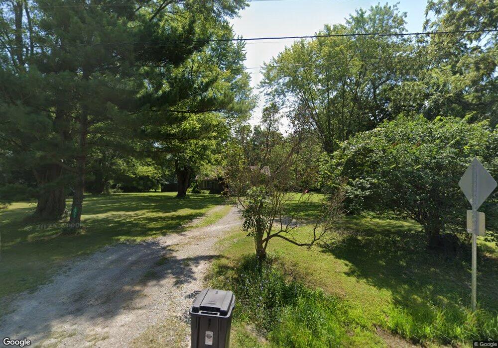
10253 State Route 730 Blanchester, OH 45107
Estimated Value: $222,960 - $270,000
4
Beds
2
Baths
1,280
Sq Ft
$193/Sq Ft
Est. Value
About This Home
This home is located at 10253 State Route 730, Blanchester, OH 45107 and is currently estimated at $246,990, approximately $192 per square foot. 10253 State Route 730 is a home located in Clinton County with nearby schools including Clinton-Massie Elementary School, Clinton-Massie Middle School, and Clinton-Massie High School.
Ownership History
Date
Name
Owned For
Owner Type
Purchase Details
Closed on
Dec 23, 2021
Sold by
Price Christina M
Bought by
Kempton Andrew
Current Estimated Value
Home Financials for this Owner
Home Financials are based on the most recent Mortgage that was taken out on this home.
Original Mortgage
$191,919
Outstanding Balance
$174,690
Interest Rate
3.11%
Mortgage Type
New Conventional
Estimated Equity
$72,300
Purchase Details
Closed on
Feb 26, 2016
Sold by
Edenfield April M and Phipps April M
Bought by
Price Christina M
Purchase Details
Closed on
Jan 1, 1990
Bought by
Franklin Dale and Franklin Tina E
Create a Home Valuation Report for This Property
The Home Valuation Report is an in-depth analysis detailing your home's value as well as a comparison with similar homes in the area
Purchase History
| Date | Buyer | Sale Price | Title Company |
|---|---|---|---|
| Kempton Andrew | $166 | New Title Company Name | |
| Kempton Andrew | $166 | New Title Company Name | |
| Price Christina M | $116,000 | Attorney | |
| Franklin Dale | -- | -- |
Source: Public Records
Mortgage History
| Date | Status | Borrower | Loan Amount |
|---|---|---|---|
| Open | Kempton Andrew | $191,919 | |
| Closed | Kempton Andrew | $191,919 |
Source: Public Records
Tax History
| Year | Tax Paid | Tax Assessment Tax Assessment Total Assessment is a certain percentage of the fair market value that is determined by local assessors to be the total taxable value of land and additions on the property. | Land | Improvement |
|---|---|---|---|---|
| 2025 | $1,728 | $51,530 | $7,880 | $43,650 |
| 2024 | $1,728 | $51,530 | $7,880 | $43,650 |
| 2023 | $1,779 | $51,530 | $7,880 | $43,650 |
| 2022 | $1,441 | $38,520 | $5,460 | $33,060 |
| 2021 | $1,410 | $38,520 | $5,460 | $33,060 |
| 2020 | $1,385 | $38,520 | $5,460 | $33,060 |
| 2019 | $1,096 | $31,080 | $6,340 | $24,740 |
| 2018 | $1,108 | $31,080 | $6,340 | $24,740 |
| 2017 | $539 | $31,080 | $6,340 | $24,740 |
| 2016 | $935 | $26,880 | $6,160 | $20,720 |
| 2015 | $936 | $26,920 | $6,160 | $20,760 |
| 2013 | $959 | $26,500 | $6,160 | $20,340 |
Source: Public Records
Map
Nearby Homes
- 11246 State Route 730
- 11246 Ohio 730
- 9132 St Rt 730
- 9132 State Route 730
- 2211 Reeder Rd
- 1211 Pratt Rd
- 963 Pratt Rd
- 597 Haynes Rd
- 955 Windsor Ave
- 420 Kensington Dr
- 970 Macedonia Rd
- 1 Dudley Rd
- 941 Lazenby Rd
- 4269 Pansy Rd
- 181 Water St
- 185 Water St
- 852 State Route 132
- 510 Cherry St
- 506 Cherry St
- 508 Cherry St
- 10253 Ohio 730
- 10267 State Route 730
- 10231 State Route 730
- 10228 State Route 730
- 10228 State Route 730
- 10183 State Route 730
- 10333 State Route 730
- 76 Holiday Ln
- 69 Holiday Ln
- 10354 Ohio 730
- 10343 State Route 730
- 10343 State Route 730
- 97 Holiday Ln
- 10354 State Route 730
- 10354 State Route 730
- 127 Holiday Ln
- 138 Holiday Ln
- 10343 Ohio 730
- 10387 State Route 730
- 10387 State Route 730
Your Personal Tour Guide
Ask me questions while you tour the home.