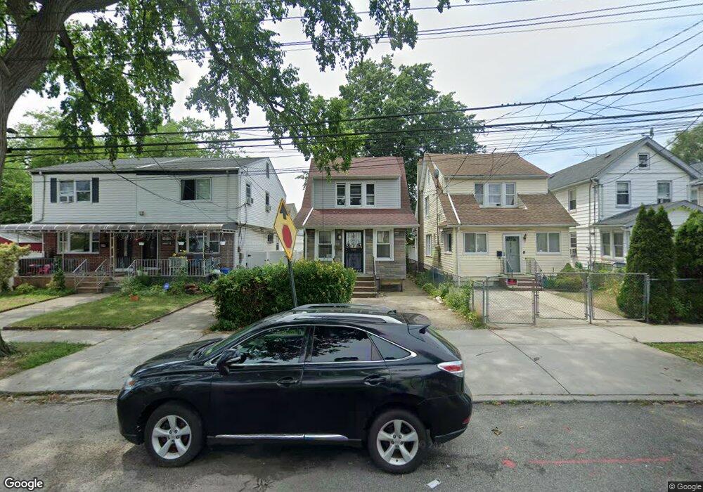
10254 189th St Hollis, NY 11423
Hollis NeighborhoodEstimated Value: $432,000 - $615,000
--
Bed
--
Bath
1,104
Sq Ft
$494/Sq Ft
Est. Value
About This Home
This home is located at 10254 189th St, Hollis, NY 11423 and is currently estimated at $545,151, approximately $493 per square foot. 10254 189th St is a home located in Queens County with nearby schools including P.S. 118 Lorraine Hansberry, I.S. 192 The Linden, and Wellspring Elementary & Middle.
Ownership History
Date
Name
Owned For
Owner Type
Purchase Details
Closed on
Jun 6, 2022
Sold by
Everett Bowman Trustee and Preston Bowman Jr Irrevocable Living Tr
Bought by
Hossain Mohammad Jafir
Current Estimated Value
Purchase Details
Closed on
Jan 30, 2015
Sold by
Bowman Preston
Bought by
Everett Bowman Trustee and Preston Bowman Jr Irrevocable Living T
Purchase Details
Closed on
Nov 27, 2004
Sold by
Bowman Preston
Bought by
Bowman Preston
Create a Home Valuation Report for This Property
The Home Valuation Report is an in-depth analysis detailing your home's value as well as a comparison with similar homes in the area
Home Values in the Area
Average Home Value in this Area
Purchase History
| Date | Buyer | Sale Price | Title Company |
|---|---|---|---|
| Hossain Mohammad Jafir | $550,000 | -- | |
| Hossain Mohammad Jafir | $550,000 | -- | |
| Everett Bowman Trustee | -- | -- | |
| Everett Bowman Trustee | -- | -- | |
| Bowman Preston | -- | -- | |
| Bowman Preston | -- | -- |
Source: Public Records
Tax History Compared to Growth
Tax History
| Year | Tax Paid | Tax Assessment Tax Assessment Total Assessment is a certain percentage of the fair market value that is determined by local assessors to be the total taxable value of land and additions on the property. | Land | Improvement |
|---|---|---|---|---|
| 2025 | $5,390 | $27,708 | $9,668 | $18,040 |
| 2024 | $5,390 | $26,837 | $9,974 | $16,863 |
| 2023 | $5,142 | $25,319 | $7,948 | $17,371 |
| 2022 | $4,109 | $34,620 | $11,640 | $22,980 |
| 2021 | $4,347 | $31,800 | $11,640 | $20,160 |
| 2020 | $4,228 | $27,360 | $11,640 | $15,720 |
| 2019 | $4,019 | $27,240 | $11,640 | $15,600 |
| 2018 | $3,642 | $21,099 | $10,362 | $10,737 |
| 2017 | $3,412 | $19,905 | $11,493 | $8,412 |
| 2016 | $3,342 | $19,905 | $11,493 | $8,412 |
| 2014 | $1,826 | $18,637 | $12,739 | $5,898 |
Source: Public Records
Map
Nearby Homes
- 10220 189th St
- 102-35 187th St
- 10211 187th St
- 104-11 188th St
- 190-30 103rd Ave
- 185-05 Henderson Ave
- 10533 Farmers Blvd
- 19027 109th Rd
- 184-15 Henderson Ave
- 10532 192nd St
- 188-14 Woodhull Ave
- 104-40 194th St
- 187-23 Brinkerhoff Ave
- 194-10 Hollis Ave
- 102-13 183rd Place
- 183-67 Dunlop Ave
- 188-09 Jamaica Ave
- 193-21 109th Rd
- 19319 109th Rd
- 90-45 186th St
- 102-54 189th St
- 10252 189th St
- 10258 189th St
- 10260 189th St
- 10250 189th St
- 189 189 Tice Rd
- 10246 189th St
- 102-58 189th St
- 10244 189th St
- 10253 188th St
- 10249 188th St
- 10255 188th St
- 10247 188th St
- 10257 188th St
- 10253 188th St
- 10253 188th St
- 18813 104th Ave
- 10245 188th St
- 102-42 189th St
- 10242 189th St