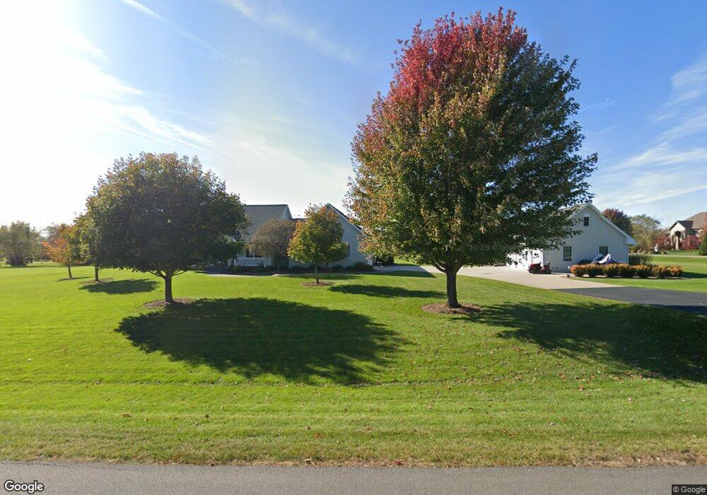
10256 Riveredge Ln Marshfield, WI 54449
Estimated Value: $310,000 - $569,000
4
Beds
--
Bath
3,812
Sq Ft
$115/Sq Ft
Est. Value
About This Home
This home is located at 10256 Riveredge Ln, Marshfield, WI 54449 and is currently estimated at $438,794, approximately $115 per square foot. 10256 Riveredge Ln is a home located in Wood County with nearby schools including Marshfield High School and Trinity Lutheran School.
Ownership History
Date
Name
Owned For
Owner Type
Purchase Details
Closed on
Mar 11, 2022
Sold by
Michael Smith Dwight and Michael Jo Pamela
Bought by
Smith Dwight Michael and Smith Pamela
Current Estimated Value
Purchase Details
Closed on
Oct 26, 2010
Sold by
Tubbs Jason and Wehman Tubbs Kelli
Bought by
Smith Dwight Michael and Smith Pamela J
Home Financials for this Owner
Home Financials are based on the most recent Mortgage that was taken out on this home.
Original Mortgage
$144,000
Interest Rate
4.37%
Mortgage Type
New Conventional
Purchase Details
Closed on
May 25, 2006
Sold by
Koepel Gregory P and Koepel Tamara A
Bought by
Tubbs Jason and Wehman Tubbs Kelli
Home Financials for this Owner
Home Financials are based on the most recent Mortgage that was taken out on this home.
Original Mortgage
$280,900
Interest Rate
6.56%
Mortgage Type
New Conventional
Create a Home Valuation Report for This Property
The Home Valuation Report is an in-depth analysis detailing your home's value as well as a comparison with similar homes in the area
Home Values in the Area
Average Home Value in this Area
Purchase History
| Date | Buyer | Sale Price | Title Company |
|---|---|---|---|
| Smith Dwight Michael | $230,000 | Accurate Title And Closings | |
| Smith Dwight Michael | $294,000 | Vanguard Title Llc | |
| Smith Dwight Michael | $294,000 | -- | |
| Tubbs Jason | $280,900 | Badger Title Llc | |
| Tubbs Jason | $280,900 | -- |
Source: Public Records
Mortgage History
| Date | Status | Borrower | Loan Amount |
|---|---|---|---|
| Previous Owner | Smith Dwight Michael | $144,000 | |
| Previous Owner | Tubbs Jason | $280,900 |
Source: Public Records
Tax History Compared to Growth
Tax History
| Year | Tax Paid | Tax Assessment Tax Assessment Total Assessment is a certain percentage of the fair market value that is determined by local assessors to be the total taxable value of land and additions on the property. | Land | Improvement |
|---|---|---|---|---|
| 2024 | $4,076 | $247,400 | $21,400 | $226,000 |
| 2023 | $3,563 | $247,400 | $21,400 | $226,000 |
| 2022 | $4,089 | $247,400 | $21,400 | $226,000 |
| 2021 | $4,073 | $247,400 | $21,400 | $226,000 |
| 2020 | $3,982 | $247,400 | $21,400 | $226,000 |
| 2019 | $4,013 | $247,400 | $21,400 | $226,000 |
| 2018 | $4,095 | $247,400 | $21,400 | $226,000 |
| 2017 | $4,113 | $247,400 | $21,400 | $226,000 |
| 2016 | $4,110 | $247,400 | $21,400 | $226,000 |
| 2015 | $4,134 | $247,400 | $21,400 | $226,000 |
Source: Public Records
Map
Nearby Homes
- 9713 Riveredge Dr
- Outlots 3 & 4 Callaway Dr
- 9078 Thompson Rd
- 00 Highway 10 NW Unit Parcel 0300119
- 9073 Richfield Dr
- 1607 S Lincoln Ave
- 000 Eagle Rd
- 2625 Peachtree Cir
- 9205 Woehrle Ln
- 1213 E 29th St
- 117 E 17th St
- 2706 S Maywood Ave
- 312 E 17th St
- 1507 S Chestnut Ave
- 000 Mill Creek Rd
- Parcel 3301962 9th St
- Lot 34 Daniels Addition
- Lot 32 Daniels Addition
- 1205 S Maple Ave
- 309 E 14th St
- 10278 Riveredge Ln
- 10225 Riveredge Ln
- 9746 Riveredge Dr
- Lot 9 Riveredge Ln
- 10198 Riveredge Ln Unit 10918
- 10207 Riveredge Ln
- Lot 16 River Edge Ct
- Lot 16 River Edge Ln
- 10245 Riveredge Ct
- 10277 Riveredge Ct
- 10258 Riveredge Ct
- 10171 Riveredge Ln
- 10163 Riveredge Ln
- 10291 Riveredge Ln
- 10193 Riveredge Ln
- 9753 Riveredge Dr
- Lot 20 Riveredge Dr Unit Parcel 1000741
- Lot 20 Riveredge Dr
- 10255 Riveredge Ct
- 10196 Us Highway 10