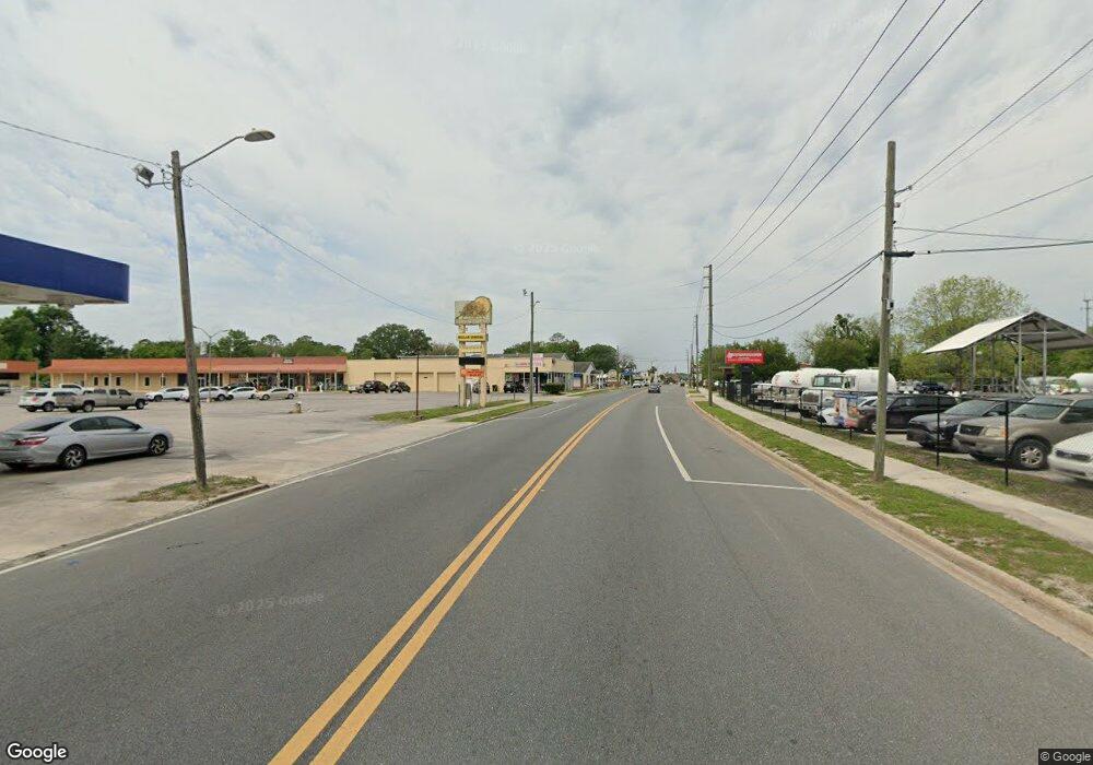
10257 Hwy 129s Live Oak, FL 32060
Estimated Value: $250,083
--
Bed
--
Bath
3,750
Sq Ft
$67/Sq Ft
Est. Value
About This Home
This home is located at 10257 Hwy 129s, Live Oak, FL 32060 and is currently estimated at $250,083, approximately $66 per square foot. 10257 Hwy 129s is a home located in Suwannee County with nearby schools including Suwannee Pineview Elementary School, Suwannee Riverside Elementary School, and Suwannee Springcrest Elementary School.
Ownership History
Date
Name
Owned For
Owner Type
Purchase Details
Closed on
May 18, 2023
Sold by
Humphries Stanley
Bought by
Lopez Rafael
Current Estimated Value
Home Financials for this Owner
Home Financials are based on the most recent Mortgage that was taken out on this home.
Original Mortgage
$230,000
Outstanding Balance
$214,479
Interest Rate
1%
Mortgage Type
New Conventional
Estimated Equity
$35,604
Purchase Details
Closed on
Aug 28, 2017
Sold by
Killebrew Donna and Humphries Donna
Bought by
Humphries Stanley L
Create a Home Valuation Report for This Property
The Home Valuation Report is an in-depth analysis detailing your home's value as well as a comparison with similar homes in the area
Home Values in the Area
Average Home Value in this Area
Purchase History
| Date | Buyer | Sale Price | Title Company |
|---|---|---|---|
| Lopez Rafael | $250,000 | None Listed On Document | |
| Lopez Rafael | $250,000 | None Listed On Document | |
| Humphries Stanley L | -- | Attorney |
Source: Public Records
Mortgage History
| Date | Status | Borrower | Loan Amount |
|---|---|---|---|
| Open | Lopez Rafael | $230,000 | |
| Closed | Lopez Rafael | $230,000 |
Source: Public Records
Tax History Compared to Growth
Tax History
| Year | Tax Paid | Tax Assessment Tax Assessment Total Assessment is a certain percentage of the fair market value that is determined by local assessors to be the total taxable value of land and additions on the property. | Land | Improvement |
|---|---|---|---|---|
| 2024 | $3,286 | $222,044 | $72,400 | $149,644 |
| 2023 | $3,286 | $191,714 | $61,540 | $130,174 |
| 2022 | $3,311 | $191,714 | $61,540 | $130,174 |
| 2021 | $3,392 | $191,714 | $0 | $0 |
| 2020 | $3,401 | $191,714 | $0 | $0 |
| 2019 | $3,441 | $192,464 | $0 | $0 |
| 2018 | $3,445 | $192,464 | $0 | $0 |
| 2017 | $3,494 | $192,464 | $0 | $0 |
| 2016 | $3,505 | $188,714 | $0 | $0 |
| 2015 | $3,541 | $188,714 | $0 | $0 |
| 2014 | $3,494 | $188,714 | $0 | $0 |
Source: Public Records
Map
Nearby Homes
- 11743 102nd Trace
- 10235 117th Dr
- 0 117th Ln
- 9833 U S 129
- 11793 108th Trail
- TBD S U S Highway 129
- 0 Miller Street South E
- 0 May St SE Unit 1231967
- TBD Miller St
- TBD Ohio Ave S
- 200 Gay St SE
- 1466 Pearl Ave SE
- 11214 129th Rd
- 215 Beverly St SE
- 0 Pinewood Dr SW
- 0 Ichetucknee Rd SE Unit 20383843
- 1402 Longleaf Dr SW
- 1313 Irvin Ave NW
- 9661 105th Dr
- 1313 Irvin Ave SW
- 10247 Hwy 129
- 10247 U S 129
- 10247 Us Hwy
- 10248 117th Rd
- 10247 117th Rd
- 10263 117th Rd
- 10246 117th Rd
- 11716 102nd Terrace
- 10229 117th Dr
- 14685 117th Rd
- 0 Hwy 129 S Unit 107190
- 102ND Terrace
- 0 102nd Terrace
- 11725 102nd Terrace
- 11748 102nd Terrace
- 102ND 102nd Terrace
- 11735 102nd Terrace
- 10262 117th Ln
- 10416 Us Highway 129
- 10238 117th Ln
