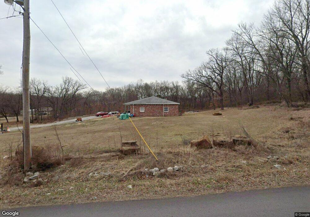
10258 W 71st St S Sapulpa, OK 74066
Estimated Value: $155,000 - $250,000
2
Beds
1
Bath
2,113
Sq Ft
$100/Sq Ft
Est. Value
About This Home
This home is located at 10258 W 71st St S, Sapulpa, OK 74066 and is currently estimated at $210,676, approximately $99 per square foot. 10258 W 71st St S is a home located in Creek County with nearby schools including Allen-Bowden Public School.
Ownership History
Date
Name
Owned For
Owner Type
Purchase Details
Closed on
Jul 6, 2018
Sold by
Pollard Michael Leo
Bought by
Pollard Rebecca Jean and Pollard Michael Leo
Current Estimated Value
Purchase Details
Closed on
Oct 6, 2003
Sold by
Wright Chris and Wright Sonia
Bought by
Pollard Michael Leo
Purchase Details
Closed on
Aug 20, 1998
Sold by
Porter Bennie and Porter Bessie
Purchase Details
Closed on
Jun 18, 1997
Sold by
Haynes Donald and Haynes Mary
Create a Home Valuation Report for This Property
The Home Valuation Report is an in-depth analysis detailing your home's value as well as a comparison with similar homes in the area
Home Values in the Area
Average Home Value in this Area
Purchase History
| Date | Buyer | Sale Price | Title Company |
|---|---|---|---|
| Pollard Rebecca Jean | -- | -- | |
| Pollard Michael Leo | $74,000 | -- | |
| -- | $44,000 | -- | |
| -- | $30,000 | -- |
Source: Public Records
Tax History Compared to Growth
Tax History
| Year | Tax Paid | Tax Assessment Tax Assessment Total Assessment is a certain percentage of the fair market value that is determined by local assessors to be the total taxable value of land and additions on the property. | Land | Improvement |
|---|---|---|---|---|
| 2025 | $1,297 | $16,164 | $900 | $15,264 |
| 2024 | $1,297 | $16,800 | $882 | $15,918 |
| 2023 | $1,297 | $19,680 | $900 | $18,780 |
| 2022 | $1,511 | $19,107 | $900 | $18,207 |
| 2021 | $1,468 | $18,550 | $900 | $17,650 |
| 2020 | $1,411 | $18,010 | $900 | $17,110 |
| 2019 | $1,366 | $17,485 | $900 | $16,585 |
| 2018 | $1,300 | $16,482 | $900 | $15,582 |
| 2017 | $1,268 | $16,002 | $900 | $15,102 |
| 2016 | $1,250 | $15,536 | $900 | $14,636 |
| 2015 | -- | $15,083 | $900 | $14,183 |
| 2014 | -- | $14,644 | $1,536 | $13,108 |
Source: Public Records
Map
Nearby Homes
- 6872 S 97th West Ave
- 11205 W Tiger Ln
- 6250 S 97th West Ave
- 114 Sherlyn Ln
- 0 S 113th West Ave
- 0 S 102nd Ave W Unit 2542522
- 0 Tracie Ln
- 10901 W 57th St S
- 5410 Skylane Dr
- 5609 S 85th West Ave
- 5320 S Walnut Creek Place
- 5317 Skylane Dr
- 5325 S 86th Ave W
- Ridgway III Plan at Stone Creek Estates IV
- Brenda MG Plan at Stone Creek Estates IV
- Walker ll Plan at Stone Creek Estates IV
- Dorsey Farm House Plan at Stone Creek Estates IV
- Oak Plan at Stone Creek Estates IV
- Ashville AE Plan at Stone Creek Estates IV
- Ashville Plan at Stone Creek Estates IV
- 10214 W 71st St S
- 10360 W 71st St S
- 4602 N Walnut Dr
- 10178 W 71st St S
- 10410 W 71st St S
- 10221 W 71st St S
- 10205 W 71st St S
- 4616 N Walnut Dr
- 7141 Cottonwood Rd
- 7233 Cottonwood Rd
- 10156 W 71st St S
- 10132 W 71st St S
- 10137 W 71st St S
- 4619 N Walnut Dr
- 4626 N Walnut Dr
- 10078 W 71st St S
- 7126 Cottonwood Rd
- 7201 Cottonwood Rd
- 7174 Cottonwood Rd
- 7180 Cottonwood Rd