1026 Brownsboro Rd Gurley, AL 35748
Estimated Value: $108,828 - $194,000
--
Bed
--
Bath
1,240
Sq Ft
$120/Sq Ft
Est. Value
About This Home
This home is located at 1026 Brownsboro Rd, Gurley, AL 35748 and is currently estimated at $148,707, approximately $119 per square foot. 1026 Brownsboro Rd is a home with nearby schools including Central School and Madison County High School.
Ownership History
Date
Name
Owned For
Owner Type
Purchase Details
Closed on
Jul 31, 2024
Sold by
Campbell Scotty R and Campbell Leslie N
Bought by
Scott Riley and Brown Tyler
Current Estimated Value
Home Financials for this Owner
Home Financials are based on the most recent Mortgage that was taken out on this home.
Original Mortgage
$164,141
Outstanding Balance
$161,985
Interest Rate
6.87%
Mortgage Type
New Conventional
Estimated Equity
-$13,278
Purchase Details
Closed on
Jan 20, 2017
Sold by
Schubert Angela and Renfroe Angela Michele
Bought by
Campbell Scotty R and Campbell Leslie N
Home Financials for this Owner
Home Financials are based on the most recent Mortgage that was taken out on this home.
Original Mortgage
$49,572
Interest Rate
4.13%
Mortgage Type
New Conventional
Purchase Details
Closed on
Mar 28, 2008
Sold by
Gender Matthew T
Bought by
Schubert Angela
Create a Home Valuation Report for This Property
The Home Valuation Report is an in-depth analysis detailing your home's value as well as a comparison with similar homes in the area
Home Values in the Area
Average Home Value in this Area
Purchase History
| Date | Buyer | Sale Price | Title Company |
|---|---|---|---|
| Scott Riley | $160,000 | None Listed On Document | |
| Campbell Scotty R | $58,320 | None Available | |
| Schubert Angela | -- | -- |
Source: Public Records
Mortgage History
| Date | Status | Borrower | Loan Amount |
|---|---|---|---|
| Open | Scott Riley | $164,141 | |
| Previous Owner | Campbell Scotty R | $49,572 |
Source: Public Records
Tax History Compared to Growth
Tax History
| Year | Tax Paid | Tax Assessment Tax Assessment Total Assessment is a certain percentage of the fair market value that is determined by local assessors to be the total taxable value of land and additions on the property. | Land | Improvement |
|---|---|---|---|---|
| 2024 | $333 | $15,080 | $2,360 | $12,720 |
| 2023 | $543 | $14,740 | $2,360 | $12,380 |
| 2022 | $442 | $12,220 | $1,220 | $11,000 |
| 2021 | $399 | $11,040 | $1,220 | $9,820 |
| 2020 | $374 | $10,360 | $1,220 | $9,140 |
| 2019 | $362 | $10,020 | $1,220 | $8,800 |
| 2018 | $337 | $9,320 | $0 | $0 |
| 2017 | $120 | $4,660 | $0 | $0 |
| 2016 | $120 | $4,660 | $0 | $0 |
| 2015 | $120 | $4,660 | $0 | $0 |
| 2014 | $119 | $4,620 | $0 | $0 |
Source: Public Records
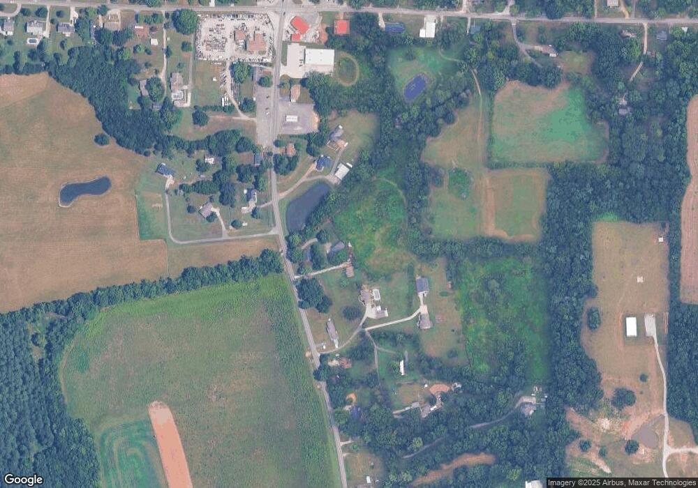
Map
Nearby Homes
- 1519 Ryland Pike
- 216 Grasslands Rd
- 221 Grasslands Rd
- 235 Grasslands Rd
- 211 Powell St
- 218 Powell St
- 102 Peyton Cir
- 172 Day Dr
- 107 Nolan Dr
- 3608 Maysville Rd NE
- 111 Cool Cir
- 0 Gilliam Rd
- 483 Moontown Rd
- 309 Gilliam Rd
- 477 Moontown Rd
- 506 Moontown Rd
- 362 Moontown Rd
- 350 Moontown Rd
- 123 Delta Pine Dr
- PPin#507136 Moontown Rd
- 1014 Brownsboro Rd
- 1000 Brownsboro Rd
- 986 Brownsboro Rd
- 1050 Brownsboro Rd
- 1049 Brownsboro Rd
- 1052 Brownsboro Rd
- 1068 Brownsboro Rd
- 994 Brownsboro Rd
- 966 Brownsboro Rd
- 1035 Brownsboro Rd
- 958 Brownsboro Rd
- 1090 Brownsboro Rd
- 1097 Brownsboro Rd
- 1033 Brownsboro Rd
- 938 Brownsboro Rd
- 138 Hurricane Creek Rd
- 158 Hurricane Creek Rd
- 1562 Ryland Pike
- 1572 Ryland Pike
- 168 Hurricane Creek Rd