1026 Cannon Ln Summit, MS 39666
Estimated Value: $190,000 - $328,000
About This Home
This home is located at 1026 Cannon Ln, Summit, MS 39666 and is currently estimated at $245,967, approximately $131 per square foot. 1026 Cannon Ln is a home located in Pike County with nearby schools including North Pike Elementary School, North Pike Middle School, and North Pike Senior High School.
Ownership History
We collect this data history from publicly available records. To have your information removed, we recommend requesting removal directly through your county’s website.
Purchase Details
Home Financials for this Owner
Home Financials are based on the most recent Mortgage that was taken out on this home.Purchase Details
Home Financials for this Owner
Home Financials are based on the most recent Mortgage that was taken out on this home.Purchase History
We collect this data history from publicly available records. To have your information removed, we recommend requesting removal directly through your county’s website.
| Date | Buyer | Sale Price | Title Company |
|---|---|---|---|
| -- | None Available | ||
| -- | None Available |
Mortgage History
We collect this data history from publicly available records. To have your information removed, we recommend requesting removal directly through your county’s website.
| Date | Status | Borrower | Loan Amount |
|---|---|---|---|
| Open | $183,330 | ||
| Previous Owner | $140,000 |
Tax History
We collect this data history from publicly available records. To have your information removed, we recommend requesting removal directly through your county’s website.
| Year | Tax Paid | Tax Assessment Tax Assessment Total Assessment is a certain percentage of the fair market value that is determined by local assessors to be the total taxable value of land and additions on the property. | Land | Improvement |
|---|---|---|---|---|
| 2025 | $1,901 | $16,259 | $0 | $0 |
| 2024 | $1,558 | $13,520 | $0 | $0 |
| 2023 | $1,518 | $13,525 | $0 | $0 |
| 2022 | $1,493 | $13,531 | $0 | $0 |
| 2021 | $1,490 | $13,538 | $0 | $0 |
| 2020 | $1,516 | $13,682 | $0 | $0 |
| 2019 | $1,473 | $13,690 | $0 | $0 |
| 2018 | $1,462 | $13,696 | $0 | $0 |
| 2017 | $1,424 | $13,689 | $0 | $0 |
| 2016 | $1,584 | $16,948 | $0 | $0 |
| 2015 | -- | $13,677 | $0 | $0 |
| 2014 | -- | $13,678 | $0 | $0 |
| 2013 | -- | $13,678 | $0 | $0 |
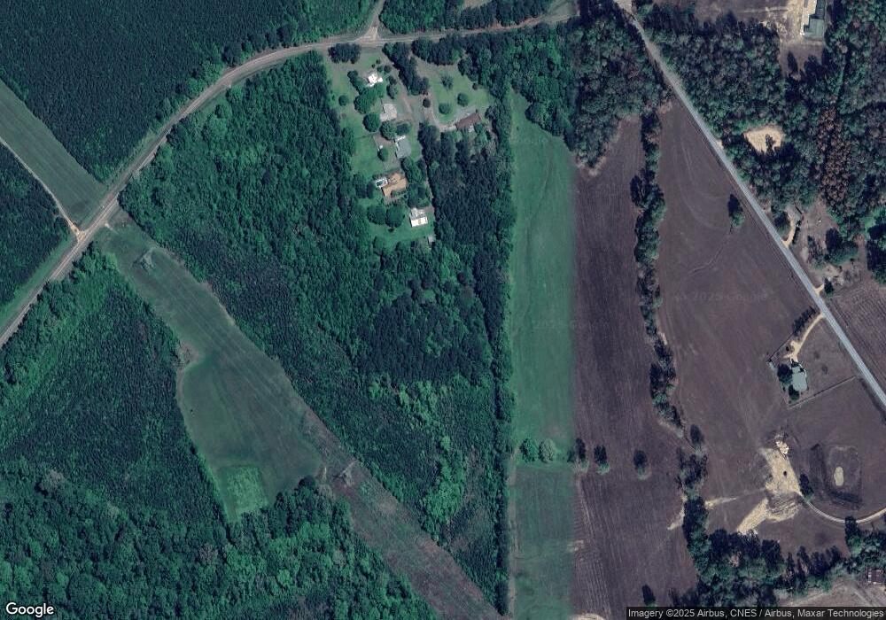
Map
- Tbd Hwy 570 River Road N and S
- 0 N Lot 3 River Rd Unit 4149476
- 0 N Lot 2 River Rd Unit 4149473
- 0 N Lot 1 River Rd Unit 4149471
- 0 Shell Oil Rd
- 3115 River Ridge Rd
- 2075 Hartwell Rd
- 0 River Rd N
- 3042 Brandi Rd
- 3151 Highway 44 E
- 0 W Topisaw N
- 1073 Hillcrest Farms Ln
- 2101 Mississippi 44
- 0 Claudette Ln Unit 4148832
- 1011 Rolling Oaks Dr
- 0 Cole Dr SE
- Tbd Moaks Creek Rd
- 1152 Robb St Unit E
- 8001 W Topisaw S
- TBD Hwy 44e
- 1020 Cannon Ln
- 1016 Cannon Ln
- 6074 Highway 570 E
- 5160 Highway 570 E
- 1006 Cannon Ln
- 9046 River Rd S
- 9056 River Rd S
- 9035 River Rd S
- 1042 River Rd N
- 5159 Highway 570 E
- 8181 River Rd S
- 8135 River Rd S
- 1119 River Rd N
- 8172 River Rd S
- 1019 David Manning Rd
- 1112 River Rd N
- 6195 Highway 570 E
- 1020 David Manning Rd
- 7003 Highway 570 E
- 1055 David Manning Rd
Ask me questions while you tour the home.