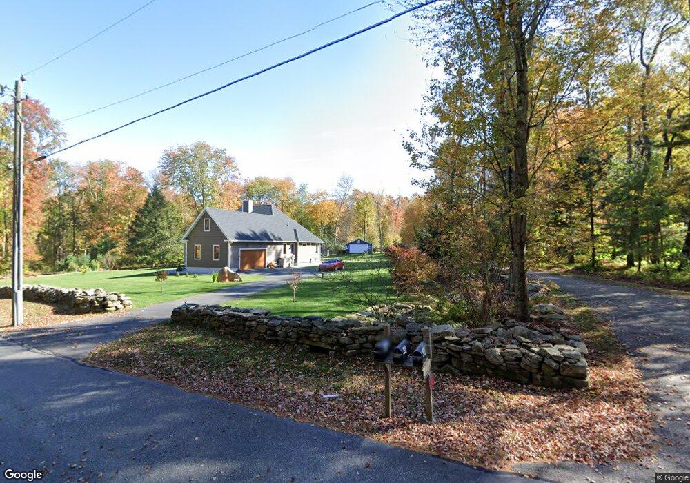
1026 Cedar Swamp Rd Coventry, CT 06238
Estimated Value: $647,000 - $787,000
4
Beds
3
Baths
2,687
Sq Ft
$275/Sq Ft
Est. Value
About This Home
This home is located at 1026 Cedar Swamp Rd, Coventry, CT 06238 and is currently estimated at $740,211, approximately $275 per square foot. 1026 Cedar Swamp Rd is a home with nearby schools including Coventry Grammar School, George Hersey Robertson School, and Capt. Nathan Hale School.
Ownership History
Date
Name
Owned For
Owner Type
Purchase Details
Closed on
Oct 27, 2011
Sold by
Lillian Woods Llc
Bought by
Amb Assoc Llc
Current Estimated Value
Purchase Details
Closed on
Oct 27, 2010
Sold by
Amb Assoc Llc
Bought by
Seeley Hope C
Home Financials for this Owner
Home Financials are based on the most recent Mortgage that was taken out on this home.
Original Mortgage
$300,000
Interest Rate
4.39%
Create a Home Valuation Report for This Property
The Home Valuation Report is an in-depth analysis detailing your home's value as well as a comparison with similar homes in the area
Home Values in the Area
Average Home Value in this Area
Purchase History
| Date | Buyer | Sale Price | Title Company |
|---|---|---|---|
| Amb Assoc Llc | -- | -- | |
| Seeley Hope C | $452,626 | -- | |
| Amb Assoc Llc | -- | -- | |
| Seeley Hope C | $452,626 | -- |
Source: Public Records
Mortgage History
| Date | Status | Borrower | Loan Amount |
|---|---|---|---|
| Open | Seeley Hope C | $320,000 | |
| Previous Owner | Seeley Hope C | $300,000 |
Source: Public Records
Tax History Compared to Growth
Tax History
| Year | Tax Paid | Tax Assessment Tax Assessment Total Assessment is a certain percentage of the fair market value that is determined by local assessors to be the total taxable value of land and additions on the property. | Land | Improvement |
|---|---|---|---|---|
| 2025 | $12,614 | $530,900 | $69,700 | $461,200 |
| 2024 | $10,886 | $326,800 | $55,000 | $271,800 |
| 2023 | $10,373 | $326,800 | $55,000 | $271,800 |
| 2022 | $10,180 | $326,800 | $55,000 | $271,800 |
| 2021 | $10,180 | $326,800 | $55,000 | $271,800 |
| 2020 | $10,186 | $326,800 | $55,000 | $271,800 |
| 2019 | $10,523 | $326,800 | $55,000 | $271,800 |
| 2018 | $9,106 | $282,800 | $55,000 | $227,800 |
| 2017 | $7,722 | $241,300 | $55,000 | $186,300 |
| 2016 | $7,529 | $241,300 | $55,000 | $186,300 |
| 2015 | $7,529 | $241,300 | $55,000 | $186,300 |
| 2014 | $9,315 | $327,200 | $67,200 | $260,000 |
Source: Public Records
Map
Nearby Homes
- 93 Dockerel Rd
- 101 Dockerel Rd
- 65 Bolton Branch Rd
- 7 Laurelwood Ln Unit Lot 15
- 12 Laurelwood Ln Unit lot 8
- 16 Julia Rd
- 5 Laurelwood Ln Unit lot 16
- 231 Brandy Hill Rd
- 676 Bolton Rd
- 70 Branden Way
- 109 Timber Trail
- 28 Columbine Rd
- 64 Columbine Rd
- 30 Tolland Rd
- 15 Elm Rd
- 0 Boston Turnpike Unit 24128587
- 39 Josephine Way
- 395 Grant Hill Rd Unit Lot21
- 395 Grant Hill (Mill Race Drive) Lot #21 Rd
- 38 Josephine Way
- 1020 Cedar Swamp Rd
- 1040 Cedar Swamp Rd
- 1194 Cedar Swamp Rd
- 164 Satari Dr
- 169 Satari Dr
- 1030 Cedar Swamp Rd
- 160 Satari Dr
- 1192 Cedar Swamp Rd
- 1010 Cedar Swamp Rd
- 1028 Cedar Swamp Rd
- 156 Satari Dr
- 151 Satari Dr
- 146 Satari Dr
- 145 Satari Dr
- 145 Satari Dr
- 145 Satari Dr Unit Lot 17
- 1145 Cedar Swamp Rd
- 136 Satari Dr
- 1245 Cedar Swamp Rd
- 135 Satari Dr