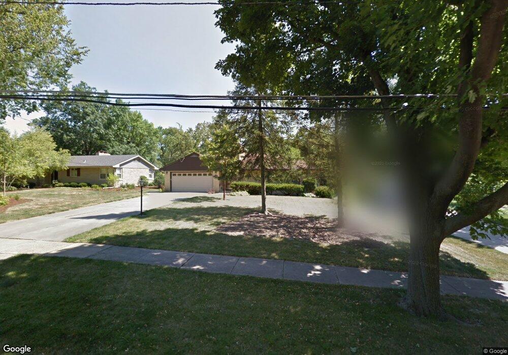
1026 E Harrison Ave Wheaton, IL 60187
Hawthorne NeighborhoodEstimated Value: $462,772 - $691,000
4
Beds
2
Baths
1,846
Sq Ft
$306/Sq Ft
Est. Value
About This Home
This home is located at 1026 E Harrison Ave, Wheaton, IL 60187 and is currently estimated at $564,193, approximately $305 per square foot. 1026 E Harrison Ave is a home located in DuPage County with nearby schools including Longfellow Elementary School, Franklin Middle School, and Wheaton North High School.
Ownership History
Date
Name
Owned For
Owner Type
Purchase Details
Closed on
May 7, 2021
Sold by
Carlson David A and Geraldine E Carlson Trust
Bought by
Deibold Diana Carlson and Diana Carlson Diebord Trust
Current Estimated Value
Purchase Details
Closed on
Apr 25, 2016
Sold by
Carlson Geraldine E
Bought by
Carlson David A and Geraldine E Carlson Trust Agreement
Create a Home Valuation Report for This Property
The Home Valuation Report is an in-depth analysis detailing your home's value as well as a comparison with similar homes in the area
Home Values in the Area
Average Home Value in this Area
Purchase History
| Date | Buyer | Sale Price | Title Company |
|---|---|---|---|
| Deibold Diana Carlson | -- | None Available | |
| Carlson David A | -- | Attorney |
Source: Public Records
Tax History
| Year | Tax Paid | Tax Assessment Tax Assessment Total Assessment is a certain percentage of the fair market value that is determined by local assessors to be the total taxable value of land and additions on the property. | Land | Improvement |
|---|---|---|---|---|
| 2024 | $8,363 | $145,762 | $42,815 | $102,947 |
| 2023 | $7,986 | $134,170 | $39,410 | $94,760 |
| 2022 | $8,367 | $126,810 | $37,240 | $89,570 |
| 2021 | $8,337 | $123,800 | $36,360 | $87,440 |
| 2020 | $7,955 | $122,650 | $36,020 | $86,630 |
| 2019 | $7,761 | $119,410 | $35,070 | $84,340 |
| 2018 | $8,347 | $126,250 | $46,790 | $79,460 |
| 2017 | $8,208 | $121,590 | $45,060 | $76,530 |
| 2016 | $8,081 | $116,730 | $43,260 | $73,470 |
| 2015 | $7,999 | $111,360 | $41,270 | $70,090 |
| 2014 | $7,473 | $103,160 | $24,140 | $79,020 |
| 2013 | $7,282 | $103,470 | $24,210 | $79,260 |
Source: Public Records
Map
Nearby Homes
- 820 Cherry St
- 720 E Harrison Ave
- 817 E Forest Ave
- 404 Lawrence Ave
- 412 Lawrence Ave
- 123 S Blanchard St
- 1607 Stoddard Ave
- 110 Travers Ave
- 328 Lorraine St
- 312 E Lincoln Ave
- 722 Countryside Dr
- 1603 Ashton Ct
- 808 Bridle Ln
- 1010 E Illinois St
- 353 E Liberty Dr
- 1017 N Main St
- 185 N Ott Ave
- 1906 N Summit St
- 421 E Willow Ave
- 1115 N Main St
- 1022 E Harrison Ave
- 1104 E Harrison Ave
- 829 N President St
- 827 N President St
- 837 N President St
- 823 N President St
- 832 Stoddard Ave
- 819 N President St
- 1017 E Harrison Ave
- 836 Stoddard Ave
- 1122 E Harrison Ave
- 1107 E Harrison Ave
- 820 Stoddard Ave
- 908 Eddy Ct
- 907 Eddy Ct
- 901 N President St
- 1025 North Path
- 903 N President St
- 814 Stoddard Ave
- 902 Stoddard Ave
Your Personal Tour Guide
Ask me questions while you tour the home.