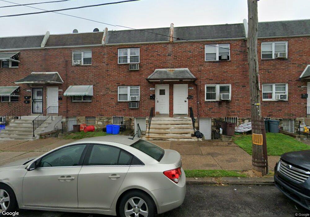
1026 E Sanger St Philadelphia, PA 19124
Frankford NeighborhoodEstimated Value: $224,000 - $271,961
2
Beds
2
Baths
1,536
Sq Ft
$158/Sq Ft
Est. Value
About This Home
This home is located at 1026 E Sanger St, Philadelphia, PA 19124 and is currently estimated at $242,654, approximately $157 per square foot. 1026 E Sanger St is a home located in Philadelphia County with nearby schools including Frankford High School, The Philadelphia Charter School for the Arts & Sciences, and Northwood Academy Charter School.
Ownership History
Date
Name
Owned For
Owner Type
Purchase Details
Closed on
Nov 30, 2006
Sold by
Herring Rhonda N and Hatcher Rhonda N
Bought by
Guerrero Salvador E and Guerrero Maria C
Current Estimated Value
Purchase Details
Closed on
Aug 2, 2001
Sold by
Dollak Joseph B and Dollak Joyce
Bought by
Herring Rhonda N
Home Financials for this Owner
Home Financials are based on the most recent Mortgage that was taken out on this home.
Original Mortgage
$63,002
Interest Rate
6.92%
Mortgage Type
FHA
Create a Home Valuation Report for This Property
The Home Valuation Report is an in-depth analysis detailing your home's value as well as a comparison with similar homes in the area
Home Values in the Area
Average Home Value in this Area
Purchase History
| Date | Buyer | Sale Price | Title Company |
|---|---|---|---|
| Guerrero Salvador E | $130,000 | None Available | |
| Herring Rhonda N | $63,500 | -- |
Source: Public Records
Mortgage History
| Date | Status | Borrower | Loan Amount |
|---|---|---|---|
| Previous Owner | Herring Rhonda N | $63,002 | |
| Closed | Herring Rhonda N | $2,520 |
Source: Public Records
Tax History Compared to Growth
Tax History
| Year | Tax Paid | Tax Assessment Tax Assessment Total Assessment is a certain percentage of the fair market value that is determined by local assessors to be the total taxable value of land and additions on the property. | Land | Improvement |
|---|---|---|---|---|
| 2026 | $2,935 | $260,700 | $52,140 | $208,560 |
| 2025 | $2,935 | $260,700 | $52,140 | $208,560 |
| 2024 | $2,935 | $260,700 | $52,140 | $208,560 |
| 2023 | $2,935 | $209,700 | $41,940 | $167,760 |
| 2022 | $2,935 | $209,700 | $41,940 | $167,760 |
| 2021 | $1,674 | $0 | $0 | $0 |
| 2020 | $1,674 | $0 | $0 | $0 |
| 2019 | $1,607 | $0 | $0 | $0 |
| 2018 | $1,512 | $0 | $0 | $0 |
| 2017 | $1,512 | $0 | $0 | $0 |
| 2016 | $1,512 | $0 | $0 | $0 |
| 2015 | $1,447 | $0 | $0 | $0 |
| 2014 | -- | $108,000 | $21,190 | $86,810 |
| 2012 | -- | $18,752 | $1,839 | $16,913 |
Source: Public Records
Map
Nearby Homes
- 1431 Rosalie St
- 1137 Bridge St
- 1209 E Sanger St
- 1048 Bridge St
- 5902 E Roosevelt Blvd
- 5661 Miriam Rd
- 5659 Miriam Rd
- 5347 Sylvester St
- 1244 E Sanger St
- 7753 E Roosevelt Blvd
- 996 Anchor St
- 7600 E Roosevelt Blvd Unit 206
- 7600 E Roosevelt Blvd Unit 212
- 7600 E Roosevelt Blvd Unit 909
- 7600 E Roosevelt Blvd Unit 705
- 7600 E Roosevelt Blvd Unit 701
- 7600 E Roosevelt Blvd Unit 806
- 7600 E Roosevelt Blvd Unit 904
- 7600 E Roosevelt Blvd Unit 604
- 6632 E Roosevelt Blvd
- 1028 E Sanger St
- 1024 E Sanger St
- 1022 E Sanger St
- 1030 E Sanger St
- 1032 E Sanger St
- 1020 E Sanger St
- 1034 E Sanger St
- 5355 Oxford Ave Unit B
- 5355 Oxford Ave Unit A
- 5355 Oxford Ave
- 5353 Oxford Ave
- 5359 Oxford Ave
- 5350 Large St
- 5356 Large St
- 5354 Large St
- 5352 Large St
- 5358 Large St
- 5401 Rutland St
- 5360 Large St
- 5348 Large St