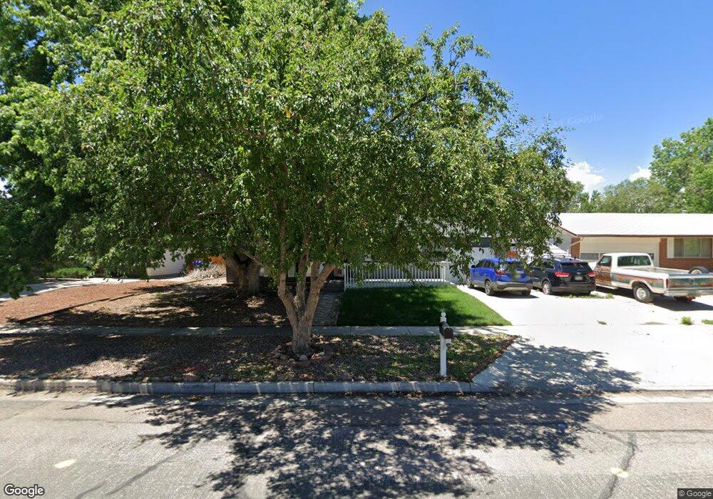
1026 Moffat Cir Colorado Springs, CO 80915
Rustic Hills NeighborhoodEstimated Value: $360,426 - $412,000
4
Beds
2
Baths
1,074
Sq Ft
$362/Sq Ft
Est. Value
About This Home
This home is located at 1026 Moffat Cir, Colorado Springs, CO 80915 and is currently estimated at $388,607, approximately $361 per square foot. 1026 Moffat Cir is a home located in El Paso County with nearby schools including Wilson Elementary School, Sabin Middle School, and Mitchell High School.
Ownership History
Date
Name
Owned For
Owner Type
Purchase Details
Closed on
Aug 19, 2020
Sold by
Mejia Christian G and Mejia Marilu R
Bought by
Trujillo Kathleen Ann
Current Estimated Value
Home Financials for this Owner
Home Financials are based on the most recent Mortgage that was taken out on this home.
Original Mortgage
$284,747
Outstanding Balance
$252,591
Interest Rate
3%
Mortgage Type
FHA
Estimated Equity
$136,016
Purchase Details
Closed on
Oct 20, 1993
Sold by
Goeson Frank J
Bought by
Guerra Amy L
Home Financials for this Owner
Home Financials are based on the most recent Mortgage that was taken out on this home.
Original Mortgage
$85,650
Interest Rate
6.96%
Mortgage Type
FHA
Purchase Details
Closed on
Dec 1, 1983
Bought by
Mejia Christian G
Create a Home Valuation Report for This Property
The Home Valuation Report is an in-depth analysis detailing your home's value as well as a comparison with similar homes in the area
Home Values in the Area
Average Home Value in this Area
Purchase History
| Date | Buyer | Sale Price | Title Company |
|---|---|---|---|
| Trujillo Kathleen Ann | $290,000 | Empire Title Co Springs Llc | |
| Guerra Amy L | $85,400 | -- | |
| Mejia Christian G | -- | -- |
Source: Public Records
Mortgage History
| Date | Status | Borrower | Loan Amount |
|---|---|---|---|
| Open | Trujillo Kathleen Ann | $284,747 | |
| Previous Owner | Guerra Amy L | $85,650 |
Source: Public Records
Tax History Compared to Growth
Tax History
| Year | Tax Paid | Tax Assessment Tax Assessment Total Assessment is a certain percentage of the fair market value that is determined by local assessors to be the total taxable value of land and additions on the property. | Land | Improvement |
|---|---|---|---|---|
| 2025 | $1,226 | $25,160 | -- | -- |
| 2024 | $1,115 | $26,470 | $4,150 | $22,320 |
| 2023 | $1,115 | $26,470 | $4,150 | $22,320 |
| 2022 | $1,011 | $18,070 | $3,340 | $14,730 |
| 2021 | $1,097 | $18,590 | $3,430 | $15,160 |
| 2020 | $1,038 | $15,290 | $3,000 | $12,290 |
| 2019 | $1,032 | $15,290 | $3,000 | $12,290 |
| 2018 | $905 | $12,330 | $2,380 | $9,950 |
| 2017 | $857 | $12,330 | $2,380 | $9,950 |
| 2016 | $676 | $11,660 | $2,310 | $9,350 |
| 2015 | $673 | $11,660 | $2,310 | $9,350 |
| 2014 | $662 | $11,000 | $2,310 | $8,690 |
Source: Public Records
Map
Nearby Homes
- 1103 Turley Cir
- 1125 Moffat Cir
- 4706 Woodbury Dr
- 1222 de Reamer Cir
- 1239 Martin Dr
- 1216 Osgood Rd
- 1202 Wooten Rd
- 1414 Martin Dr
- 1202 Fosdick Dr
- 5102 Galley Rd Unit 520AE
- 5102 Galley Rd Unit 120A
- 713 Lansing Dr
- 1426 de Reamer Cir
- 1770 Sawyer Way
- 1501 E Owen Cir
- 1508 E Owen Cir
- 1505 Mckay Way
- 4108 Fitzpatrick Dr
- 4102 Maxwell Rd
- 5007 Palmer Park Blvd
- 1022 Moffat Cir
- 1030 Moffat Cir
- 4512 Moffat Ln
- 4506 Moffat Ln
- 4518 Moffat Ln
- 1034 Moffat Cir
- 1106 Drake Cir
- 1029 Moffat Cir
- 1021 Moffat Cir
- 1110 Drake Cir
- 1033 Moffat Cir
- 4602 Moffat Ln
- 4605 Woodbury Dr
- 4502 Moffat Ln
- 4606 Woodbury Dr
- 4515 Moffat Ln
- 1010 Moffat Cir
- 4511 Moffat Ln
- 1107 Martin Dr
- 1102 Moffat Cir