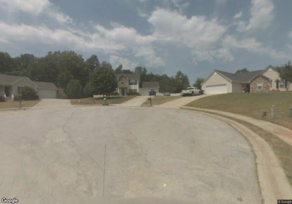
1026 Nunnally Ct Unit I Monroe, GA 30655
Estimated Value: $295,440 - $322,000
--
Bed
--
Bath
1,602
Sq Ft
$193/Sq Ft
Est. Value
About This Home
This home is located at 1026 Nunnally Ct Unit I, Monroe, GA 30655 and is currently estimated at $309,610, approximately $193 per square foot. 1026 Nunnally Ct Unit I is a home located in Walton County with nearby schools including Youth Elementary School, Youth Middle School, and Walnut Grove High School.
Ownership History
Date
Name
Owned For
Owner Type
Purchase Details
Closed on
Jun 17, 2020
Sold by
Manno Stacey D
Bought by
White Robert A and White Pamela L
Current Estimated Value
Purchase Details
Closed on
Nov 30, 1998
Sold by
Cannon Homes Inc
Bought by
White Robert A and White Stacey D
Home Financials for this Owner
Home Financials are based on the most recent Mortgage that was taken out on this home.
Original Mortgage
$108,018
Interest Rate
6.84%
Mortgage Type
VA
Purchase Details
Closed on
Mar 13, 1997
Sold by
Meridian Homesinc
Bought by
Cannon Homes Inc
Create a Home Valuation Report for This Property
The Home Valuation Report is an in-depth analysis detailing your home's value as well as a comparison with similar homes in the area
Home Values in the Area
Average Home Value in this Area
Purchase History
| Date | Buyer | Sale Price | Title Company |
|---|---|---|---|
| White Robert A | -- | -- | |
| White Robert A | $105,900 | -- | |
| Cannon Homes Inc | $16,900 | -- |
Source: Public Records
Mortgage History
| Date | Status | Borrower | Loan Amount |
|---|---|---|---|
| Previous Owner | White Robert A | $108,018 | |
| Closed | Cannon Homes Inc | $0 |
Source: Public Records
Tax History Compared to Growth
Tax History
| Year | Tax Paid | Tax Assessment Tax Assessment Total Assessment is a certain percentage of the fair market value that is determined by local assessors to be the total taxable value of land and additions on the property. | Land | Improvement |
|---|---|---|---|---|
| 2024 | $2,302 | $102,800 | $18,400 | $84,400 |
| 2023 | $1,865 | $99,920 | $18,400 | $81,520 |
| 2022 | $2,365 | $92,720 | $16,000 | $76,720 |
| 2021 | $2,132 | $77,360 | $14,000 | $63,360 |
| 2020 | $1,980 | $67,720 | $10,000 | $57,720 |
| 2019 | $1,801 | $58,520 | $10,000 | $48,520 |
| 2018 | $1,772 | $58,520 | $10,000 | $48,520 |
| 2017 | $1,912 | $55,480 | $10,000 | $45,480 |
| 2016 | $1,587 | $48,520 | $10,000 | $38,520 |
| 2015 | $1,459 | $43,320 | $8,000 | $35,320 |
| 2014 | $1,318 | $38,320 | $0 | $0 |
Source: Public Records
Map
Nearby Homes
- 1024 Nunnally Ct Unit I
- 3030 Amber Way
- 1022 Nunnally Ct
- 1025 Nunnally Ct
- 3040 Amber Way
- 1023 Nunnally Ct Unit 104
- 1023 Nunnally Ct Unit 1
- 0 Nunnally Ct Unit 8599673
- 0 Nunnally Ct Unit 8461654
- 0 Nunnally Ct Unit 8921508
- 0 Nunnally Ct Unit 3200178
- 0 Nunnally Ct Unit 7219204
- 0 Nunnally Ct Unit 7381670
- 0 Nunnally Ct Unit 8050321
- 0 Nunnally Ct
- 3020 Amber Way
- 3035 Amber Way
- 1395 Nunnally Trail
- 1020 Nunnally Ct
- 1393 Nunnally Trail