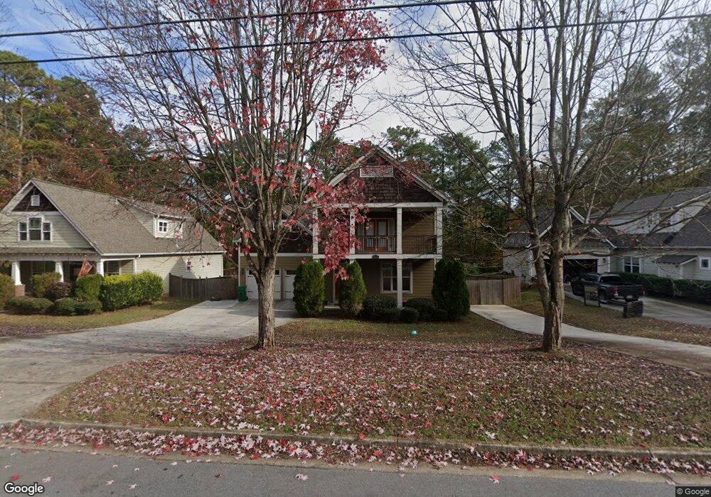
1026 Porter Rd Decatur, GA 30032
Estimated Value: $275,000 - $388,000
3
Beds
3
Baths
1,990
Sq Ft
$166/Sq Ft
Est. Value
About This Home
This home is located at 1026 Porter Rd, Decatur, GA 30032 and is currently estimated at $329,731, approximately $165 per square foot. 1026 Porter Rd is a home located in DeKalb County with nearby schools including Peachcrest Elementary School, Mary McLeod Bethune Middle School, and Towers High School.
Ownership History
Date
Name
Owned For
Owner Type
Purchase Details
Closed on
Apr 22, 2011
Sold by
State Bk & Trust Co
Bought by
Jucks Evelyn E
Current Estimated Value
Home Financials for this Owner
Home Financials are based on the most recent Mortgage that was taken out on this home.
Original Mortgage
$148,413
Outstanding Balance
$104,518
Interest Rate
5.25%
Mortgage Type
FHA
Estimated Equity
$225,213
Purchase Details
Closed on
Mar 23, 2011
Sold by
Security Bk Of Gwinnett Cnty
Bought by
State Bk & Trust Co
Home Financials for this Owner
Home Financials are based on the most recent Mortgage that was taken out on this home.
Original Mortgage
$148,413
Outstanding Balance
$104,518
Interest Rate
5.25%
Mortgage Type
FHA
Estimated Equity
$225,213
Purchase Details
Closed on
Jun 3, 2008
Sold by
Miltonian Ents Inc
Bought by
Security Bank Of Gwinnett Coun
Create a Home Valuation Report for This Property
The Home Valuation Report is an in-depth analysis detailing your home's value as well as a comparison with similar homes in the area
Home Values in the Area
Average Home Value in this Area
Purchase History
| Date | Buyer | Sale Price | Title Company |
|---|---|---|---|
| Jucks Evelyn E | $135,000 | -- | |
| State Bk & Trust Co | -- | -- | |
| Security Bank Of Gwinnett Coun | $313,793 | -- | |
| Security Bank Of Gwinnett Coun | $319,574 | -- |
Source: Public Records
Mortgage History
| Date | Status | Borrower | Loan Amount |
|---|---|---|---|
| Open | Jucks Evelyn E | $148,413 |
Source: Public Records
Tax History Compared to Growth
Tax History
| Year | Tax Paid | Tax Assessment Tax Assessment Total Assessment is a certain percentage of the fair market value that is determined by local assessors to be the total taxable value of land and additions on the property. | Land | Improvement |
|---|---|---|---|---|
| 2025 | $3,643 | $126,360 | $13,800 | $112,560 |
| 2024 | $3,770 | $128,400 | $11,040 | $117,360 |
| 2023 | $3,770 | $126,640 | $11,040 | $115,600 |
| 2022 | $3,273 | $109,120 | $11,040 | $98,080 |
| 2021 | $2,970 | $95,960 | $11,040 | $84,920 |
| 2020 | $2,636 | $81,280 | $11,040 | $70,240 |
| 2019 | $2,472 | $75,360 | $11,040 | $64,320 |
| 2018 | $2,308 | $84,840 | $11,040 | $73,800 |
| 2017 | $2,412 | $70,640 | $11,040 | $59,600 |
| 2016 | $2,009 | $60,720 | $11,040 | $49,680 |
| 2014 | $1,768 | $54,000 | $11,000 | $43,000 |
Source: Public Records
Map
Nearby Homes
- 980 Porter Rd
- 1089 Canal St
- 1072 Brookglynn Trace
- 1068 Longshore Dr
- 1092 Glen Opal Dr
- 1096 Glen Opal Dr
- 1145 Canal St
- 3820 Covington Hwy
- 3370 Sarah Trail Unit 6
- 3368 Sarah Trail Unit 5
- 3366 Sarah Trail Unit 4
- 3364 Sarah Trail Unit 3
- 3362 Sarah Trail Unit 2
- 1146 Canal St
- 880 Porter Rd Unit 2
- 876 Porter Rd Unit Lot 4
- 874 Porter Rd
- 3360 Sarah Trail Unit 1
- 3782 Kensingwood Trace
- 3814 Kensingwood Trace Unit 3814
- 1020 Porter Rd
- 1032 Porter Rd
- 1022 Porter Rd
- 1033R Porter Rd
- 0 Porter Rd Unit 8826167
- 1025 Porter Rd
- 1002 Porter Rd
- 3617 Porter Ct
- 1019 Porter Rd
- 994 Porter Rd
- 1049 Porter Rd
- 1003 Porter Rd
- 1056 Porter Rd
- 3634 Porter Ct
- 995 Porter Rd
- 985 Porter Rd
- 3682 Porter Ct
- 1057 Dove Valley Rd
- 1065 Longshore Cove
- 1070 Longshore Cove