Estimated Value: $236,000 - $295,000
2
Beds
2
Baths
1,929
Sq Ft
$137/Sq Ft
Est. Value
About This Home
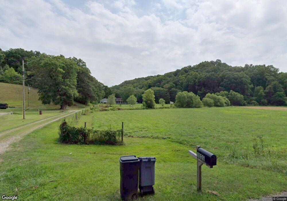
This home is located at 1026 Sour Run Rd, Ray, OH 45672 and is currently estimated at $264,352, approximately $137 per square foot. 1026 Sour Run Rd is a home located in Jackson County with nearby schools including Jackson High School.
Ownership History
Date
Name
Owned For
Owner Type
Purchase Details
Closed on
Mar 3, 2006
Sold by
Eberts James L
Bought by
Roe Christopher and Roe Cindy
Current Estimated Value
Home Financials for this Owner
Home Financials are based on the most recent Mortgage that was taken out on this home.
Original Mortgage
$27,240
Interest Rate
5.93%
Mortgage Type
Stand Alone Second
Purchase Details
Closed on
Aug 9, 2005
Sold by
Fannie Mae
Bought by
Eberts James L
Home Financials for this Owner
Home Financials are based on the most recent Mortgage that was taken out on this home.
Original Mortgage
$97,000
Interest Rate
5.69%
Mortgage Type
New Conventional
Purchase Details
Closed on
Jun 29, 2004
Sold by
Remy Angelina
Bought by
Federal National Mortgage Assoc
Create a Home Valuation Report for This Property
The Home Valuation Report is an in-depth analysis detailing your home's value as well as a comparison with similar homes in the area
Purchase History
| Date | Buyer | Sale Price | Title Company |
|---|---|---|---|
| Roe Christopher | $136,200 | None Available | |
| Eberts James L | $85,000 | None Available | |
| Federal National Mortgage Assoc | $63,300 | -- |
Source: Public Records
Mortgage History
| Date | Status | Borrower | Loan Amount |
|---|---|---|---|
| Closed | Roe Christopher | $27,240 | |
| Open | Roe Christopher | $108,960 | |
| Previous Owner | Eberts James L | $97,000 |
Source: Public Records
Tax History
| Year | Tax Paid | Tax Assessment Tax Assessment Total Assessment is a certain percentage of the fair market value that is determined by local assessors to be the total taxable value of land and additions on the property. | Land | Improvement |
|---|---|---|---|---|
| 2024 | $2,089 | $60,740 | $14,120 | $46,620 |
| 2023 | $2,128 | $60,740 | $14,120 | $46,620 |
| 2022 | $2,149 | $45,240 | $10,240 | $35,000 |
| 2021 | $1,695 | $45,240 | $10,240 | $35,000 |
| 2020 | $1,705 | $45,240 | $10,240 | $35,000 |
| 2019 | $1,560 | $40,750 | $9,220 | $31,530 |
| 2018 | $1,500 | $40,750 | $9,220 | $31,530 |
| 2017 | $1,350 | $40,750 | $9,220 | $31,530 |
| 2016 | $1,267 | $35,710 | $8,140 | $27,570 |
| 2015 | $1,275 | $35,710 | $8,140 | $27,570 |
| 2013 | $1,226 | $34,550 | $6,670 | $27,880 |
| 2012 | $1,245 | $34,550 | $6,670 | $27,880 |
Source: Public Records
Map
Nearby Homes
- 242 Sour Run Rd
- 1882 Oakland Rd
- 0 Raysville Rd
- 0 U S 35
- 523 Oakland Rd
- 3110 Borland Rd
- 3732 Borland Rd
- 2248 McCune Cemetery Rd
- 2286 McCune Cemetery Rd
- 16236 State Route 327
- 0 McCune Cemetery Rd
- 19338 Ohio 327
- 4 Hearney Ave
- 953 Limerick Rd
- 0 Limerick Rd
- 0 Broadway St
- 587 John W Barbee Rd
- 485 Springer Rd
- 82 Main St
- 2485 Smith Bridge Rd
- 1080 Sour Run Rd
- 1026 Sour Run Rd
- 1084 Sour Run Rd
- 969 Sour Run Rd
- 1169 Sour Run Rd
- 1169 Sour Run Rd
- 1322 Sour Run Rd
- 1434 Sour Run Rd
- 1513 Sour Run Rd
- 1477 Sour Run Rd
- 27 Meacham Rd
- 0 Sour Run Rd Unit Tract 2 11400531
- 0 Sour Run Rd Unit Lot 24 2801757
- 0 Sour Run Rd Unit 2430090
- 0 Sour Run Rd Unit 222040095
- 1514 Sour Run Rd
- 1672 Sour Run Rd
- 1163 Sour Run Rd
- 418 Valentine Rd
- 231 Meacham Rd
Your Personal Tour Guide
Ask me questions while you tour the home.