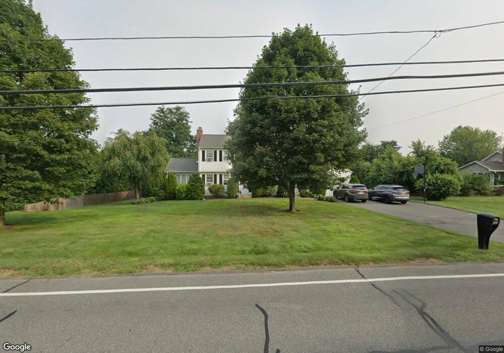
1026 Tinkham Rd Wilbraham, MA 01095
Estimated Value: $456,177 - $553,000
4
Beds
2
Baths
1,938
Sq Ft
$256/Sq Ft
Est. Value
About This Home
This home is located at 1026 Tinkham Rd, Wilbraham, MA 01095 and is currently estimated at $496,544, approximately $256 per square foot. 1026 Tinkham Rd is a home located in Hampden County with nearby schools including Minnechaug Regional High School, Pioneer Valley Montessori School, and Wilbraham & Monson Academy.
Ownership History
Date
Name
Owned For
Owner Type
Purchase Details
Closed on
Jun 28, 2002
Sold by
Lambert Terry J and Lambert Dorothy A
Bought by
Slattery Cheryl A and Slattery George C
Current Estimated Value
Home Financials for this Owner
Home Financials are based on the most recent Mortgage that was taken out on this home.
Original Mortgage
$180,000
Outstanding Balance
$77,441
Interest Rate
6.92%
Mortgage Type
Purchase Money Mortgage
Estimated Equity
$419,103
Create a Home Valuation Report for This Property
The Home Valuation Report is an in-depth analysis detailing your home's value as well as a comparison with similar homes in the area
Home Values in the Area
Average Home Value in this Area
Purchase History
| Date | Buyer | Sale Price | Title Company |
|---|---|---|---|
| Slattery Cheryl A | $225,000 | -- |
Source: Public Records
Mortgage History
| Date | Status | Borrower | Loan Amount |
|---|---|---|---|
| Open | Slattery Cheryl A | $180,000 | |
| Closed | Slattery Cheryl A | $10,000 | |
| Previous Owner | Slattery Cheryl A | $70,000 |
Source: Public Records
Tax History Compared to Growth
Tax History
| Year | Tax Paid | Tax Assessment Tax Assessment Total Assessment is a certain percentage of the fair market value that is determined by local assessors to be the total taxable value of land and additions on the property. | Land | Improvement |
|---|---|---|---|---|
| 2025 | $6,844 | $382,800 | $93,600 | $289,200 |
| 2024 | $6,747 | $364,700 | $93,600 | $271,100 |
| 2023 | $6,290 | $338,500 | $93,600 | $244,900 |
| 2022 | $6,290 | $307,000 | $93,600 | $213,400 |
| 2021 | $6,215 | $270,700 | $102,100 | $168,600 |
| 2020 | $6,058 | $270,700 | $102,100 | $168,600 |
| 2019 | $5,901 | $270,700 | $102,100 | $168,600 |
| 2018 | $5,916 | $261,300 | $102,100 | $159,200 |
| 2017 | $5,749 | $261,300 | $102,100 | $159,200 |
| 2016 | $5,463 | $252,900 | $108,500 | $144,400 |
| 2015 | $5,281 | $252,900 | $108,500 | $144,400 |
Source: Public Records
Map
Nearby Homes
- 1028 Tinkham Rd
- 6 Katie St
- 5 Old Carriage Dr
- 767 Stony Hill Rd
- 760 Stony Hill Rd
- 763 Stony Hill Rd
- 14 Brookdale Dr
- 5 Edgewood Rd
- 68 Monson Rd
- 390 Soule Rd
- 500 Springfield St
- 41 Brookside Dr
- 230V Burleigh Rd
- 27 Eastwood Dr
- 460 Soule Rd
- 8 Patriot Ridge Ln
- 374
- 25 Angelica Dr
- 19 Forest Hill Rd
- 59 Baldwin Dr