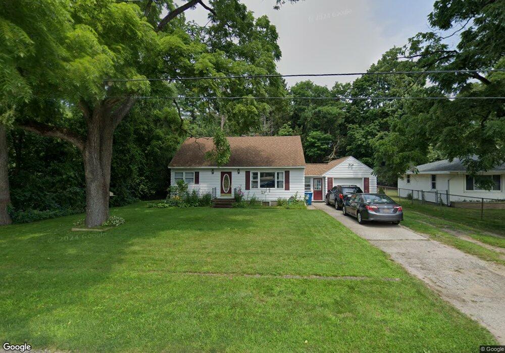
1026 W Giles Rd Muskegon, MI 49445
Estimated Value: $255,000 - $294,000
3
Beds
1
Bath
1,764
Sq Ft
$153/Sq Ft
Est. Value
About This Home
This home is located at 1026 W Giles Rd, Muskegon, MI 49445 and is currently estimated at $270,379, approximately $153 per square foot. 1026 W Giles Rd is a home located in Muskegon County with nearby schools including Reeths-Puffer High School.
Ownership History
Date
Name
Owned For
Owner Type
Purchase Details
Closed on
Jul 14, 2023
Sold by
Golden Barbara A
Bought by
Golden Barbara A and Golden Christopher J
Current Estimated Value
Purchase Details
Closed on
Mar 30, 2006
Sold by
Hysell Kevin
Bought by
Vanblargan Barbara A
Home Financials for this Owner
Home Financials are based on the most recent Mortgage that was taken out on this home.
Original Mortgage
$92,000
Interest Rate
9.25%
Mortgage Type
Fannie Mae Freddie Mac
Purchase Details
Closed on
Jul 8, 2005
Sold by
Hysell Tammy D
Bought by
Hysell Kevin W
Create a Home Valuation Report for This Property
The Home Valuation Report is an in-depth analysis detailing your home's value as well as a comparison with similar homes in the area
Home Values in the Area
Average Home Value in this Area
Purchase History
| Date | Buyer | Sale Price | Title Company |
|---|---|---|---|
| Golden Barbara A | -- | None Listed On Document | |
| Vanblargan Barbara A | $115,000 | Woodland Title | |
| Hysell Kevin W | -- | Rei |
Source: Public Records
Mortgage History
| Date | Status | Borrower | Loan Amount |
|---|---|---|---|
| Previous Owner | Vanblargan Barbara A | $92,000 |
Source: Public Records
Tax History Compared to Growth
Tax History
| Year | Tax Paid | Tax Assessment Tax Assessment Total Assessment is a certain percentage of the fair market value that is determined by local assessors to be the total taxable value of land and additions on the property. | Land | Improvement |
|---|---|---|---|---|
| 2025 | $3,155 | $103,000 | $0 | $0 |
| 2024 | $601 | $92,500 | $0 | $0 |
| 2023 | $574 | $78,200 | $0 | $0 |
| 2022 | $2,162 | $64,400 | $0 | $0 |
| 2021 | $2,055 | $57,300 | $0 | $0 |
| 2020 | $1,464 | $58,100 | $0 | $0 |
| 2019 | $2,853 | $57,800 | $0 | $0 |
| 2018 | $1,712 | $51,100 | $0 | $0 |
| 2017 | $1,924 | $49,500 | $0 | $0 |
| 2016 | $489 | $46,800 | $0 | $0 |
| 2015 | -- | $40,800 | $0 | $0 |
| 2014 | -- | $43,900 | $0 | $0 |
| 2013 | -- | $40,100 | $0 | $0 |
Source: Public Records
Map
Nearby Homes
- 1234 W Giles Rd
- 1141 N Robinhood Dr
- 1573 N Whitehall Rd
- 1310 W Giles Rd
- 834 Dykstra Rd
- 1045 Greenbriar Dr
- 1603 Horton Rd
- 1165 Horton Rd
- 1596 Nottingham Ct
- 2414 View Ln
- 2418 View Ln
- 1518 W Addison Way Unit 54
- 1709 Hampstead Dr
- 1516 W Addison Way Unit 54
- 602 Elsa St
- 1513 W Addison Way Unit 28
- 690 W Wedgewood Dr
- 2114 Mills Ave
- 2025 Whitehall Rd
- 780 Horton Rd