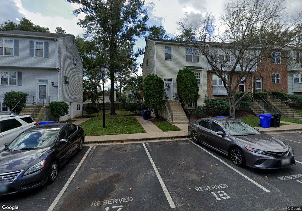
1026 West Ct Laurel, MD 20707
Estimated Value: $256,352 - $284,000
2
Beds
2
Baths
1,000
Sq Ft
$269/Sq Ft
Est. Value
About This Home
This home is located at 1026 West Ct, Laurel, MD 20707 and is currently estimated at $269,088, approximately $269 per square foot. 1026 West Ct is a home located in Prince George's County with nearby schools including Laurel Elementary School, Dwight D. Eisenhower Middle School, and Laurel High School.
Ownership History
Date
Name
Owned For
Owner Type
Purchase Details
Closed on
Apr 25, 2011
Sold by
Federal Home Loan Mortgage Corporation
Bought by
Bhaskarreddy Rom P
Current Estimated Value
Purchase Details
Closed on
Dec 16, 2010
Sold by
Fischetti Jay J
Bought by
Federal Home Loan Mortgage Corp
Purchase Details
Closed on
Nov 23, 2004
Sold by
Fischetti Jeffrey J
Bought by
Fischetti Jay J
Purchase Details
Closed on
Oct 19, 2004
Sold by
Fischetti Jeffrey J
Bought by
Fischetti Jay J
Purchase Details
Closed on
Apr 20, 2001
Sold by
Meyer Catherine A
Bought by
Fischetti Jeffrey J
Purchase Details
Closed on
Mar 29, 1994
Sold by
Laurel Park Mews Lp
Bought by
Meyer Catherine A
Home Financials for this Owner
Home Financials are based on the most recent Mortgage that was taken out on this home.
Original Mortgage
$86,950
Interest Rate
7.15%
Create a Home Valuation Report for This Property
The Home Valuation Report is an in-depth analysis detailing your home's value as well as a comparison with similar homes in the area
Home Values in the Area
Average Home Value in this Area
Purchase History
| Date | Buyer | Sale Price | Title Company |
|---|---|---|---|
| Bhaskarreddy Rom P | $59,200 | Goldstar Title Company | |
| Federal Home Loan Mortgage Corp | $139,080 | -- | |
| Fischetti Jay J | $165,000 | -- | |
| Fischetti Jay J | $165,000 | -- | |
| Fischetti Jeffrey J | $92,000 | -- | |
| Meyer Catherine A | $89,000 | -- |
Source: Public Records
Mortgage History
| Date | Status | Borrower | Loan Amount |
|---|---|---|---|
| Previous Owner | Meyer Catherine A | $86,950 |
Source: Public Records
Tax History
| Year | Tax Paid | Tax Assessment Tax Assessment Total Assessment is a certain percentage of the fair market value that is determined by local assessors to be the total taxable value of land and additions on the property. | Land | Improvement |
|---|---|---|---|---|
| 2025 | $3,837 | $228,200 | $68,400 | $159,800 |
| 2024 | $3,837 | $205,467 | -- | -- |
| 2023 | $3,013 | $182,733 | $0 | $0 |
| 2022 | $2,638 | $160,000 | $48,000 | $112,000 |
| 2021 | $2,957 | $160,000 | $48,000 | $112,000 |
| 2020 | $2,936 | $160,000 | $48,000 | $112,000 |
| 2019 | $3,134 | $160,000 | $48,000 | $112,000 |
| 2018 | $2,344 | $126,667 | $0 | $0 |
| 2017 | $1,154 | $93,333 | $0 | $0 |
| 2016 | -- | $60,000 | $0 | $0 |
| 2015 | $2,855 | $60,000 | $0 | $0 |
| 2014 | $2,855 | $60,000 | $0 | $0 |
Source: Public Records
Map
Nearby Homes
- 916 Philip Powers Dr
- 1016 Phillip Powers Dr
- 1116 Westview Terrace
- 903 Montrose Ave
- 910 Montgomery St Unit A
- 501 8th St
- 1012 Ward St
- 8040 Sandy Spring Rd
- 1103 Montgomery St
- 1028 Ward St
- 1000 8th St
- 9425 Fairview Ave
- 15012 Wheatland Place
- 15008 Courtland Place
- 8218 Londonderry Ct
- 1202 Marton St
- 413 Talbott Ave
- 9437 Fairview Ave
- 505A Montgomery St
- 509 4th St
Your Personal Tour Guide
Ask me questions while you tour the home.