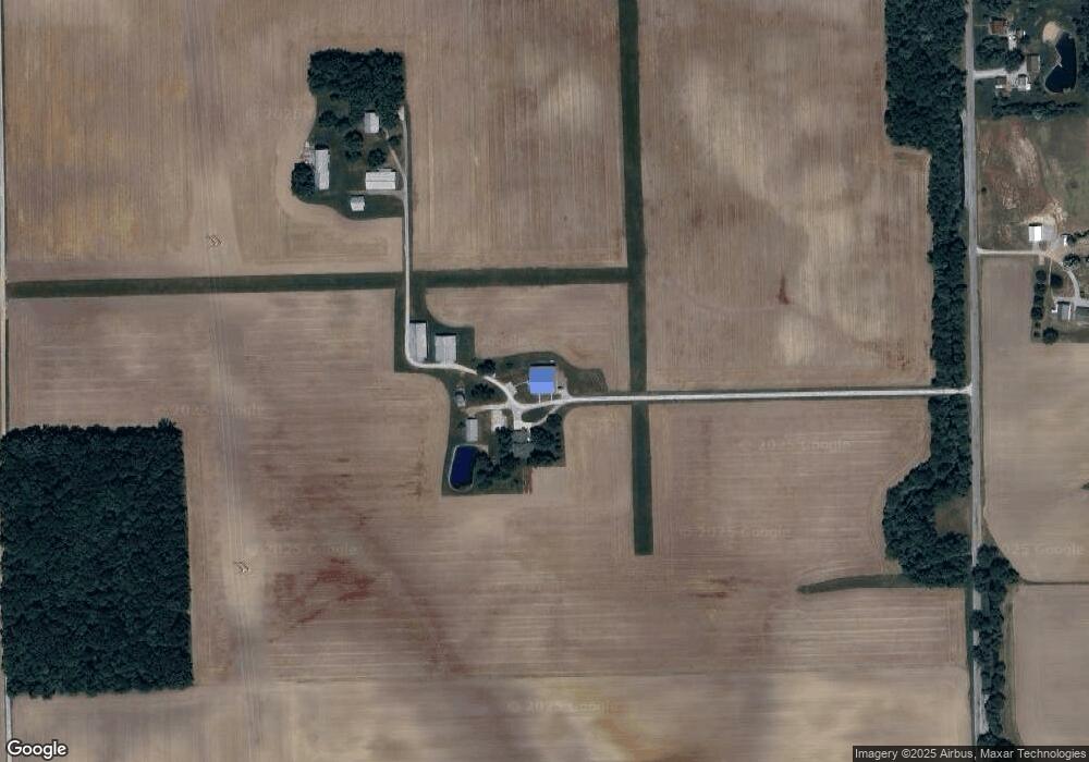
10262 N 550 W Decatur, IN 46733
Estimated Value: $298,000 - $373,000
4
Beds
2
Baths
2,723
Sq Ft
$119/Sq Ft
Est. Value
About This Home
This home is located at 10262 N 550 W, Decatur, IN 46733 and is currently estimated at $322,907, approximately $118 per square foot. 10262 N 550 W is a home located in Adams County with nearby schools including Southeast Elementary School, Bellmont Elementary School, and Bellmont Middle School.
Create a Home Valuation Report for This Property
The Home Valuation Report is an in-depth analysis detailing your home's value as well as a comparison with similar homes in the area
Home Values in the Area
Average Home Value in this Area
Tax History Compared to Growth
Tax History
| Year | Tax Paid | Tax Assessment Tax Assessment Total Assessment is a certain percentage of the fair market value that is determined by local assessors to be the total taxable value of land and additions on the property. | Land | Improvement |
|---|---|---|---|---|
| 2024 | $2,013 | $250,300 | $28,400 | $221,900 |
| 2023 | $1,980 | $233,800 | $28,400 | $205,400 |
| 2022 | $1,827 | $221,500 | $28,400 | $193,100 |
| 2021 | $1,707 | $204,900 | $25,100 | $179,800 |
| 2020 | $1,515 | $194,800 | $25,100 | $169,700 |
| 2019 | $1,211 | $169,400 | $25,100 | $144,300 |
| 2018 | $1,211 | $159,300 | $25,100 | $134,200 |
| 2017 | $1,117 | $150,900 | $23,900 | $127,000 |
| 2016 | $1,035 | $147,400 | $23,900 | $123,500 |
| 2014 | $874 | $140,500 | $23,900 | $116,600 |
| 2013 | $1,083 | $139,900 | $23,900 | $116,000 |
Source: Public Records
Map
Nearby Homes
- 11063 N 700 E
- 16205 Winchester Rd
- 5933 Hoagland Rd
- 8618 Hoagland Rd
- 7805 N 600 E
- 6010 N 600 W
- 5144 E 1200 N-90 Unit 90
- 3803 U S 224
- 10975 English St
- 10225 N 100 W
- 11040 English St
- 6068 N West St
- 12717 US Highway 27 S
- 12727 S US Highway 27
- 2591 Hogans Alley
- 2593 Hogans Alley
- 3703 E 1000 N
- 3667 E 1000 N
- 305 Piper Ct
- Harmony Plan at Crosswind Lakes