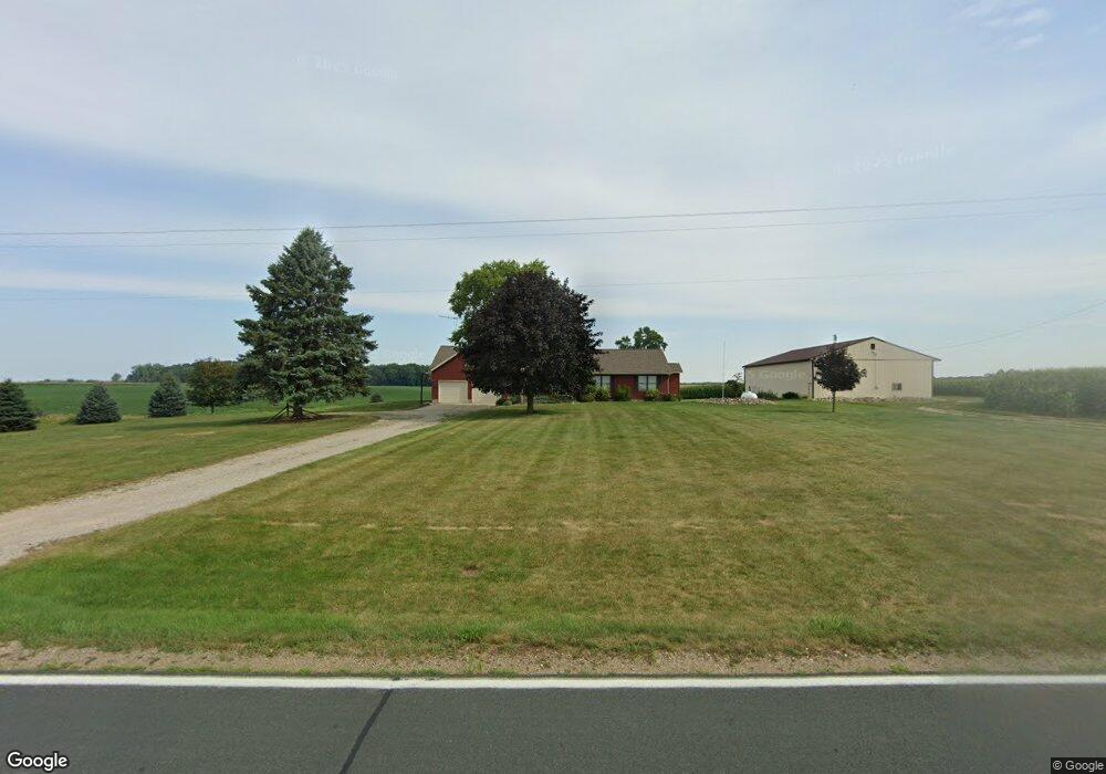
10264 W Price Rd Fowler, MI 48835
Estimated Value: $309,000 - $386,000
3
Beds
3
Baths
1,760
Sq Ft
$197/Sq Ft
Est. Value
About This Home
This home is located at 10264 W Price Rd, Fowler, MI 48835 and is currently estimated at $346,278, approximately $196 per square foot. 10264 W Price Rd is a home located in Clinton County with nearby schools including Pewamo-Westphalia Elementary School, Pewamo-Westphalia Junior/Senior High School, and St Mary's School.
Ownership History
Date
Name
Owned For
Owner Type
Purchase Details
Closed on
Jul 17, 2024
Sold by
Thelen Timothy G and Thelen Constance M
Bought by
Thelen Timothy G and Thelen Constance M
Current Estimated Value
Create a Home Valuation Report for This Property
The Home Valuation Report is an in-depth analysis detailing your home's value as well as a comparison with similar homes in the area
Home Values in the Area
Average Home Value in this Area
Purchase History
| Date | Buyer | Sale Price | Title Company |
|---|---|---|---|
| Thelen Timothy G | -- | None Listed On Document | |
| Thelen Timothy G | -- | None Listed On Document | |
| Timothy G And Constance M Thelen Living Trust | -- | None Listed On Document |
Source: Public Records
Tax History Compared to Growth
Tax History
| Year | Tax Paid | Tax Assessment Tax Assessment Total Assessment is a certain percentage of the fair market value that is determined by local assessors to be the total taxable value of land and additions on the property. | Land | Improvement |
|---|---|---|---|---|
| 2025 | $2,697 | $149,500 | $20,600 | $128,900 |
| 2024 | $1,145 | $142,400 | $19,800 | $122,600 |
| 2023 | $1,084 | $128,400 | $0 | $0 |
| 2022 | $2,379 | $123,500 | $19,200 | $104,300 |
| 2021 | $2,307 | $112,800 | $16,300 | $96,500 |
| 2020 | $2,076 | $103,300 | $14,700 | $88,600 |
| 2019 | $1,157 | $97,700 | $12,800 | $84,900 |
| 2018 | $2,080 | $88,600 | $11,800 | $76,800 |
| 2017 | -- | $92,700 | $12,800 | $79,900 |
| 2016 | -- | $89,800 | $11,800 | $78,000 |
| 2015 | -- | $84,700 | $0 | $0 |
| 2011 | -- | $85,600 | $0 | $0 |
Source: Public Records
Map
Nearby Homes
- 11191 W Chadwick Rd
- 7880 S Lowell Rd
- V/L W M21
- 11138 W 2nd St
- 11255 W Wayne St
- 11040 W Ionia St
- 10911 E Kent St
- 11471 S Bauer Rd
- 10349 S Francis Rd
- 10880 S Francis Rd
- Lot 8 N Wright Rd
- 982 Norway Dr
- 11433 S Francis Rd
- 11877 W Herbison Rd
- 11781 W Herbison Rd
- 7895 W Herbison Rd
- 0 Mountainmint Cir Unit 287877
- 0 Yates St
- 4383 W Cutler Rd
- 10600 S Airport Rd
- 10400 W Price Rd
- 5780 S Bauer Rd
- 6122 S Bauer Rd
- 10565 W Price Rd
- 5801 S Bauer Rd
- 5754 S Bauer Rd
- 9863 W Price Rd
- 10600 W Price Rd
- 9676 W Price Rd
- 10960 W Price Rd
- 5437 S Bauer Rd
- 9555 W Price Rd
- 11045 W Price Rd
- 6663 S Bauer Rd
- 0 S Wright Rd Unit 48078
- 6449 S Wright Rd
- 6448 S Wright Rd
- 5465 S Wright Rd
- 11140 W Price Rd
- 5112 S Bauer Rd