10265 Tuscany Dr Plain City, OH 43064
Estimated Value: $634,000 - $758,000
--
Bed
--
Bath
3,159
Sq Ft
$217/Sq Ft
Est. Value
About This Home
This home is located at 10265 Tuscany Dr, Plain City, OH 43064 and is currently estimated at $686,008, approximately $217 per square foot. 10265 Tuscany Dr is a home with nearby schools including Plain City Elementary School, Jonathan Alder Junior High School, and Canaan Middle School.
Ownership History
Date
Name
Owned For
Owner Type
Purchase Details
Closed on
Nov 22, 2010
Sold by
Evergreen Land Company
Bought by
Tyson William H and Tyson Karin
Current Estimated Value
Home Financials for this Owner
Home Financials are based on the most recent Mortgage that was taken out on this home.
Original Mortgage
$279,000
Interest Rate
4.17%
Mortgage Type
New Conventional
Create a Home Valuation Report for This Property
The Home Valuation Report is an in-depth analysis detailing your home's value as well as a comparison with similar homes in the area
Home Values in the Area
Average Home Value in this Area
Purchase History
| Date | Buyer | Sale Price | Title Company |
|---|---|---|---|
| Tyson William H | $58,000 | Attorney |
Source: Public Records
Mortgage History
| Date | Status | Borrower | Loan Amount |
|---|---|---|---|
| Previous Owner | Tyson William H | $279,000 |
Source: Public Records
Tax History Compared to Growth
Tax History
| Year | Tax Paid | Tax Assessment Tax Assessment Total Assessment is a certain percentage of the fair market value that is determined by local assessors to be the total taxable value of land and additions on the property. | Land | Improvement |
|---|---|---|---|---|
| 2024 | $7,555 | $189,690 | $34,630 | $155,060 |
| 2023 | $7,555 | $189,690 | $34,630 | $155,060 |
| 2022 | $7,702 | $189,690 | $34,630 | $155,060 |
| 2021 | $7,065 | $163,310 | $26,630 | $136,680 |
| 2020 | $6,702 | $163,310 | $26,630 | $136,680 |
| 2019 | $6,720 | $163,310 | $26,630 | $136,680 |
| 2018 | $6,637 | $158,560 | $21,320 | $137,240 |
| 2017 | $6,631 | $158,560 | $21,320 | $137,240 |
| 2016 | $6,652 | $157,720 | $21,320 | $136,400 |
| 2015 | $5,914 | $134,060 | $20,480 | $113,580 |
| 2014 | $5,914 | $134,060 | $20,480 | $113,580 |
| 2013 | $5,974 | $134,060 | $20,480 | $113,580 |
Source: Public Records
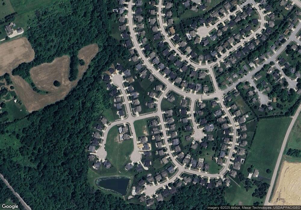
Map
Nearby Homes
- 10205 Coronado Ct
- 10119 Biscayne Ct
- 9530 Mission Dr
- 9617 New California Dr
- 11033 Sacramento Ct
- 9755 Fresno Ct
- 10589 Laguna Cir
- 10700 Laguna Cir
- 9601 Bur Oak Dr Unit Lot 148
- 9602 Bur Oak Dr Unit Lot 119
- 9561 Bur Oak Dr Unit Lot 152
- Newberry Plan at Pioneer Crossing
- Continental Plan at Pioneer Crossing
- Mercer Plan at Pioneer Crossing
- Linwood Plan at Pioneer Crossing
- Bedford Plan at Pioneer Crossing
- Alcott Plan at Pioneer Crossing
- Countryview Plan at Pioneer Crossing
- 10260 Carmel Dr
- 9288 Horseshoe St
- 10112 Pomona Ct
- 10168 Coronado Ct
- 10255 Tuscany Dr
- 10174 Coronado Ct
- 10285 Tuscany Dr
- 10260 Tuscany Dr
- 10280 Tuscany Dr
- 10250 Tuscany Dr
- 11295 Santa Barbara Dr
- 10182 Coronado Ct
- 10240 Tuscany Dr
- 10070 Sonoma Ct
- 11305 Santa Barbara Dr
- 10165 Coronado Ct
- 11280 Santa Barbara Dr
- 11255 Santa Barbara Dr
- 10235 Tuscany Dr
- 10186 Coronado Ct
- 10177 Coronado Ct
- 10138 Biscayne Ct