Estimated Value: $281,834 - $303,000
3
Beds
2
Baths
1,385
Sq Ft
$208/Sq Ft
Est. Value
About This Home
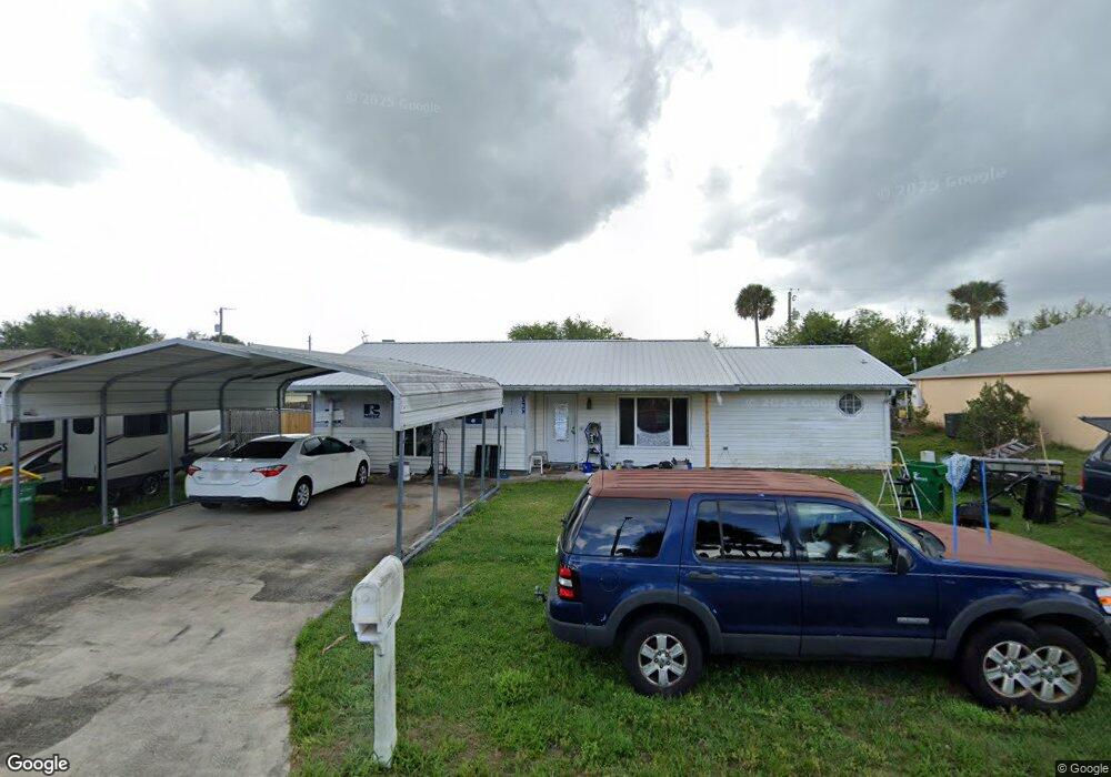
This home is located at 1027 Albin St, Cocoa, FL 32927 and is currently estimated at $287,959, approximately $207 per square foot. 1027 Albin St is a home located in Brevard County with nearby schools including Atlantis Elementary School, Space Coast Junior/Senior High School, and East Atlantic Prep of Brevard County.
Ownership History
Date
Name
Owned For
Owner Type
Purchase Details
Closed on
Jul 31, 2002
Sold by
Meyer Theodore E and Meyer Monica M
Bought by
Meyer Theodore E and Meyer Monica M
Current Estimated Value
Purchase Details
Closed on
Jul 15, 1996
Sold by
Cooper Charles H and Cooper Jennifer L
Bought by
Meyer Theodore E
Home Financials for this Owner
Home Financials are based on the most recent Mortgage that was taken out on this home.
Original Mortgage
$57,165
Interest Rate
7.99%
Create a Home Valuation Report for This Property
The Home Valuation Report is an in-depth analysis detailing your home's value as well as a comparison with similar homes in the area
Home Values in the Area
Average Home Value in this Area
Purchase History
| Date | Buyer | Sale Price | Title Company |
|---|---|---|---|
| Meyer Theodore E | $26,300 | -- | |
| Meyer Theodore E | $55,500 | -- |
Source: Public Records
Mortgage History
| Date | Status | Borrower | Loan Amount |
|---|---|---|---|
| Previous Owner | Meyer Theodore E | $57,165 |
Source: Public Records
Tax History
| Year | Tax Paid | Tax Assessment Tax Assessment Total Assessment is a certain percentage of the fair market value that is determined by local assessors to be the total taxable value of land and additions on the property. | Land | Improvement |
|---|---|---|---|---|
| 2025 | $1,001 | $73,480 | -- | -- |
| 2024 | $982 | $68,920 | -- | -- |
| 2023 | $982 | $66,920 | $0 | $0 |
| 2022 | $930 | $64,980 | $0 | $0 |
| 2021 | $931 | $63,090 | $0 | $0 |
| 2020 | $885 | $62,220 | $0 | $0 |
| 2019 | $833 | $60,830 | $0 | $0 |
| 2018 | $834 | $59,700 | $0 | $0 |
| 2017 | $834 | $58,480 | $0 | $0 |
| 2016 | $840 | $57,280 | $18,000 | $39,280 |
| 2015 | $846 | $56,890 | $15,000 | $41,890 |
| 2014 | $850 | $56,440 | $11,000 | $45,440 |
Source: Public Records
Map
Nearby Homes
- 645 Altura Dr
- 1050 Barclay Dr
- 1040 Jersey St
- 933 Fay Blvd
- 780 Alcazar Ave
- 6800 N Highway 1 Unit 4202
- 6760 N Highway 1 Unit 3204
- 520 Arabella Ln
- 961 Kaufman St
- 7000 N Highway 1 Unit Gg-205
- 7020 U S 1 Unit Ee-202
- 1131 Covina St
- 6900 N Highway 1 Unit 6307
- 6900 N Highway 1 Unit 6303
- 977 Poinsetta St
- 1164 Aron St
- 7030 N Highway 1 Unit 101
- 7030 N Highway 1 Unit DD102
- 973 Poinsetta St
- 414 Oakridge Ave
Your Personal Tour Guide
Ask me questions while you tour the home.