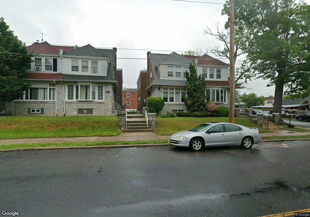
1027 Bridge St Philadelphia, PA 19124
Frankford NeighborhoodEstimated Value: $265,000 - $336,000
4
Beds
1
Bath
1,896
Sq Ft
$157/Sq Ft
Est. Value
About This Home
This home is located at 1027 Bridge St, Philadelphia, PA 19124 and is currently estimated at $298,181, approximately $157 per square foot. 1027 Bridge St is a home with nearby schools including Frankford High School, The Philadelphia Charter School for the Arts & Sciences, and Mastery Schools Smedley Elementary.
Ownership History
Date
Name
Owned For
Owner Type
Purchase Details
Closed on
Apr 5, 2004
Sold by
Broughton Gary and Broughton Lorraine
Bought by
Broughton Gary and Broughton Lorraine
Current Estimated Value
Home Financials for this Owner
Home Financials are based on the most recent Mortgage that was taken out on this home.
Original Mortgage
$116,000
Interest Rate
5.75%
Mortgage Type
New Conventional
Purchase Details
Closed on
Jul 30, 1998
Sold by
Ingham James S and Poole Ingham Karin A
Bought by
Broughton Gary and Pearson Lorraine
Create a Home Valuation Report for This Property
The Home Valuation Report is an in-depth analysis detailing your home's value as well as a comparison with similar homes in the area
Home Values in the Area
Average Home Value in this Area
Purchase History
| Date | Buyer | Sale Price | Title Company |
|---|---|---|---|
| Broughton Gary | -- | -- | |
| Broughton Gary | $88,900 | Lawyers Title Insurance Co |
Source: Public Records
Mortgage History
| Date | Status | Borrower | Loan Amount |
|---|---|---|---|
| Closed | Broughton Gary | $116,000 |
Source: Public Records
Tax History Compared to Growth
Tax History
| Year | Tax Paid | Tax Assessment Tax Assessment Total Assessment is a certain percentage of the fair market value that is determined by local assessors to be the total taxable value of land and additions on the property. | Land | Improvement |
|---|---|---|---|---|
| 2026 | $3,225 | $275,300 | $55,060 | $220,240 |
| 2025 | $3,225 | $275,300 | $55,060 | $220,240 |
| 2024 | $3,225 | $275,300 | $55,060 | $220,240 |
| 2023 | $3,225 | $230,400 | $46,080 | $184,320 |
| 2022 | $1,863 | $185,400 | $46,080 | $139,320 |
| 2021 | $2,493 | $0 | $0 | $0 |
| 2020 | $2,493 | $0 | $0 | $0 |
| 2019 | $2,392 | $0 | $0 | $0 |
| 2018 | $1,788 | $0 | $0 | $0 |
| 2017 | $2,207 | $0 | $0 | $0 |
| 2016 | $1,788 | $0 | $0 | $0 |
| 2015 | $1,711 | $0 | $0 | $0 |
| 2014 | -- | $157,700 | $36,250 | $121,450 |
| 2012 | -- | $19,424 | $3,103 | $16,321 |
Source: Public Records
Map
Nearby Homes
- 1048 Bridge St
- 5659 Miriam Rd
- 5661 Miriam Rd
- 1137 Bridge St
- 5640 Miriam Rd
- 996 Anchor St
- 991 Carver St
- 972 Bridge St
- 1204 Pratt St
- 5505 Loretto Ave
- 1218 Pratt St
- 1431 Rosalie St
- 5347 Sylvester St
- 1220 Pratt St
- 934 Brill St
- 1244 E Sanger St
- 934 E Sanger St
- 1225 E Cheltenham Ave
- 1211 E Cheltenham Ave
- 5902 E Roosevelt Blvd
- 1029 Bridge St
- 1025 Bridge St
- 1023 Bridge St
- 1021 Bridge St
- 5308 Rutland St
- 1019 Bridge St
- 5304 Oxford Ave
- 1040 Bridge St
- 1017 Bridge St
- 5312 Rutland St
- 1015 Bridge St
- 1046 Bridge St
- 5314 Rutland St
- 1038 Bridge St
- 5316 Rutland St
- 1050 Bridge St
- 1032 Bridge St
- 5309 Castor Ave
- 5307 Castor Ave
- 5303 Castor Ave