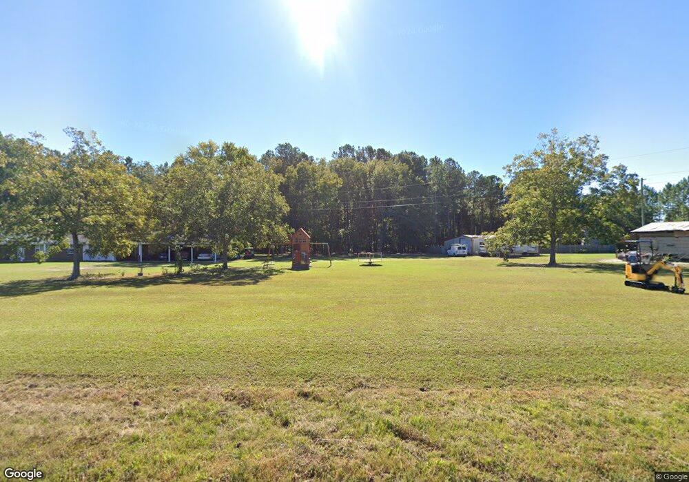
1027 Broxton Hwy Hazlehurst, GA 31539
Estimated Value: $202,373 - $266,000
3
Beds
4
Baths
1,456
Sq Ft
$152/Sq Ft
Est. Value
About This Home
This home is located at 1027 Broxton Hwy, Hazlehurst, GA 31539 and is currently estimated at $221,093, approximately $151 per square foot. 1027 Broxton Hwy is a home located in Jeff Davis County with nearby schools including Jeff Davis Primary School, Jeff Davis Elementary School, and Jeff Davis Middle School.
Ownership History
Date
Name
Owned For
Owner Type
Purchase Details
Closed on
Oct 19, 2017
Sold by
Carter Wilbur E
Bought by
Carter David Allen
Current Estimated Value
Purchase Details
Closed on
Sep 16, 2004
Sold by
Kersey Brenda Carter and Kersey Wilbur
Bought by
Wilbur E Carter
Purchase Details
Closed on
Dec 16, 2002
Sold by
Carter Mary Ella and Carter David
Bought by
Kersey Brenda Carter and Kersey Wilbur E
Purchase Details
Closed on
Jan 1, 1968
Bought by
Carter Mary Ella and Carter David
Purchase Details
Closed on
Jan 1, 1966
Bought by
Carter Mary Ella and Carter David
Create a Home Valuation Report for This Property
The Home Valuation Report is an in-depth analysis detailing your home's value as well as a comparison with similar homes in the area
Home Values in the Area
Average Home Value in this Area
Purchase History
| Date | Buyer | Sale Price | Title Company |
|---|---|---|---|
| Carter David Allen | -- | -- | |
| Wilbur E Carter | -- | -- | |
| Kersey Brenda Carter | -- | -- | |
| Carter Mary Ella | -- | -- | |
| Carter Mary Ella | -- | -- |
Source: Public Records
Tax History Compared to Growth
Tax History
| Year | Tax Paid | Tax Assessment Tax Assessment Total Assessment is a certain percentage of the fair market value that is determined by local assessors to be the total taxable value of land and additions on the property. | Land | Improvement |
|---|---|---|---|---|
| 2024 | $2,234 | $78,044 | $6,720 | $71,324 |
| 2023 | $757 | $27,759 | $3,888 | $23,871 |
| 2022 | $757 | $27,759 | $3,888 | $23,871 |
| 2021 | $757 | $27,759 | $3,888 | $23,871 |
| 2020 | $819 | $27,870 | $3,888 | $23,982 |
| 2019 | $760 | $27,870 | $3,888 | $23,982 |
| 2018 | $819 | $27,870 | $3,888 | $23,982 |
| 2017 | $812 | $30,133 | $3,888 | $26,245 |
| 2016 | $798 | $30,133 | $3,888 | $26,245 |
| 2015 | -- | $30,133 | $3,888 | $26,245 |
| 2014 | -- | $30,073 | $3,888 | $26,185 |
Source: Public Records
Map
Nearby Homes
- 1045 Broxton Hwy
- 1071 Broxton Hwy
- 1076 Broxton Hwy
- 120 John Colson Rd
- 116 McLoon Rd
- 120 McLoon Rd
- 223 John Osborn Ln
- 224 John Osborn Ln
- 224 John Osborn Ln
- 214 John Osborn Ln
- 1138 Broxton Hwy
- 204 John Osborn Ln
- 147 McLoon Rd
- 1164 Broxton Hwy
- 179 John Osborn Ln
- 1183 Broxton Hwy
- 179 McLoon Rd
- 169 John Osborn Ln
- 112 Preston Long Rd
- 824 Broxton Hwy
