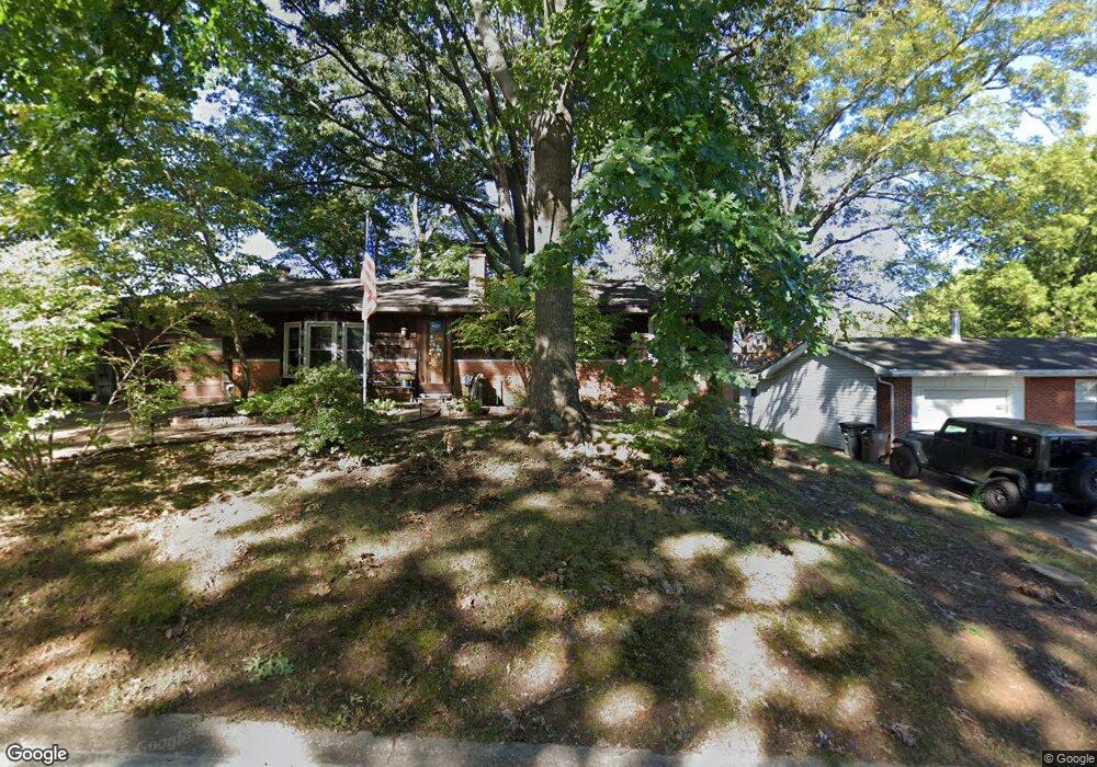
1027 Caufield Dr Cape Girardeau, MO 63701
Estimated Value: $178,180 - $196,000
3
Beds
2
Baths
1,161
Sq Ft
$160/Sq Ft
Est. Value
About This Home
This home is located at 1027 Caufield Dr, Cape Girardeau, MO 63701 and is currently estimated at $185,545, approximately $159 per square foot. 1027 Caufield Dr is a home with nearby schools including Clippard Elementary School, Central Middle School, and Central Junior High School.
Ownership History
Date
Name
Owned For
Owner Type
Purchase Details
Closed on
Oct 19, 2020
Sold by
Hargis Stanley D and Hargis Tammy L
Bought by
Worley Christian
Current Estimated Value
Home Financials for this Owner
Home Financials are based on the most recent Mortgage that was taken out on this home.
Original Mortgage
$112,050
Outstanding Balance
$99,663
Interest Rate
2.9%
Mortgage Type
New Conventional
Estimated Equity
$85,883
Purchase Details
Closed on
Feb 15, 2018
Sold by
Phillips Lucille M and Philips Robert Ray
Bought by
Philips Allen W
Create a Home Valuation Report for This Property
The Home Valuation Report is an in-depth analysis detailing your home's value as well as a comparison with similar homes in the area
Home Values in the Area
Average Home Value in this Area
Purchase History
| Date | Buyer | Sale Price | Title Company |
|---|---|---|---|
| Worley Christian | -- | None Available | |
| Philips Allen W | -- | -- |
Source: Public Records
Mortgage History
| Date | Status | Borrower | Loan Amount |
|---|---|---|---|
| Open | Worley Christian | $112,050 |
Source: Public Records
Tax History Compared to Growth
Tax History
| Year | Tax Paid | Tax Assessment Tax Assessment Total Assessment is a certain percentage of the fair market value that is determined by local assessors to be the total taxable value of land and additions on the property. | Land | Improvement |
|---|---|---|---|---|
| 2025 | $10 | $19,450 | $1,670 | $17,780 |
| 2024 | $10 | $18,520 | $1,590 | $16,930 |
| 2023 | $963 | $18,520 | $1,590 | $16,930 |
| 2022 | $888 | $17,070 | $1,470 | $15,600 |
| 2021 | $888 | $17,070 | $1,470 | $15,600 |
| 2020 | $890 | $17,070 | $1,470 | $15,600 |
| 2019 | $889 | $17,070 | $0 | $0 |
| 2018 | $887 | $17,070 | $0 | $0 |
| 2017 | $889 | $17,070 | $0 | $0 |
| 2016 | $886 | $17,070 | $0 | $0 |
| 2015 | $886 | $17,070 | $0 | $0 |
| 2014 | $891 | $17,070 | $0 | $0 |
Source: Public Records
Map
Nearby Homes
- 835 Lochinvar Ln
- 1070 Dorothy St
- 1107 Dorothy St
- 1246 Marilyn Dr
- 2629 Hopper Rd
- 1000 N Mount Auburn Rd
- 769 Cedar Ln
- 3269 Hopper Rd
- 2615 Maria Louise Ln
- 2550 Marvin St
- 2449 Janet Dr
- 3022 Wisteria Dr
- 2416 Terrie Hill Rd
- 3014 Keystone Dr
- 3027 Wisteria Dr
- 3036 Keystone Dr
- 2412 Masters Dr
- 3002 Melrose Ave
- 901 Pheasant Cove Dr
- 1701 Brookwood Dr
- 1029 Caufield Dr
- 1025 Caufield Dr
- 1024 Caufield Dr
- 1060 Dorothy St
- 1058 Dorothy St
- 1031 Caufield Dr
- 1062 Dorothy St
- 1028 Caufield Dr
- 3821 Silverton Cir
- 3828 Silverton Cir
- 983 Rifle Dr
- 3820 Silverton Cir
- 975 Rifle Dr
- 995 Rifle Dr
- 2745 Caufield Dr
- 1056 Dorothy St
- 1064 Dorothy St
- 1033 W Mount Dr
- 1032 Caufield Dr
- 1031 W Mount Dr