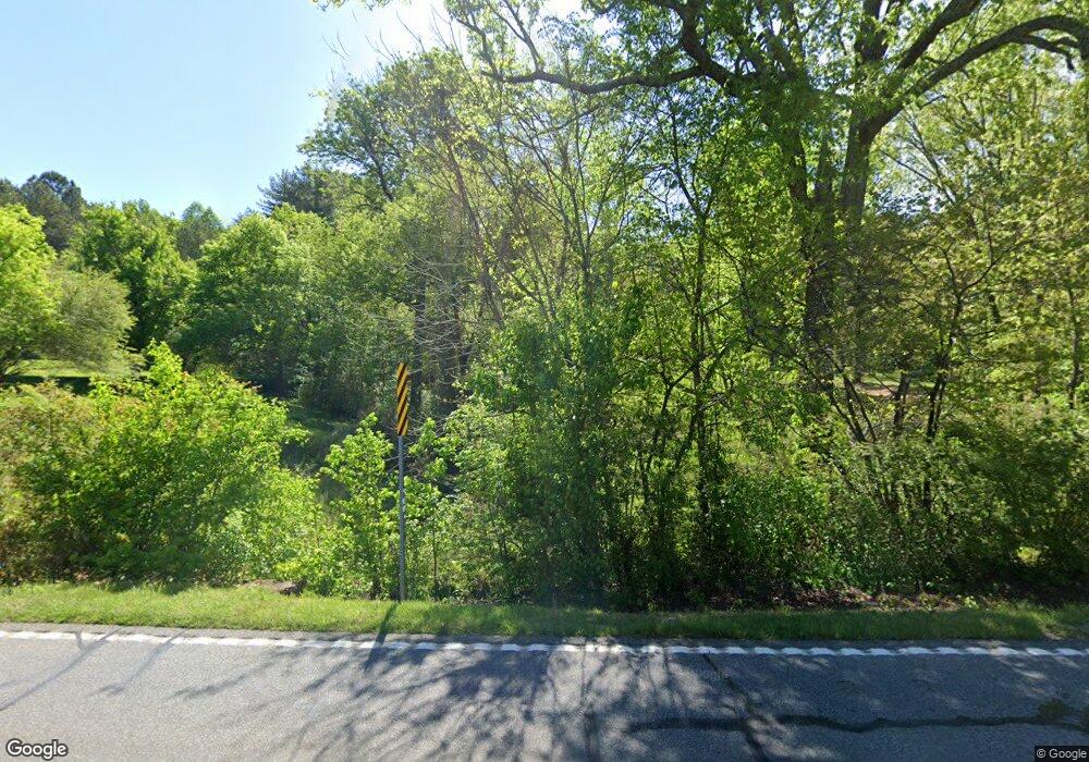
1027 Highway 151 La Fayette, GA 30728
Estimated Value: $152,000 - $196,650
--
Bed
2
Baths
2,343
Sq Ft
$74/Sq Ft
Est. Value
About This Home
This home is located at 1027 Highway 151, La Fayette, GA 30728 and is currently estimated at $174,163, approximately $74 per square foot. 1027 Highway 151 is a home located in Walker County with nearby schools including Rock Spring Elementary School and Lafayette High School.
Ownership History
Date
Name
Owned For
Owner Type
Purchase Details
Closed on
Sep 19, 2024
Sold by
Dills Kenneth Larry
Bought by
Campbell Sterling and Ploof Casey Elaine
Current Estimated Value
Home Financials for this Owner
Home Financials are based on the most recent Mortgage that was taken out on this home.
Original Mortgage
$99,999
Outstanding Balance
$98,873
Interest Rate
6.46%
Mortgage Type
New Conventional
Estimated Equity
$75,290
Purchase Details
Closed on
Jan 7, 1994
Sold by
Chapman Roger and Chapman Wf
Bought by
Dills Kenneth Larry
Purchase Details
Closed on
Mar 12, 1975
Bought by
Chapman Roger and Chapman Wf
Create a Home Valuation Report for This Property
The Home Valuation Report is an in-depth analysis detailing your home's value as well as a comparison with similar homes in the area
Home Values in the Area
Average Home Value in this Area
Purchase History
| Date | Buyer | Sale Price | Title Company |
|---|---|---|---|
| Campbell Sterling | $154,999 | -- | |
| Dills Kenneth Larry | $95,000 | -- | |
| Chapman Roger | $2,000 | -- |
Source: Public Records
Mortgage History
| Date | Status | Borrower | Loan Amount |
|---|---|---|---|
| Open | Campbell Sterling | $99,999 |
Source: Public Records
Tax History Compared to Growth
Tax History
| Year | Tax Paid | Tax Assessment Tax Assessment Total Assessment is a certain percentage of the fair market value that is determined by local assessors to be the total taxable value of land and additions on the property. | Land | Improvement |
|---|---|---|---|---|
| 2024 | $551 | $74,883 | $14,000 | $60,883 |
| 2023 | $503 | $71,702 | $14,000 | $57,702 |
| 2022 | $288 | $63,302 | $14,000 | $49,302 |
| 2021 | $234 | $53,917 | $14,000 | $39,917 |
| 2020 | $234 | $47,818 | $14,000 | $33,818 |
| 2019 | $1,254 | $45,306 | $14,000 | $31,306 |
| 2018 | $1,199 | $45,306 | $14,000 | $31,306 |
| 2017 | $1,386 | $45,306 | $14,000 | $31,306 |
| 2016 | $1,391 | $70,123 | $19,342 | $50,781 |
| 2015 | $1,457 | $59,080 | $16,824 | $42,256 |
| 2014 | $1,366 | $59,080 | $16,824 | $42,256 |
| 2013 | -- | $59,080 | $16,824 | $42,256 |
Source: Public Records
Map
Nearby Homes
- 1052 Huffman Rd
- 0 Alabama Hwy Unit 1520958
- 0 Alabama Hwy Unit 21222630
- 0 Alabama Hwy Unit TRACT 3 10244950
- Old Alabama Hwy Ga-151
- 3255 Colbert Hollow Rd
- 7606 Highway 95
- 134 Farm View Cir
- 200 Cattail Dr
- 201 Van Dell Dr
- 72 Brutis Dr
- 533 Van Dell Dr
- 4934 N Jimmy Dr
- 6280 Georgia 151
- 0 Temperance Hall Rd Unit 10506446
- 0 Temperance Hall Rd Unit 1510568
- 1282 Temperance Hall Rd
- 4177 S Jimmy Dr
- 0 Colbert Hollow Rd Unit 1513202
- 265 Rodeo Dr
- 967 Highway 151
- 916 Highway 151
- 865 Highway 151
- 1060 Highway 151
- 1363 Highway 151
- 872 Highway 151
- 193 Chapman Rd
- 184 Chapman Rd
- 184 Chapman Rd
- 0 Chapman Rd Unit 8225741
- 279 Chapman Ct
- 256 Chapman Rd
- 1617 Highway 151
- 1617 Hwy 151
- 279 Chapman Rd
- 568 Highway 151
- 568 Hwy 151
- 494 Highway 151
- 494 Hwy 151
- 318 Chapman Rd
