1027 Indian Dr Auburn, PA 17922
Estimated Value: $360,068 - $439,000
3
Beds
3
Baths
2,310
Sq Ft
$178/Sq Ft
Est. Value
About This Home
This home is located at 1027 Indian Dr, Auburn, PA 17922 and is currently estimated at $411,267, approximately $178 per square foot. 1027 Indian Dr is a home located in Schuylkill County with nearby schools including Blue Mountain High School.
Ownership History
Date
Name
Owned For
Owner Type
Purchase Details
Closed on
Oct 28, 2025
Sold by
Moser Jeffrey and Moser Catherine
Bought by
Moser Jeffrey and Moser Catherine
Current Estimated Value
Purchase Details
Closed on
Jul 10, 2025
Sold by
Ultra Llc
Bought by
Moser Jeffrey and Moser Catherine
Purchase Details
Closed on
Jan 16, 2025
Sold by
Greystone Structures Llc
Bought by
Ultra Llc
Purchase Details
Closed on
Apr 12, 2024
Sold by
Dellock Michael D and Bentley Timothy M
Bought by
Greystone Structures Llc
Purchase Details
Closed on
Sep 15, 2005
Sold by
Lnt Properites Lp
Bought by
Dellock Michael D and Dellock Cindy K
Create a Home Valuation Report for This Property
The Home Valuation Report is an in-depth analysis detailing your home's value as well as a comparison with similar homes in the area
Home Values in the Area
Average Home Value in this Area
Purchase History
| Date | Buyer | Sale Price | Title Company |
|---|---|---|---|
| Moser Jeffrey | -- | None Listed On Document | |
| Moser Jeffrey | $419,000 | Homesale Settlement Services | |
| Moser Jeffrey | $419,000 | Homesale Settlement Services | |
| Ultra Llc | $138,000 | Anthracite Abstract | |
| Ultra Llc | $138,000 | Anthracite Abstract | |
| Greystone Structures Llc | $50,000 | None Listed On Document | |
| Dellock Michael D | $9,950 | None Available |
Source: Public Records
Tax History Compared to Growth
Tax History
| Year | Tax Paid | Tax Assessment Tax Assessment Total Assessment is a certain percentage of the fair market value that is determined by local assessors to be the total taxable value of land and additions on the property. | Land | Improvement |
|---|---|---|---|---|
| 2025 | $2,828 | $44,225 | $8,710 | $35,515 |
| 2024 | $2,618 | $44,225 | $8,710 | $35,515 |
| 2023 | $4,721 | $79,740 | $8,710 | $71,030 |
| 2022 | $4,721 | $79,740 | $8,710 | $71,030 |
| 2021 | $4,644 | $79,740 | $8,710 | $71,030 |
| 2020 | $4,496 | $79,740 | $8,710 | $71,030 |
| 2018 | $4,325 | $79,740 | $8,710 | $71,030 |
| 2017 | $4,245 | $79,740 | $8,710 | $71,030 |
| 2015 | -- | $79,740 | $8,710 | $71,030 |
| 2011 | -- | $79,740 | $0 | $0 |
Source: Public Records
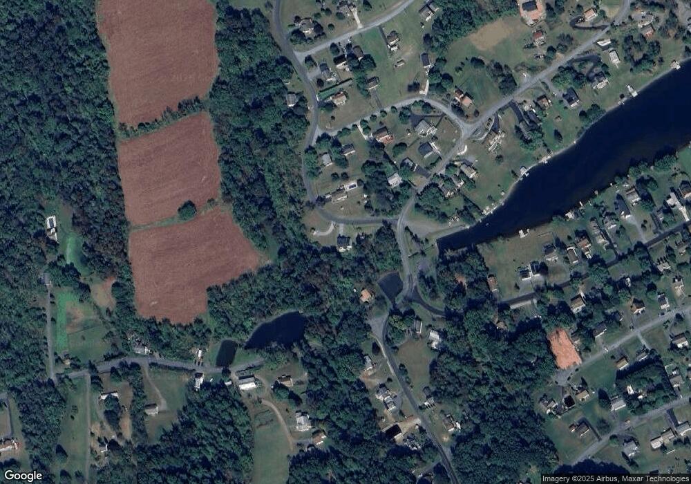
Map
Nearby Homes
- 430 Mohave Dr
- 238 Mohave Dr
- 981 Horseman Dr
- 988 Horseman Dr
- 174 Totem Dr
- 174 & 175 Totem Dr
- 141 Navajo Dr
- 0 S Route 183 Unit PASK130762
- 288 Hogan Dr
- 287 Hogan Dr
- 906 Wynonah Dr
- 383 Tomahawk Dr
- 1178 Custer Dr
- 2522 Papoose Dr
- 0 Cherokee Dr
- 7 N Oak Ln
- 1482 Bearcat Cove
- 30 Meadow Brook Dr
- 614 Wynonah Dr
- 1489 Bearcat Cove
- 433 Mohave Dr
- 586 Indian Dr
- 583 Wynonah Dr
- 575 Indian Dr
- 576 Yellow Pine Dr
- 435 Mohave Dr
- 577 Yellow Pine Dr
- 582 Wynonah Dr
- 841 Wynonah Dr
- 443 Wynonah Dr
- 842 Wynonah Dr
- 581 Wynonah Dr
- 56 Plum Creek Rd
- 447 Wynonah Dr
- 843 Wynonah Dr
- 428 Mohave Dr
- 1038/39 Indian Dr
- 1038-1039 Indian Dr
- 977 Yellow Pine Dr
- 580 Yellow Pine Dr