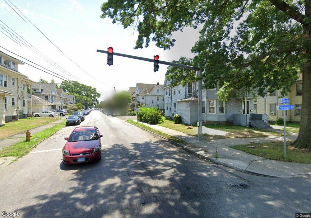
1027 Norman St Unit 1029 Bridgeport, CT 06604
West End-West Side NeighborhoodEstimated Value: $352,000 - $549,000
6
Beds
2
Baths
2,981
Sq Ft
$159/Sq Ft
Est. Value
About This Home
This home is located at 1027 Norman St Unit 1029, Bridgeport, CT 06604 and is currently estimated at $472,845, approximately $158 per square foot. 1027 Norman St Unit 1029 is a home located in Fairfield County with nearby schools including Cesar Batalla School, Bassick High School, and Catholic Academy of Bridgeport-St. Raphael Academy.
Ownership History
Date
Name
Owned For
Owner Type
Purchase Details
Closed on
Apr 25, 2013
Sold by
1244 Residence T
Bought by
Mendez Jose
Current Estimated Value
Purchase Details
Closed on
Nov 17, 1997
Sold by
Barreira Elza M
Bought by
Johnson Michael A and Johnson Meryl
Home Financials for this Owner
Home Financials are based on the most recent Mortgage that was taken out on this home.
Original Mortgage
$65,700
Interest Rate
7.23%
Mortgage Type
Unknown
Create a Home Valuation Report for This Property
The Home Valuation Report is an in-depth analysis detailing your home's value as well as a comparison with similar homes in the area
Home Values in the Area
Average Home Value in this Area
Purchase History
| Date | Buyer | Sale Price | Title Company |
|---|---|---|---|
| Mendez Jose | $160,000 | -- | |
| Mendez Jose | $160,000 | -- | |
| Johnson Michael A | $73,000 | -- | |
| Johnson Michael A | $73,000 | -- |
Source: Public Records
Mortgage History
| Date | Status | Borrower | Loan Amount |
|---|---|---|---|
| Open | Johnson Michael A | $107,100 | |
| Previous Owner | Johnson Michael A | $116,250 | |
| Previous Owner | Johnson Michael A | $65,700 |
Source: Public Records
Tax History Compared to Growth
Tax History
| Year | Tax Paid | Tax Assessment Tax Assessment Total Assessment is a certain percentage of the fair market value that is determined by local assessors to be the total taxable value of land and additions on the property. | Land | Improvement |
|---|---|---|---|---|
| 2025 | $8,083 | $186,040 | $50,600 | $135,440 |
| 2024 | $8,083 | $186,040 | $50,600 | $135,440 |
| 2023 | $8,083 | $186,040 | $50,600 | $135,440 |
| 2022 | $8,083 | $186,040 | $50,600 | $135,440 |
| 2021 | $8,083 | $186,040 | $50,600 | $135,440 |
| 2020 | $7,225 | $133,830 | $30,660 | $103,170 |
| 2019 | $7,225 | $133,830 | $30,660 | $103,170 |
| 2018 | $7,276 | $133,830 | $30,660 | $103,170 |
| 2017 | $7,276 | $133,830 | $30,660 | $103,170 |
| 2016 | $7,276 | $133,830 | $30,660 | $103,170 |
| 2015 | $7,498 | $177,680 | $46,370 | $131,310 |
| 2014 | $7,498 | $177,680 | $46,370 | $131,310 |
Source: Public Records
Map
Nearby Homes
- 566 Wood Ave
- 687 Wood Ave
- 414 Wood Ave
- 184 Pacific St
- 700 Laurel Ave
- 697 Laurel Ave
- 100 Lorraine St
- 1373 Iranistan Ave
- 60 Olive St
- 125 E Eaton St
- 309 Pequonnock St
- 592 Norman St Unit 594
- 665 W Taft Ave
- 2370 North Ave Unit 4C
- 2370 North Ave Unit 12G
- 2370 North Ave Unit 3F
- 393 Laurel Ave Unit 203
- 393 Laurel Ave Unit 415
- 1199 Iranistan Ave Unit 1201
- 533 Clinton Ave
- 1021 Norman St Unit 1023
- 1013 Norman St
- 1911 North Ave
- 1020 Norman St Unit 1022
- 1005 Norman St
- 1905 North Ave Unit 1907
- 1939 North Ave Unit 1943
- 1018 Norman St Unit 3
- 1018 Norman St
- 1006 Norman St Unit 1008
- 1929 North Ave
- 1016 Norman St Unit 1018
- 1016 Norman St Unit 1
- 1921 North Ave Unit 1st flr
- 1000 Norman St Unit 1002
- 136 Beechwood Ave
- 1002 Norman St
- 1865 North Ave
- 1906 North Ave Unit 1908