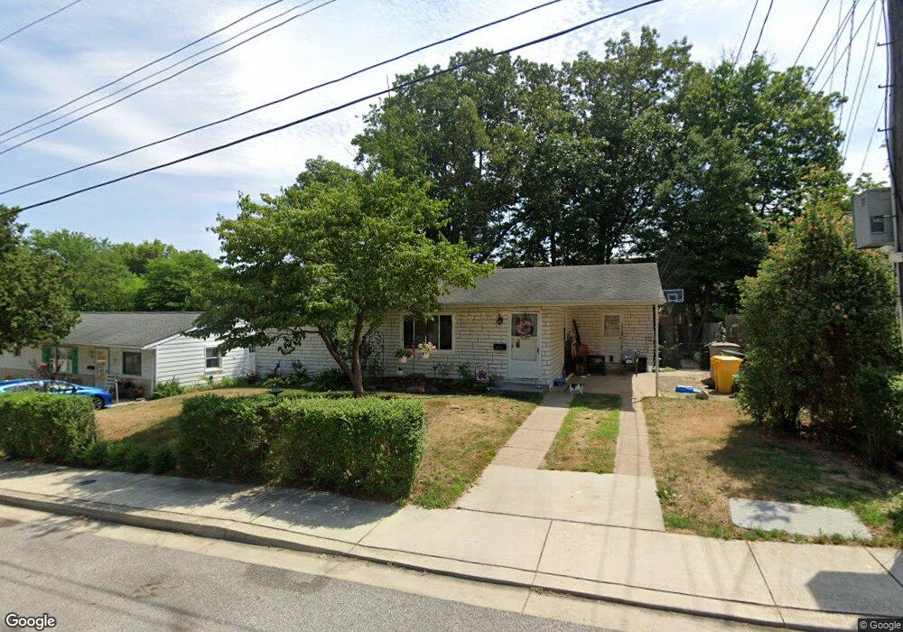
1027 Phillip Dr Glen Burnie, MD 21061
Estimated Value: $240,400 - $338,000
--
Bed
1
Bath
962
Sq Ft
$322/Sq Ft
Est. Value
About This Home
This home is located at 1027 Phillip Dr, Glen Burnie, MD 21061 and is currently estimated at $309,850, approximately $322 per square foot. 1027 Phillip Dr is a home located in Anne Arundel County with nearby schools including Oakwood Elementary School, Corkran Middle School, and Glen Burnie High School.
Ownership History
Date
Name
Owned For
Owner Type
Purchase Details
Closed on
Oct 12, 2023
Sold by
Smith Vickie Sue
Bought by
Smith Vickie Sue and Stewart Amanda Elizabeth
Current Estimated Value
Create a Home Valuation Report for This Property
The Home Valuation Report is an in-depth analysis detailing your home's value as well as a comparison with similar homes in the area
Home Values in the Area
Average Home Value in this Area
Purchase History
| Date | Buyer | Sale Price | Title Company |
|---|---|---|---|
| Smith Vickie Sue | -- | None Listed On Document | |
| Smith Vickie Sue | -- | None Listed On Document |
Source: Public Records
Tax History Compared to Growth
Tax History
| Year | Tax Paid | Tax Assessment Tax Assessment Total Assessment is a certain percentage of the fair market value that is determined by local assessors to be the total taxable value of land and additions on the property. | Land | Improvement |
|---|---|---|---|---|
| 2025 | $2,877 | $228,900 | $144,500 | $84,400 |
| 2024 | $2,877 | $216,900 | $0 | $0 |
| 2023 | $2,711 | $204,900 | $0 | $0 |
| 2022 | $2,446 | $192,900 | $129,500 | $63,400 |
| 2021 | $2,446 | $192,900 | $129,500 | $63,400 |
| 2020 | $2,405 | $192,900 | $129,500 | $63,400 |
| 2019 | $2,407 | $192,900 | $124,500 | $68,400 |
| 2018 | $1,844 | $181,833 | $0 | $0 |
| 2017 | $2,123 | $170,767 | $0 | $0 |
| 2016 | -- | $159,700 | $0 | $0 |
| 2015 | -- | $152,367 | $0 | $0 |
| 2014 | -- | $145,033 | $0 | $0 |
Source: Public Records
Map
Nearby Homes
- 203 Buckingham Dr
- 409 Aquahart Rd
- 308 Aquahart Rd
- 306 Woodleaf Ct
- 1423 Braden Loop
- 7818 Oakwood Rd
- 262 Woodoak Ct
- 1475 Braden Loop
- 1324 Ray Ln
- 125 Range Rd
- 405 Morningside Dr
- 112 Kindred Way
- 118 Heather Stone Way Unit 80
- 1002 Lee Rd
- 251 Oakview Village Dr
- 267 Truck Farm Dr
- 0 Irene Dr
- 707 Delmar Ave
- 7808 Five Oaks Ct
- 227 Truck Farm Dr
- 1029 Phillip Dr
- 1025 Phillip Dr
- 1031 Phillip Dr
- 1023 Phillip Dr
- 1013 Guy Dr
- 1020 Phillip Dr
- 1024 Phillip Dr
- 1018 Phillip Dr
- 1021 Phillip Dr
- 1020 Cayer Dr
- 1028 Guy Dr
- 212 Gloucester Dr
- 1016 Phillip Dr
- 214 Gloucester Dr
- 1009 Guy Dr
- 210 Gloucester Dr
- 216 Gloucester Dr
- 1007 Guy Dr
- 1011 Guy Dr
- 1019 Phillip Dr