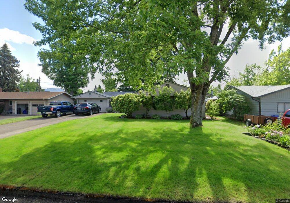
1027 Randall St Eugene, OR 97401
Harlow NeighborhoodEstimated Value: $492,126 - $573,000
3
Beds
2
Baths
1,772
Sq Ft
$300/Sq Ft
Est. Value
About This Home
This home is located at 1027 Randall St, Eugene, OR 97401 and is currently estimated at $531,032, approximately $299 per square foot. 1027 Randall St is a home located in Lane County with nearby schools including Holt Elementary School, Monroe Middle School, and Sheldon High School.
Ownership History
Date
Name
Owned For
Owner Type
Purchase Details
Closed on
Feb 1, 2002
Sold by
Westman Matthew F and Westman Elizabeth S
Bought by
Hill Steven W and Hill Mary M
Current Estimated Value
Home Financials for this Owner
Home Financials are based on the most recent Mortgage that was taken out on this home.
Original Mortgage
$155,700
Outstanding Balance
$58,263
Interest Rate
6%
Estimated Equity
$472,769
Create a Home Valuation Report for This Property
The Home Valuation Report is an in-depth analysis detailing your home's value as well as a comparison with similar homes in the area
Home Values in the Area
Average Home Value in this Area
Purchase History
| Date | Buyer | Sale Price | Title Company |
|---|---|---|---|
| Hill Steven W | $173,000 | Western Pioneer Title Co |
Source: Public Records
Mortgage History
| Date | Status | Borrower | Loan Amount |
|---|---|---|---|
| Open | Hill Steven W | $155,700 |
Source: Public Records
Tax History
| Year | Tax Paid | Tax Assessment Tax Assessment Total Assessment is a certain percentage of the fair market value that is determined by local assessors to be the total taxable value of land and additions on the property. | Land | Improvement |
|---|---|---|---|---|
| 2025 | $4,808 | $246,766 | -- | -- |
| 2024 | $4,748 | $239,579 | -- | -- |
| 2023 | $4,748 | $232,601 | $0 | $0 |
| 2022 | $4,448 | $225,827 | $0 | $0 |
| 2021 | $4,178 | $219,250 | $0 | $0 |
| 2020 | $4,193 | $212,865 | $0 | $0 |
| 2019 | $4,049 | $206,666 | $0 | $0 |
| 2018 | $3,812 | $194,803 | $0 | $0 |
| 2017 | $3,641 | $194,803 | $0 | $0 |
| 2016 | $3,502 | $189,129 | $0 | $0 |
| 2015 | $3,346 | $183,620 | $0 | $0 |
| 2014 | $3,241 | $178,272 | $0 | $0 |
Source: Public Records
Map
Nearby Homes
- 825 Waverly St
- 1271 Arcadia Dr
- 2872 Suffolk Ct
- 1491 Victorian Way
- 3700 Babcock Ln Unit 106
- 0 Sprig Ln Unit Lot 3
- 0 Sprig Ln Unit Lot 3 766109892
- 349 van Duyn St
- 2994 Dapple Way
- 2746 Harlow Rd
- 950 Coburg Rd
- 2956 Willakenzie Rd
- 1564 Regency Dr
- 280 Roan Dr
- 600 Cherry Dr Unit 8
- 600 Cherry Dr Unit 3
- 2345 Pioneer Pike
- 1090 Corydon St
- 280 Regal Ct
- 1630 Ridgley Blvd
- 1039 Randall St
- 1015 Randall St
- 1030 Satre St
- 1040 Satre St
- 1010 Satre St
- 1051 Randall St
- 1024 Randall St
- 1036 Randall St
- 1050 Satre St
- 3285 Western Dr
- 1048 Randall St
- 1063 Randall St
- 993 Randall St
- 1060 Satre St
- 990 N van Duyn St
- 1060 Randall St
- 1025 Satre St
- 1027 Leigh St
- 1031 Leigh St
- 3410 Saint St
Your Personal Tour Guide
Ask me questions while you tour the home.