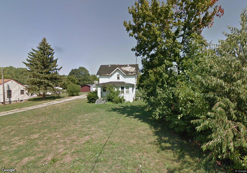
1027 S East St Woodstock, IL 60098
Estimated Value: $115,207 - $266,000
--
Bed
--
Bath
1,066
Sq Ft
$180/Sq Ft
Est. Value
About This Home
This home is located at 1027 S East St, Woodstock, IL 60098 and is currently estimated at $192,052, approximately $180 per square foot. 1027 S East St is a home located in McHenry County with nearby schools including Dean Street Elementary School, Creekside Middle School, and Woodstock High School.
Ownership History
Date
Name
Owned For
Owner Type
Purchase Details
Closed on
Oct 30, 2008
Sold by
Whiting Mark A and Whiting Diane E
Bought by
Nillen Daniel T
Current Estimated Value
Home Financials for this Owner
Home Financials are based on the most recent Mortgage that was taken out on this home.
Original Mortgage
$48,750
Outstanding Balance
$12,130
Interest Rate
6.09%
Mortgage Type
Purchase Money Mortgage
Estimated Equity
$179,922
Create a Home Valuation Report for This Property
The Home Valuation Report is an in-depth analysis detailing your home's value as well as a comparison with similar homes in the area
Home Values in the Area
Average Home Value in this Area
Purchase History
| Date | Buyer | Sale Price | Title Company |
|---|---|---|---|
| Nillen Daniel T | $65,000 | Chicago Title |
Source: Public Records
Mortgage History
| Date | Status | Borrower | Loan Amount |
|---|---|---|---|
| Open | Nillen Daniel T | $48,750 |
Source: Public Records
Tax History Compared to Growth
Tax History
| Year | Tax Paid | Tax Assessment Tax Assessment Total Assessment is a certain percentage of the fair market value that is determined by local assessors to be the total taxable value of land and additions on the property. | Land | Improvement |
|---|---|---|---|---|
| 2024 | $613 | $6,655 | $6,466 | $189 |
| 2023 | $589 | $6,018 | $5,847 | $171 |
| 2022 | $551 | $5,348 | $5,189 | $159 |
| 2021 | $527 | $4,997 | $4,848 | $149 |
| 2020 | $510 | $4,749 | $4,607 | $142 |
| 2019 | $497 | $4,534 | $4,398 | $136 |
| 2018 | $572 | $5,135 | $5,016 | $119 |
| 2017 | $565 | $4,833 | $4,721 | $112 |
| 2016 | $565 | $4,475 | $4,371 | $104 |
| 2013 | -- | $10,072 | $8,712 | $1,360 |
Source: Public Records
Map
Nearby Homes
- 331 Chestnut St
- 908 Bunker St
- 601 S Jefferson St
- 1380 Sandpiper Ln
- 434 Lake Ave
- 155 Lee Ann Ln
- 330 Lake Ave
- 415 Dean St
- 104 Stewart Ave
- 125 Forest Ave
- 421 W Kimball Ave
- 2007 Edgewood Dr
- 9999 E Calhoun St
- 722 E Calhoun St
- 200 E Judd St
- 1288 Prairie Ridge Trail
- 3848 Riverwoods Dr
- 3902 Riverwoods Dr
- 3842 Riverwoods Dr
- 3839 Riverwoods Dr
- 1021 S East St
- 630 E Kimball Ave
- 533 Burbank Ave
- 620 E Kimball Ave
- 618 E Kimball Ave
- 626 E Kimball Ave
- 1191 Ginny Ln
- 1201 Ginny Ln
- 527 Burbank Ave
- 532 E Kimball Ave
- 526 E Kimball Ave
- 521 Burbank Ave
- 521 Burbank Ave Unit 1
- 521 Burbank Ave Unit 2
- Lot 1 E Kimball Ave
- 536 Burbank Ave
- 520 E Kimball Ave
- 530 Burbank Ave
- 515 Burbank Ave
- 636 E Kimball Ave