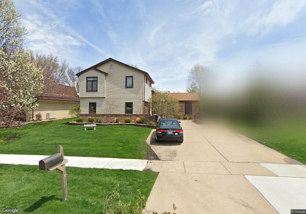
1027 Spring Cove Dr Schaumburg, IL 60193
South Schaumburg NeighborhoodEstimated Value: $589,000 - $671,000
4
Beds
3
Baths
2,969
Sq Ft
$208/Sq Ft
Est. Value
About This Home
This home is located at 1027 Spring Cove Dr, Schaumburg, IL 60193 and is currently estimated at $617,390, approximately $207 per square foot. 1027 Spring Cove Dr is a home located in Cook County with nearby schools including Nathan Hale Elementary School, Robert Frost Junior High School, and Schaumburg High School.
Ownership History
Date
Name
Owned For
Owner Type
Purchase Details
Closed on
Mar 31, 2017
Sold by
Stolle Ellwood G and Stolle Maureen L
Bought by
Stolle Ellwood G and Stolle Maureen L
Current Estimated Value
Home Financials for this Owner
Home Financials are based on the most recent Mortgage that was taken out on this home.
Original Mortgage
$297,600
Outstanding Balance
$246,395
Interest Rate
4.37%
Mortgage Type
New Conventional
Estimated Equity
$370,995
Purchase Details
Closed on
Mar 15, 2017
Sold by
Spizzirri William and Spizzirri Diane
Bought by
Stolle Ellwood G and Stolle Maureen L
Home Financials for this Owner
Home Financials are based on the most recent Mortgage that was taken out on this home.
Original Mortgage
$297,600
Outstanding Balance
$246,395
Interest Rate
4.37%
Mortgage Type
New Conventional
Estimated Equity
$370,995
Purchase Details
Closed on
Aug 18, 2016
Sold by
Spizzirri William M and Spizzirri Diane R
Bought by
Spizzirri William and Spizzirri Diane
Create a Home Valuation Report for This Property
The Home Valuation Report is an in-depth analysis detailing your home's value as well as a comparison with similar homes in the area
Home Values in the Area
Average Home Value in this Area
Purchase History
| Date | Buyer | Sale Price | Title Company |
|---|---|---|---|
| Stolle Ellwood G | -- | Attorney | |
| Stolle Ellwood G | $372,000 | Greater Illinois Title | |
| Spizzirri William | -- | Attorney |
Source: Public Records
Mortgage History
| Date | Status | Borrower | Loan Amount |
|---|---|---|---|
| Open | Stolle Ellwood G | $297,600 |
Source: Public Records
Tax History
| Year | Tax Paid | Tax Assessment Tax Assessment Total Assessment is a certain percentage of the fair market value that is determined by local assessors to be the total taxable value of land and additions on the property. | Land | Improvement |
|---|---|---|---|---|
| 2025 | $12,886 | $60,001 | $9,188 | $50,813 |
| 2024 | $12,886 | $46,000 | $7,875 | $38,125 |
| 2023 | $12,495 | $46,000 | $7,875 | $38,125 |
| 2022 | $12,495 | $46,000 | $7,875 | $38,125 |
| 2021 | $10,296 | $39,966 | $5,906 | $34,060 |
| 2020 | $10,241 | $39,966 | $5,906 | $34,060 |
| 2019 | $10,248 | $44,407 | $5,906 | $38,501 |
| 2018 | $9,967 | $39,395 | $5,031 | $34,364 |
| 2017 | $9,842 | $39,395 | $5,031 | $34,364 |
| 2016 | $10,882 | $39,395 | $5,031 | $34,364 |
| 2015 | $9,823 | $37,333 | $4,375 | $32,958 |
| 2014 | $10,286 | $37,333 | $4,375 | $32,958 |
| 2013 | $10,005 | $37,333 | $4,375 | $32,958 |
Source: Public Records
Map
Nearby Homes
- 220 Mountain Interval Rd Unit 6224
- 234 Mary Dr Unit 5320
- 242 Mary Dr Unit 5118
- 201 Mountain Interval Rd Unit 7129
- 244 Warren Ln Unit 11249
- 228 Warren Ln Unit 11645
- 226 Mary Dr Unit 5522
- 238 Mary Dr Unit 5219
- 212 Mountain Interval Rd Unit 6325
- 219 Mountain Interval Rd Unit 7432
- 200 Mountain Interval Rd Unit 6628
- 231 Mary Dr Unit 14168
- 216 Mountain Interval Rd Unit 6224
- 236 Warren Ln Unit 11447
- 248 Warren Ln Unit 11150
- 235 Quincy Ct
- 829 Sienna Dr
- 207 Mountain Interval Rd Unit 7230
- 240 Warren Ln Unit 11348
- 232 Warren Ln Unit 11546
- 1023 Spring Cove Dr
- 1031 Spring Cove Dr
- 1020 S Cedarcrest Dr
- 1024 S Cedarcrest Dr
- 1019 Spring Cove Dr
- 1035 Spring Cove Dr
- 1016 S Cedarcrest Dr
- 563 Sandpebble Dr
- 1028 S Cedarcrest Dr
- 1015 Spring Cove Dr
- 1014 S Cedarcrest Dr
- 1039 Spring Cove Dr
- 1030 Spring Cove Dr
- 1034 S Cedarcrest Dr
- 562 Sandpebble Dr
- 567 Sandpebble Dr
- 1034 Spring Cove Dr
- 1010 S Cedarcrest Dr
- 1011 Spring Cove Dr
- 1043 Spring Cove Dr
Your Personal Tour Guide
Ask me questions while you tour the home.