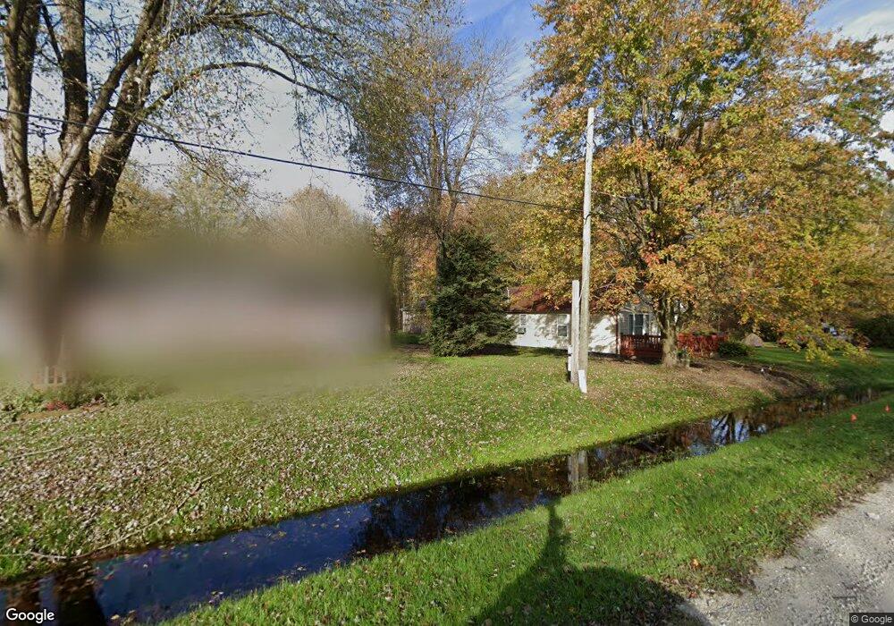
1027 Sturdevant Rd Kimball, MI 48074
Estimated Value: $79,000 - $244,000
2
Beds
1
Bath
1,067
Sq Ft
$167/Sq Ft
Est. Value
About This Home
This home is located at 1027 Sturdevant Rd, Kimball, MI 48074 and is currently estimated at $178,551, approximately $167 per square foot. 1027 Sturdevant Rd is a home located in St. Clair County with nearby schools including Marysville High School.
Ownership History
Date
Name
Owned For
Owner Type
Purchase Details
Closed on
Dec 27, 2021
Sold by
Birkenshaw Robert J and Birkenshaw Barbara L
Bought by
Birkenshaw Dean R
Current Estimated Value
Purchase Details
Closed on
Dec 22, 2021
Sold by
Birkenshaw Robert J and Birkenshaw Barbara L
Bought by
Birkenshaw Dean R
Purchase Details
Closed on
Apr 14, 2011
Sold by
Doggett Daniel
Bought by
Birkenshaw Robert Jay and Birkenshaw Barbra
Purchase Details
Closed on
Sep 10, 2009
Sold by
Secretary Of Housing & Urban Development
Bought by
Doggett Daniel
Purchase Details
Closed on
Aug 1, 2008
Sold by
Chase Home Finance Llc
Bought by
The Secretary Of Housing & Urban Develop
Purchase Details
Closed on
Jan 31, 2008
Sold by
Spudowski Dennis and Spudowski Rhonda
Bought by
Chase Home Finance Llc
Create a Home Valuation Report for This Property
The Home Valuation Report is an in-depth analysis detailing your home's value as well as a comparison with similar homes in the area
Home Values in the Area
Average Home Value in this Area
Purchase History
| Date | Buyer | Sale Price | Title Company |
|---|---|---|---|
| Birkenshaw Dean R | -- | None Listed On Document | |
| Birkenshaw Dean R | -- | None Listed On Document | |
| Birkenshaw Robert Jay | -- | None Available | |
| Doggett Daniel | $20,000 | None Available | |
| The Secretary Of Housing & Urban Develop | -- | None Available | |
| Chase Home Finance Llc | $90,184 | None Available |
Source: Public Records
Tax History
| Year | Tax Paid | Tax Assessment Tax Assessment Total Assessment is a certain percentage of the fair market value that is determined by local assessors to be the total taxable value of land and additions on the property. | Land | Improvement |
|---|---|---|---|---|
| 2025 | $563 | $81,500 | $0 | $0 |
| 2024 | $546 | $76,100 | $0 | $0 |
| 2023 | $520 | $71,900 | $0 | $0 |
| 2022 | $1,352 | $61,800 | $0 | $0 |
| 2020 | $1,941 | $47,900 | $47,900 | $0 |
| 2019 | $1,904 | $43,900 | $0 | $0 |
| 2018 | $1,860 | $39,300 | $0 | $0 |
| 2017 | $1,822 | $38,700 | $0 | $0 |
| 2016 | $441 | $38,700 | $0 | $0 |
| 2015 | -- | $38,400 | $38,400 | $0 |
| 2014 | -- | $39,400 | $39,400 | $0 |
| 2013 | -- | $40,000 | $0 | $0 |
Source: Public Records
Map
Nearby Homes
- 6776 Ravenswood Rd
- 6417 Dove Rd
- 0 Richman Rd Unit 50197304
- 6154 Birch Creek Ct
- 00 Smiths Creek Rd Smiths Creek Rd
- 1040 Mayer Rd
- 656 Wadhams Rd
- 1900 Burns Rd
- 00 Griswold Rd
- 7037 Yager Rd
- 2007 Edward Ln E
- 6841 Sparling Rd
- 1906 Morningstar Ave
- 2047 Edward Ln E
- 0 Sparling Rd Unit 2210034403
- 5265 Smiths Creek Rd
- 398 Pine Ridge Rd
- 399 Pine Ridge Rd
- 5117 Ravenswood Rd
- 0 Mayer Rd Unit Lot- 5
- 1027 Sturdevant Rd
- 1025 Sturdevant Rd
- 1055 Sturdevant Rd
- 6520 Ravenswood Rd
- 1057 Sturdevant Rd
- 6544 Ravenswood Rd
- 6544 Ravenswood Rd
- 0 Sturdevant Rd Unit 20230105953
- Sturdevant Rd. Sturdevant Rd
- 0000 Sturdevant Rd
- 1201 Sturdevant Rd
- 991 Sturdevant Rd
- 990 Sturdevant Rd
- 915 Sturdevant Rd
- 6572 Ravenswood Rd
- 6493 Ravenswood Rd
- 1095 Sturdevant Rd
- 6523 Ravenswood Rd
- 1070 Sturdevant Rd
- 1090 Sturdevant Rd
Your Personal Tour Guide
Ask me questions while you tour the home.