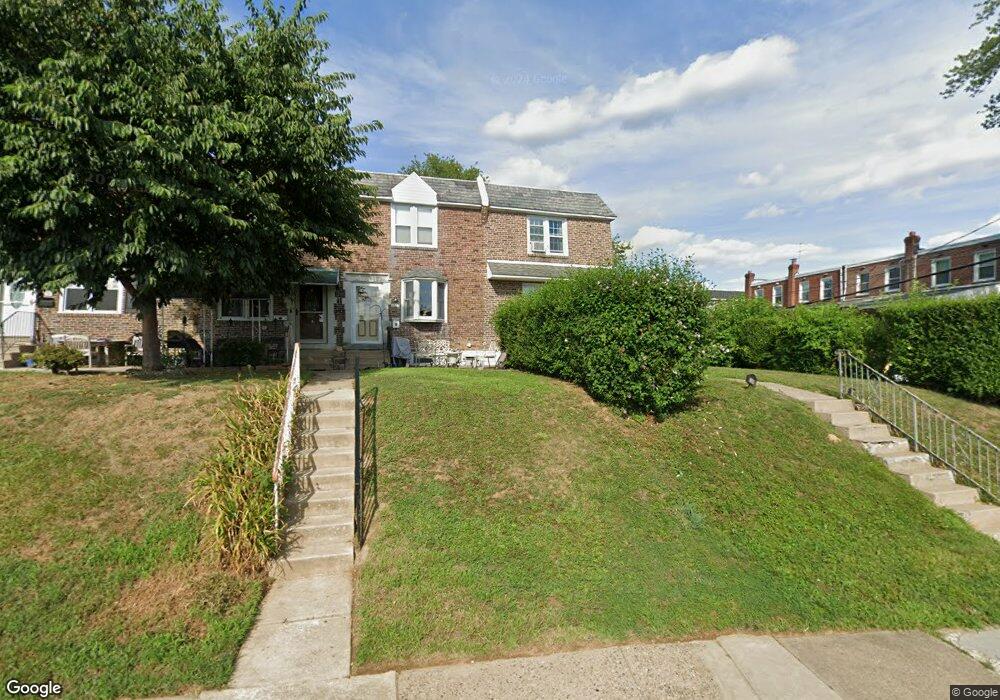
1027 Tremont Dr Glenolden, PA 19036
Estimated Value: $156,000 - $241,000
3
Beds
1
Bath
1,152
Sq Ft
$182/Sq Ft
Est. Value
About This Home
This home is located at 1027 Tremont Dr, Glenolden, PA 19036 and is currently estimated at $209,512, approximately $181 per square foot. 1027 Tremont Dr is a home located in Delaware County with nearby schools including Darby Township School, Academy Park High School, and Our Lady Of Fatima School.
Ownership History
Date
Name
Owned For
Owner Type
Purchase Details
Closed on
Apr 26, 2002
Sold by
Donnelly Regina Diloreto
Bought by
Frame Richard and Costello Lizanne
Current Estimated Value
Home Financials for this Owner
Home Financials are based on the most recent Mortgage that was taken out on this home.
Original Mortgage
$84,333
Outstanding Balance
$35,911
Interest Rate
7.05%
Estimated Equity
$173,601
Create a Home Valuation Report for This Property
The Home Valuation Report is an in-depth analysis detailing your home's value as well as a comparison with similar homes in the area
Home Values in the Area
Average Home Value in this Area
Purchase History
| Date | Buyer | Sale Price | Title Company |
|---|---|---|---|
| Frame Richard | $85,000 | Commonwealth Land Title Ins |
Source: Public Records
Mortgage History
| Date | Status | Borrower | Loan Amount |
|---|---|---|---|
| Open | Frame Richard | $84,333 |
Source: Public Records
Tax History Compared to Growth
Tax History
| Year | Tax Paid | Tax Assessment Tax Assessment Total Assessment is a certain percentage of the fair market value that is determined by local assessors to be the total taxable value of land and additions on the property. | Land | Improvement |
|---|---|---|---|---|
| 2025 | $4,425 | $99,850 | $26,460 | $73,390 |
| 2024 | $4,425 | $99,850 | $26,460 | $73,390 |
| 2023 | $3,422 | $99,850 | $26,460 | $73,390 |
| 2022 | $4,228 | $99,850 | $26,460 | $73,390 |
| 2021 | $5,791 | $99,850 | $26,460 | $73,390 |
| 2020 | $4,783 | $74,720 | $22,670 | $52,050 |
| 2019 | $4,556 | $74,720 | $22,670 | $52,050 |
| 2018 | $4,454 | $74,720 | $0 | $0 |
| 2017 | $4,296 | $74,720 | $0 | $0 |
| 2016 | $410 | $74,720 | $0 | $0 |
| 2015 | $410 | $74,720 | $0 | $0 |
| 2014 | $410 | $74,720 | $0 | $0 |
Source: Public Records
Map
Nearby Homes
- 1002 Brookwood Ln
- 1016 Poplar Ave
- 2 Stratford Rd
- 1274 Nicole Ln
- 826 South Ave Unit R8
- 816 South Ave Unit K5
- 816 South Ave Unit K1
- 1240 Nicole Ln
- 814 South Ave Unit J6
- 804 South Ave Unit D7
- 604 Crescent Dr
- 620 S Garfield Ave
- 428 Adair Rd
- 808 Rively Ave
- 900 Maple Ave
- 416 Adair Rd
- 2815 Quaint St
- 4 S Academy Ave
- 1012 Brook Ave
- 21 Benson Dr
- 1029 Tremont Dr
- 1025 Tremont Dr
- 1031 Tremont Dr
- 1033 Tremont Dr
- 1035 Tremont Dr
- 1037 Tremont Dr
- 220 Westbridge Rd
- 222 Westbridge Rd
- 218 Westbridge Rd
- 216 Westbridge Rd
- 224 Westbridge Rd
- 1039 Tremont Dr
- 214 Westbridge Rd
- 1032 Oakwood Dr
- 1030 Oakwood Dr
- 1034 Oakwood Dr
- 212 Westbridge Rd
- 1028 Oakwood Dr
- 1026 Oakwood Dr
- 1036 Oakwood Dr