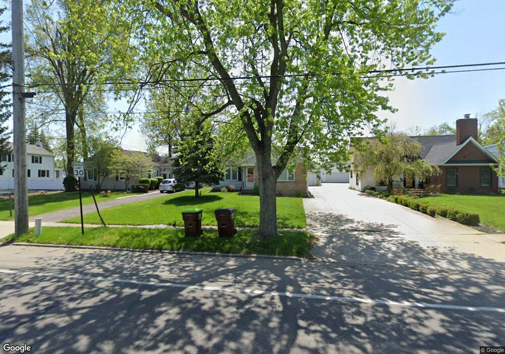
1027 W Maple Ave Adrian, MI 49221
Estimated Value: $175,000 - $186,000
3
Beds
1
Bath
1,180
Sq Ft
$152/Sq Ft
Est. Value
About This Home
This home is located at 1027 W Maple Ave, Adrian, MI 49221 and is currently estimated at $179,333, approximately $151 per square foot. 1027 W Maple Ave is a home located in Lenawee County with nearby schools including Adrian High School, Berean Baptist Academy, and Trenton Hills Learning Center.
Ownership History
Date
Name
Owned For
Owner Type
Purchase Details
Closed on
Aug 31, 2012
Sold by
Fannie Mae
Bought by
Krill Ida M and Krill Gregory M
Current Estimated Value
Home Financials for this Owner
Home Financials are based on the most recent Mortgage that was taken out on this home.
Original Mortgage
$34,675
Outstanding Balance
$24,016
Interest Rate
3.59%
Mortgage Type
New Conventional
Estimated Equity
$155,317
Purchase Details
Closed on
Dec 29, 2011
Sold by
The Huntington National Bank
Bought by
Federal National Mortgage Association
Purchase Details
Closed on
Sep 15, 2011
Sold by
Lockwood Mary A
Bought by
The Huntington National Bank
Create a Home Valuation Report for This Property
The Home Valuation Report is an in-depth analysis detailing your home's value as well as a comparison with similar homes in the area
Home Values in the Area
Average Home Value in this Area
Purchase History
| Date | Buyer | Sale Price | Title Company |
|---|---|---|---|
| Krill Ida M | $36,500 | None Available | |
| Federal National Mortgage Association | -- | Thoroughbred Title | |
| The Huntington National Bank | $88,127 | None Available |
Source: Public Records
Mortgage History
| Date | Status | Borrower | Loan Amount |
|---|---|---|---|
| Open | Krill Ida M | $34,675 |
Source: Public Records
Tax History Compared to Growth
Tax History
| Year | Tax Paid | Tax Assessment Tax Assessment Total Assessment is a certain percentage of the fair market value that is determined by local assessors to be the total taxable value of land and additions on the property. | Land | Improvement |
|---|---|---|---|---|
| 2025 | $3,483 | $72,200 | $0 | $0 |
| 2024 | $2,154 | $68,300 | $0 | $0 |
| 2023 | $2,727 | $61,400 | $0 | $0 |
| 2022 | $2,389 | $57,400 | $0 | $0 |
| 2021 | $2,347 | $53,300 | $0 | $0 |
| 2020 | $2,331 | $49,200 | $0 | $0 |
| 2019 | $106,348 | $47,500 | $0 | $0 |
| 2018 | $2,248 | $56,481 | $0 | $0 |
| 2017 | $2,184 | $46,707 | $0 | $0 |
| 2016 | $2,166 | $41,666 | $0 | $0 |
| 2014 | -- | $34,600 | $0 | $0 |
Source: Public Records
Map
Nearby Homes
- 1144 W Maumee St
- 1058 W Maumee St
- 146 Budlong St
- 914 W Maumee St
- 443 Stockford Dr
- 1269 Scott Ridge Dr
- 682 Budlong St
- 260 Renfrew Ave
- 333 Greenly St
- 1136 Michigan Ave
- 227 Greenly St
- 670 Stockford Dr
- 104 Canterbury St
- 306 Summer St
- 143 Park St
- 705 College Ave
- 903 Michigan Ave
- 1325 Country Club Rd
- 1100 Blk Country Club Rd
- 770 Lakeshire Trail Unit 201 West
- 1027 W Maple Ave Unit MAPLE
- 1021 W Maple Ave
- 1033 W Maple Ave
- 1033 W Maple Ave Unit MAPLE
- 1039 W Maple Ave
- 385 N Scott St
- 1045 W Maple Ave
- 365 N Scott St
- 1047 W Maple Ave
- 366 Highland Dr
- 420 N Scott St
- 986 W Maple Ave
- 376 Highland Dr
- 345 N Scott St
- 422 N Scott St
- 1051 W Maple Ave
- 342 Highland Dr
- 980 W Maple Ave
- 382 N Scott St
- 388 N Scott St