1027 William And Mary Ct Barnhart, MO 63012
Estimated Value: $349,338 - $415,000
--
Bed
--
Bath
2,058
Sq Ft
$185/Sq Ft
Est. Value
About This Home
This home is located at 1027 William And Mary Ct, Barnhart, MO 63012 and is currently estimated at $379,835, approximately $184 per square foot. 1027 William And Mary Ct is a home located in Jefferson County with nearby schools including Antonia Elementary School, Antonia Middle School, and Seckman Senior High School.
Ownership History
Date
Name
Owned For
Owner Type
Purchase Details
Closed on
Dec 17, 2003
Sold by
American Heritage Homes Llc
Bought by
Gentry Howard M and Gentry Julie A
Current Estimated Value
Home Financials for this Owner
Home Financials are based on the most recent Mortgage that was taken out on this home.
Original Mortgage
$181,300
Outstanding Balance
$84,832
Interest Rate
6.02%
Mortgage Type
Purchase Money Mortgage
Estimated Equity
$295,003
Purchase Details
Closed on
Sep 5, 2003
Sold by
American Heritage Land Development Llc
Bought by
American Heritage Homes Llc
Home Financials for this Owner
Home Financials are based on the most recent Mortgage that was taken out on this home.
Original Mortgage
$173,819
Interest Rate
6.08%
Mortgage Type
Construction
Create a Home Valuation Report for This Property
The Home Valuation Report is an in-depth analysis detailing your home's value as well as a comparison with similar homes in the area
Home Values in the Area
Average Home Value in this Area
Purchase History
| Date | Buyer | Sale Price | Title Company |
|---|---|---|---|
| Gentry Howard M | -- | Heritage Title | |
| American Heritage Homes Llc | -- | Heritage Title |
Source: Public Records
Mortgage History
| Date | Status | Borrower | Loan Amount |
|---|---|---|---|
| Open | Gentry Howard M | $181,300 | |
| Previous Owner | American Heritage Homes Llc | $173,819 | |
| Closed | Gentry Howard M | $10,000 |
Source: Public Records
Tax History Compared to Growth
Tax History
| Year | Tax Paid | Tax Assessment Tax Assessment Total Assessment is a certain percentage of the fair market value that is determined by local assessors to be the total taxable value of land and additions on the property. | Land | Improvement |
|---|---|---|---|---|
| 2025 | $3,079 | $48,400 | $7,000 | $41,400 |
| 2024 | $3,079 | $45,200 | $7,000 | $38,200 |
| 2023 | $3,079 | $45,200 | $7,000 | $38,200 |
| 2022 | $3,076 | $45,200 | $7,000 | $38,200 |
| 2021 | $3,077 | $45,200 | $7,000 | $38,200 |
| 2020 | $2,943 | $40,400 | $6,100 | $34,300 |
| 2019 | $2,941 | $40,400 | $6,100 | $34,300 |
| 2018 | $2,915 | $40,400 | $6,100 | $34,300 |
| 2017 | $2,817 | $40,400 | $6,100 | $34,300 |
| 2016 | $2,625 | $37,600 | $6,000 | $31,600 |
| 2015 | $2,619 | $37,600 | $6,000 | $31,600 |
| 2013 | $2,619 | $37,300 | $6,000 | $31,300 |
Source: Public Records
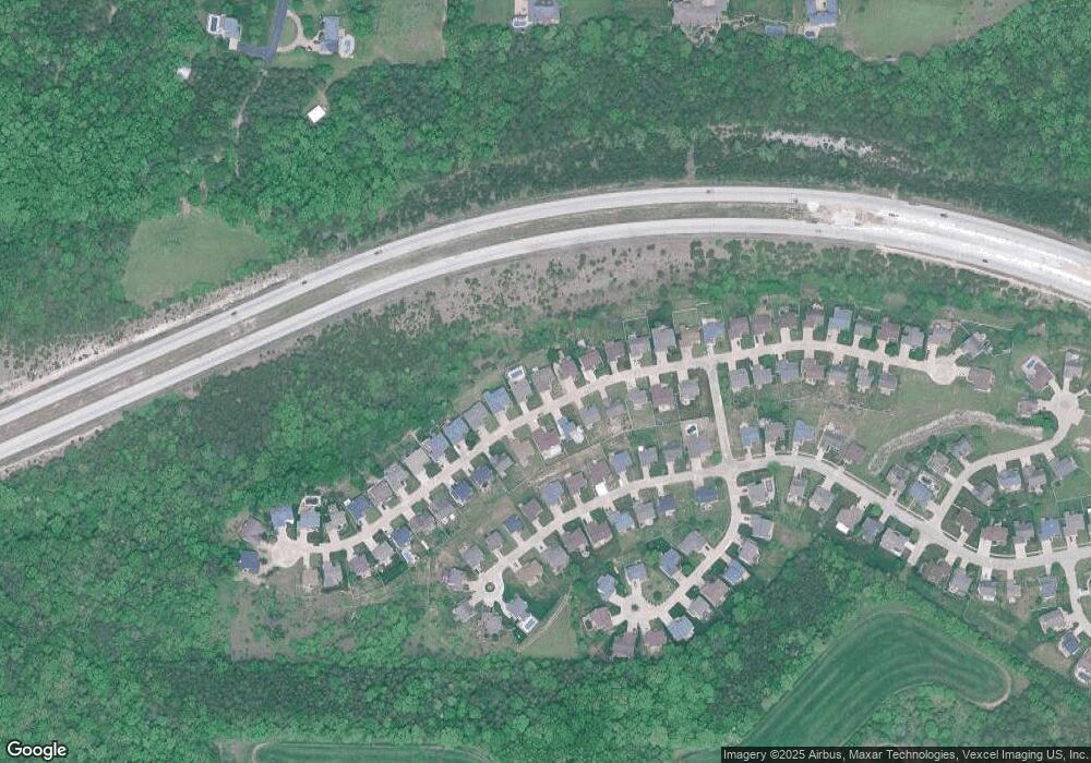
Map
Nearby Homes
- 2928 Glaize Creek Dr
- 6389 Daisy Ln
- 2794 Red Maple Dr
- 2354 Fountain Dr
- 6606 Old Lemay Ferry Rd
- 3653 Morgan Way
- 6113 Courtney Way
- 6117 Courtney Way
- 0 Antonia Estates - Marylyn Unit MAR24055182
- 0 Antonia Estates - Kayla Unit MAR24055188
- 0 Antonia Estates - Julieann I Unit MAR24055174
- 0 Antonia Estates - Blake II Unit MAR24055163
- 0 Antonia Estates - Madison Unit MAR24055178
- 0 Antonia Estates - Julieann II Unit MAR24055177
- 0 Antonia Estates - Brittany Unit MAR24055149
- 0 Antonia Estates - Connor Unit MAR24055157
- 0 Antonia Estates - Amanda Unit MAR24055190
- Amanda Plan at Antonia Estates
- Kayla Plan at Antonia Estates
- Marylyn Plan at Antonia Estates
- 1031 William And Mary Ct
- 1023 William And Mary Ct
- 1035 William And Mary Ct
- 1019 William And Mary Ct
- 1026 William And Mary Ct
- 1030 William And Mary Ct
- 1022 William And Mary Ct
- 1036 William And Mary Ct
- 1039 William And Mary Ct
- 1018 William And Mary Ct
- 1040 William And Mary Ct
- 1012 William And Mary Ct
- 1043 William And Mary Ct
- 1011 William And Mary Ct
- 2807 Kings Crossing Dr
- 2811 Kings Crossing Dr
- 2803 Kings Crossing Dr
- 1008 William And Mary Ct
- 2797 Kings Crossing Dr
- 1044 William And Mary Ct