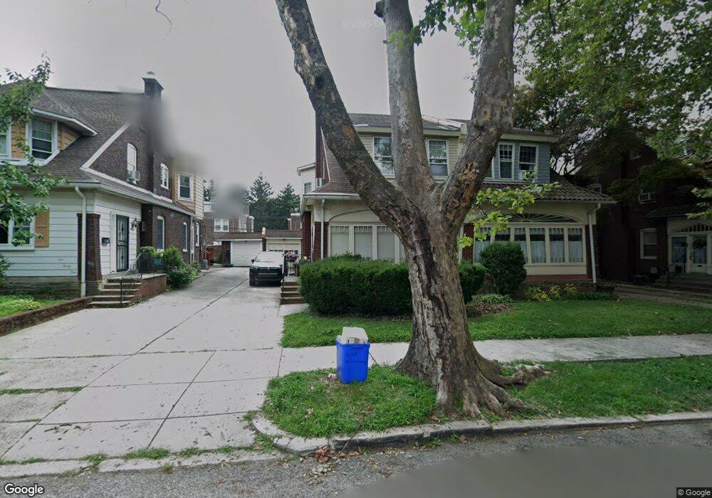
1028 Allengrove St Philadelphia, PA 19124
Frankford NeighborhoodEstimated Value: $274,000 - $298,000
4
Beds
1
Bath
1,957
Sq Ft
$147/Sq Ft
Est. Value
About This Home
This home is located at 1028 Allengrove St, Philadelphia, PA 19124 and is currently estimated at $287,384, approximately $146 per square foot. 1028 Allengrove St is a home located in Philadelphia County with nearby schools including Frankford High School, The Philadelphia Charter School for the Arts & Sciences, and Northwood Academy Charter School.
Ownership History
Date
Name
Owned For
Owner Type
Purchase Details
Closed on
Jun 1, 2001
Sold by
Bergmaier Joseph P and Bergmaier Sandra J
Bought by
Moore Kevin and Moore Valerie P Martin
Current Estimated Value
Home Financials for this Owner
Home Financials are based on the most recent Mortgage that was taken out on this home.
Original Mortgage
$109,137
Outstanding Balance
$40,442
Interest Rate
7.09%
Mortgage Type
FHA
Estimated Equity
$246,942
Create a Home Valuation Report for This Property
The Home Valuation Report is an in-depth analysis detailing your home's value as well as a comparison with similar homes in the area
Home Values in the Area
Average Home Value in this Area
Purchase History
| Date | Buyer | Sale Price | Title Company |
|---|---|---|---|
| Moore Kevin | $110,000 | -- |
Source: Public Records
Mortgage History
| Date | Status | Borrower | Loan Amount |
|---|---|---|---|
| Open | Moore Kevin | $109,137 |
Source: Public Records
Tax History Compared to Growth
Tax History
| Year | Tax Paid | Tax Assessment Tax Assessment Total Assessment is a certain percentage of the fair market value that is determined by local assessors to be the total taxable value of land and additions on the property. | Land | Improvement |
|---|---|---|---|---|
| 2026 | $3,525 | $282,200 | $56,440 | $225,760 |
| 2025 | $3,525 | $282,200 | $56,440 | $225,760 |
| 2024 | $3,525 | $282,200 | $56,440 | $225,760 |
| 2023 | $3,525 | $251,800 | $50,360 | $201,440 |
| 2022 | $2,895 | $206,800 | $50,360 | $156,440 |
| 2021 | $2,528 | $0 | $0 | $0 |
| 2020 | $2,528 | $0 | $0 | $0 |
| 2019 | $2,426 | $0 | $0 | $0 |
| 2018 | $2,361 | $0 | $0 | $0 |
| 2017 | $2,361 | $0 | $0 | $0 |
| 2016 | -- | $0 | $0 | $0 |
| 2015 | -- | $0 | $0 | $0 |
| 2014 | -- | $168,700 | $45,600 | $123,100 |
| 2012 | -- | $23,840 | $2,963 | $20,877 |
Source: Public Records
Map
Nearby Homes
- 1859 Harrison St
- 1052 Allengrove St
- 926 Foulkrod St
- 4046 E Roosevelt Blvd
- 4717 Northwood St
- 1001-3 Arrott St
- 1208 Haworth St
- 1214 Haworth St
- 5505 Loretto Ave
- 1048 Bridge St
- 1204 Pratt St
- 1300 Harrison St
- 1218 Pratt St
- 1220 Pratt St
- 5118 Oakland St
- 1137 Bridge St
- 1335 Fillmore St
- 5033 Akron St
- 4704 E Roosevelt Blvd
- 5640 Miriam Rd
- 1034 Allengrove St
- 1026 Allengrove St
- 1036 Allengrove St
- 1020 Allengrove St
- 1042 Allengrove St
- 1018 Allengrove St
- 991 Harrison St
- 989 Harrison St
- 993 Harrison St
- 987 Harrison St
- 1044 Allengrove St
- 985 Harrison St
- 997 Harrison St
- 1027 Allengrove St
- 1029 Allengrove St
- 1021 Allengrove St
- 1035 Allengrove St
- 999 Harrison St
- 1019 Allengrove St
- 4919 Castor Ave