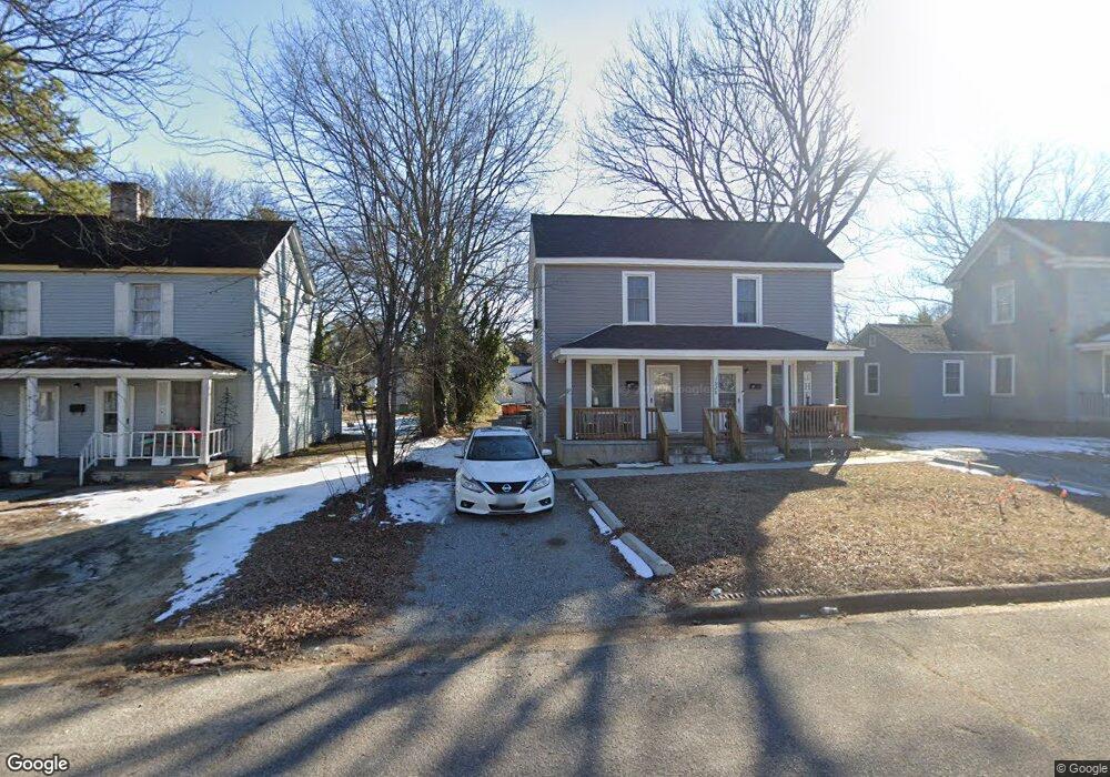
1028 Cedar St Roanoke Rapids, NC 27870
Estimated Value: $111,000 - $156,000
4
Beds
2
Baths
1,024
Sq Ft
$122/Sq Ft
Est. Value
About This Home
This home is located at 1028 Cedar St, Roanoke Rapids, NC 27870 and is currently estimated at $125,142, approximately $122 per square foot. 1028 Cedar St is a home located in Halifax County with nearby schools including Roanoke Rapids High School and Victory Christian Academy.
Ownership History
Date
Name
Owned For
Owner Type
Purchase Details
Closed on
Apr 2, 2015
Sold by
Bank Of North Carolina
Bought by
Roanoke Rapids Housing Authority
Current Estimated Value
Purchase Details
Closed on
Nov 5, 2012
Sold by
Tucker Robert and Tucker Mary
Bought by
Bank Of North Carolina
Purchase Details
Closed on
Oct 24, 2008
Sold by
Tucker Robert P and Tucker Mary R
Bought by
Halifax Land Company Llc
Create a Home Valuation Report for This Property
The Home Valuation Report is an in-depth analysis detailing your home's value as well as a comparison with similar homes in the area
Purchase History
| Date | Buyer | Sale Price | Title Company |
|---|---|---|---|
| Roanoke Rapids Housing Authority | $20,000 | None Available | |
| Bank Of North Carolina | $38,000 | None Available | |
| Halifax Land Company Llc | -- | None Available |
Source: Public Records
Tax History
| Year | Tax Paid | Tax Assessment Tax Assessment Total Assessment is a certain percentage of the fair market value that is determined by local assessors to be the total taxable value of land and additions on the property. | Land | Improvement |
|---|---|---|---|---|
| 2025 | $7 | $67,800 | $3,700 | $64,100 |
| 2024 | $7 | $67,800 | $3,700 | $64,100 |
| 2023 | $661 | $53,700 | $3,700 | $50,000 |
| 2022 | $626 | $3,700 | $3,700 | $0 |
| 2021 | $562 | $3,700 | $3,700 | $0 |
| 2020 | $525 | $3,700 | $3,700 | $0 |
| 2019 | $525 | $20,000 | $3,700 | $16,300 |
| 2018 | $507 | $20,000 | $3,700 | $16,300 |
| 2017 | $480 | $20,000 | $3,700 | $16,300 |
| 2016 | $859 | $20,000 | $3,700 | $16,300 |
| 2015 | $829 | $20,000 | $3,700 | $16,300 |
| 2014 | -- | $24,590 | $5,180 | $19,410 |
Source: Public Records
Map
Nearby Homes
- 909 Monroe St
- 817 Vance St
- 2077, 91 W 10th St
- 808 Monroe St
- 700 Vance St
- 638 Rapids St
- 2124 N Carolina 48
- 1206 Hamilton St
- 1226 Hamilton St
- 1033 Jefferson St
- 900 Ransome St
- 201 Clinton St
- 112 E 7th St
- 823 W 5th St
- 638 A B Jefferson St
- 1316 Bolling Rd
- 525 Hamilton St
- 414 Monroe St
- 403 Oak St
- 507 Hamilton St
Your Personal Tour Guide
Ask me questions while you tour the home.