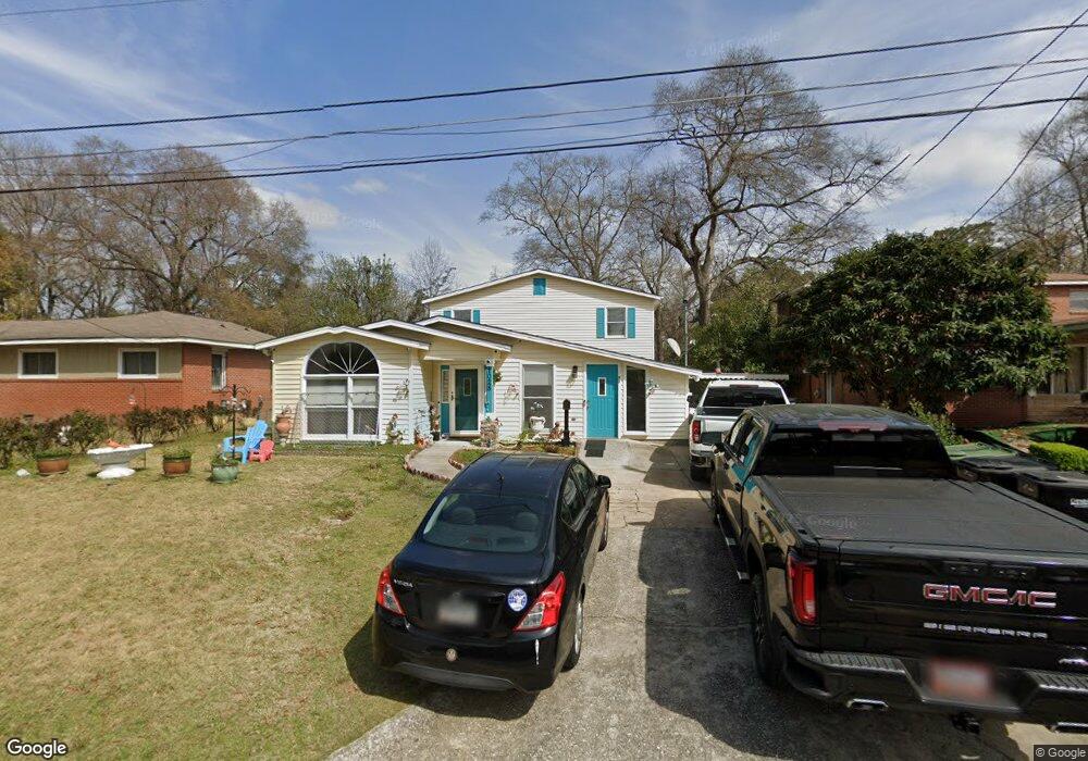
1028 Diggs Ave Columbus, GA 31906
East Carver Heights NeighborhoodEstimated Value: $68,000 - $233,300
5
Beds
4
Baths
2,920
Sq Ft
$47/Sq Ft
Est. Value
About This Home
This home is located at 1028 Diggs Ave, Columbus, GA 31906 and is currently estimated at $137,433, approximately $47 per square foot. 1028 Diggs Ave is a home located in Muscogee County with nearby schools including Brewer Elementary School, Richards Middle School, and Carver High School.
Ownership History
Date
Name
Owned For
Owner Type
Purchase Details
Closed on
Feb 18, 2025
Sold by
Perez Felipe Tomas
Bought by
Perez Felipe Tomas and Martinez Ismael R
Current Estimated Value
Purchase Details
Closed on
Dec 21, 2012
Sold by
Federal National Mortgage Association
Bought by
Perez Felipe Thomas
Purchase Details
Closed on
Jul 3, 2012
Sold by
Bank Of America
Bought by
Federal National Mtg Associati
Create a Home Valuation Report for This Property
The Home Valuation Report is an in-depth analysis detailing your home's value as well as a comparison with similar homes in the area
Home Values in the Area
Average Home Value in this Area
Purchase History
| Date | Buyer | Sale Price | Title Company |
|---|---|---|---|
| Perez Felipe Tomas | -- | None Listed On Document | |
| Perez Felipe Thomas | $31,000 | -- | |
| Federal National Mtg Associati | $99,000 | -- | |
| Bank Of America | $99,000 | -- |
Source: Public Records
Tax History Compared to Growth
Tax History
| Year | Tax Paid | Tax Assessment Tax Assessment Total Assessment is a certain percentage of the fair market value that is determined by local assessors to be the total taxable value of land and additions on the property. | Land | Improvement |
|---|---|---|---|---|
| 2025 | $1,114 | $55,844 | $3,748 | $52,096 |
| 2024 | $1,113 | $55,844 | $3,748 | $52,096 |
| 2023 | $426 | $55,844 | $3,748 | $52,096 |
| 2022 | $1,160 | $39,220 | $3,748 | $35,472 |
| 2021 | $1,230 | $45,548 | $3,748 | $41,800 |
| 2020 | $2,054 | $50,300 | $3,748 | $46,552 |
| 2019 | $2,061 | $50,300 | $3,748 | $46,552 |
| 2018 | $6 | $50,300 | $3,748 | $46,552 |
| 2017 | $7 | $50,300 | $3,748 | $46,552 |
| 2016 | $9 | $12,400 | $2,172 | $10,228 |
| 2015 | $4 | $12,400 | $2,172 | $10,228 |
| 2014 | $4 | $12,400 | $2,172 | $10,228 |
| 2013 | -- | $12,400 | $2,172 | $10,228 |
Source: Public Records
Map
Nearby Homes
- 937 Diggs Ave
- 3570 Stratford Dr
- 3319 Decatur St
- 3415 Terminal St
- 3414 Terminal St
- 776 Terminal Ct
- 1061 Dunbar Ave
- 3413 Terminal Ct
- 3122 Glenwood Dr
- 800 Morris Rd
- 1047 Fisk Ave
- 1312 Glenwood Rd
- 2937 Thomas St
- 2925 Colorado St
- 679 Parkchester Dr
- 2902 Hood St
- 2927 8th St
- 2835 Thomas St
- 2833 Thomas St
- 2829 Thomas St