1028 Double O Nine Rd Reeds Spring, MO 65737
Estimated Value: $273,079 - $358,000
3
Beds
2
Baths
1,019
Sq Ft
$302/Sq Ft
Est. Value
About This Home
This home is located at 1028 Double O Nine Rd, Reeds Spring, MO 65737 and is currently estimated at $307,270, approximately $301 per square foot. 1028 Double O Nine Rd is a home located in Stone County with nearby schools including Reeds Spring Primary School, Reeds Spring Elementary School, and Reeds Spring Middle School.
Ownership History
Date
Name
Owned For
Owner Type
Purchase Details
Closed on
Sep 29, 2023
Sold by
Thomas Team Llc
Bought by
Irrevocable Trust and Brown
Current Estimated Value
Purchase Details
Closed on
Sep 14, 2015
Sold by
Cook Ann
Bought by
Pomah Llc
Home Financials for this Owner
Home Financials are based on the most recent Mortgage that was taken out on this home.
Original Mortgage
$145,000
Interest Rate
3.99%
Mortgage Type
Future Advance Clause Open End Mortgage
Create a Home Valuation Report for This Property
The Home Valuation Report is an in-depth analysis detailing your home's value as well as a comparison with similar homes in the area
Home Values in the Area
Average Home Value in this Area
Purchase History
| Date | Buyer | Sale Price | Title Company |
|---|---|---|---|
| Irrevocable Trust | -- | None Listed On Document | |
| Pomah Llc | -- | None Available |
Source: Public Records
Mortgage History
| Date | Status | Borrower | Loan Amount |
|---|---|---|---|
| Previous Owner | Pomah Llc | $145,000 |
Source: Public Records
Tax History Compared to Growth
Tax History
| Year | Tax Paid | Tax Assessment Tax Assessment Total Assessment is a certain percentage of the fair market value that is determined by local assessors to be the total taxable value of land and additions on the property. | Land | Improvement |
|---|---|---|---|---|
| 2025 | $780 | $14,620 | -- | -- |
| 2024 | $779 | $14,620 | -- | -- |
| 2023 | $779 | $14,620 | $0 | $0 |
| 2022 | $776 | $14,620 | $0 | $0 |
| 2021 | $784 | $14,620 | $0 | $0 |
| 2020 | $698 | $14,620 | $0 | $0 |
| 2019 | $695 | $14,620 | $0 | $0 |
| 2018 | $685 | $14,620 | $0 | $0 |
| 2017 | $686 | $14,430 | $0 | $0 |
| 2016 | $669 | $14,430 | $0 | $0 |
| 2015 | $364 | $8,660 | $0 | $0 |
| 2014 | $358 | $8,660 | $0 | $0 |
| 2012 | -- | $8,660 | $0 | $0 |
Source: Public Records
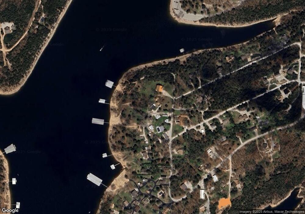
Map
Nearby Homes
- 241 Nine Center Ct
- 47 Misty Den Dr
- 610 Double O 9 Rd
- 11 Shore View Dr
- 474 Double O 9 Rd
- 455 Eagle Dr
- 303 Deep Water Cir
- 353 Deep Water Cir
- 273 Deep Water Cir
- 423 & 425 Eagle Dr
- 88 Deep Water Cir
- 425 Eagle Dr
- 154 Deep Water Cir
- 108 Deep Water Cir
- 152 Deep Water Cir
- 423 Eagle Dr
- 152 & 154 Deep Water Cir
- 134 Deep Water Cir
- 11 Tall Cedar Ln
- 122 Peaceful Valley Ln
- 1028 00-9
- 1208 00-9
- 1036 Double O Nine Rd
- 241 9 Center Ct
- 0 Security Unit 30319818
- 0 Security Unit 30326353
- 0 Security Unit 10920470
- 0 Security Unit 30346422
- 10 Holiday Hideaway Ct Unit 2
- 10 Holiday Hideaway Ct Unit 9
- 10 Holiday Hideaway Ct Unit 8
- 10 Holiday Hideaway Ct Unit 14
- 10 Holiday Hideaway Ct Unit 11
- 10 Holiday Hideaway Ct Unit 10
- 10 Holiday Hideaway Ct Unit 7
- 10 Holiday Hideaway Ct Unit 5,6
- 10 Holiday Hideaway Ct Unit 3,4
- 10 Holiday Hideaway Ct Unit 1,2
- 10 Holiday Hideaway Ct
- 335 Security Cir