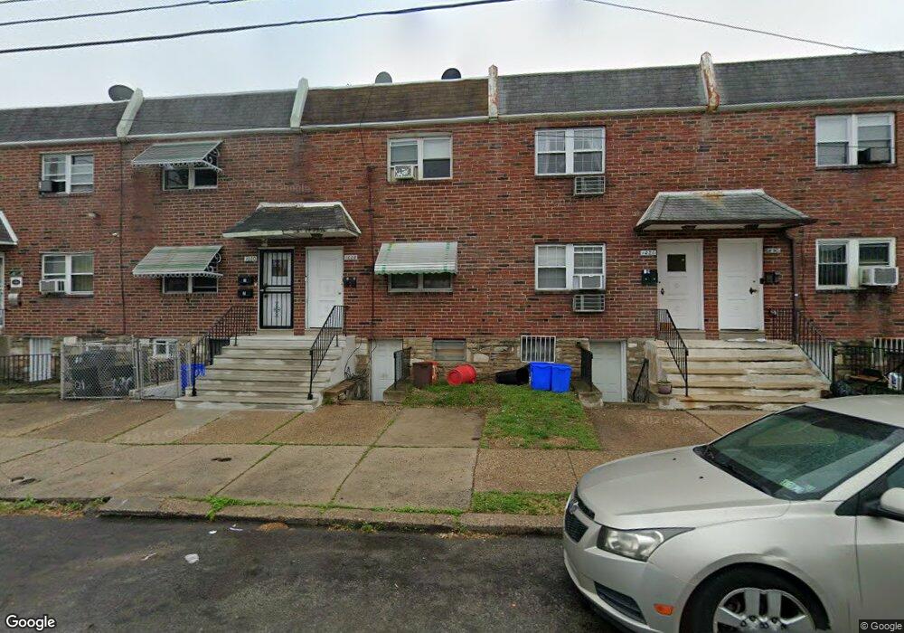
1028 E Sanger St Philadelphia, PA 19124
Frankford NeighborhoodEstimated Value: $231,000 - $232,000
--
Bed
2
Baths
1,536
Sq Ft
$151/Sq Ft
Est. Value
About This Home
This home is located at 1028 E Sanger St, Philadelphia, PA 19124 and is currently estimated at $231,500, approximately $150 per square foot. 1028 E Sanger St is a home located in Philadelphia County with nearby schools including Frankford High School, The Philadelphia Charter School for the Arts & Sciences, and St Martin Of Tours Catholic School.
Ownership History
Date
Name
Owned For
Owner Type
Purchase Details
Closed on
Mar 11, 2022
Sold by
Ruff Kenneth L
Bought by
Ruff Kimberly Danielle
Current Estimated Value
Home Financials for this Owner
Home Financials are based on the most recent Mortgage that was taken out on this home.
Original Mortgage
$112,500
Outstanding Balance
$90,154
Interest Rate
3.09%
Mortgage Type
New Conventional
Estimated Equity
$141,346
Purchase Details
Closed on
Jul 9, 2004
Sold by
Ruff Kenneth L and Ruff Cynthia
Bought by
Ruff Kenneth L
Home Financials for this Owner
Home Financials are based on the most recent Mortgage that was taken out on this home.
Original Mortgage
$59,000
Interest Rate
6.25%
Mortgage Type
Commercial
Purchase Details
Closed on
Mar 29, 2002
Sold by
Brown Donald and Brown Elisa
Bought by
Ruff Kenneth L and Ruff Cynthia
Home Financials for this Owner
Home Financials are based on the most recent Mortgage that was taken out on this home.
Original Mortgage
$55,575
Interest Rate
8.99%
Mortgage Type
Commercial
Create a Home Valuation Report for This Property
The Home Valuation Report is an in-depth analysis detailing your home's value as well as a comparison with similar homes in the area
Home Values in the Area
Average Home Value in this Area
Purchase History
| Date | Buyer | Sale Price | Title Company |
|---|---|---|---|
| Ruff Kimberly Danielle | $150,000 | None Listed On Document | |
| Ruff Kenneth L | -- | -- | |
| Ruff Kenneth L | $58,500 | Lawyers Title Insurance Corp |
Source: Public Records
Mortgage History
| Date | Status | Borrower | Loan Amount |
|---|---|---|---|
| Open | Ruff Kimberly Danielle | $112,500 | |
| Previous Owner | Ruff Kenneth L | $59,000 | |
| Previous Owner | Ruff Kenneth L | $55,575 |
Source: Public Records
Tax History Compared to Growth
Tax History
| Year | Tax Paid | Tax Assessment Tax Assessment Total Assessment is a certain percentage of the fair market value that is determined by local assessors to be the total taxable value of land and additions on the property. | Land | Improvement |
|---|---|---|---|---|
| 2026 | $2,935 | $260,700 | $52,140 | $208,560 |
| 2025 | $2,935 | $260,700 | $52,140 | $208,560 |
| 2024 | $2,935 | $260,700 | $52,140 | $208,560 |
| 2023 | $2,935 | $209,700 | $41,940 | $167,760 |
| 2022 | $1,674 | $209,700 | $41,940 | $167,760 |
| 2021 | $1,674 | $0 | $0 | $0 |
| 2020 | $1,674 | $0 | $0 | $0 |
| 2019 | $1,607 | $0 | $0 | $0 |
| 2018 | $1,512 | $0 | $0 | $0 |
| 2017 | $1,512 | $0 | $0 | $0 |
| 2016 | $1,512 | $0 | $0 | $0 |
| 2015 | $1,447 | $0 | $0 | $0 |
| 2014 | -- | $108,000 | $21,190 | $86,810 |
| 2012 | -- | $18,752 | $1,839 | $16,913 |
Source: Public Records
Map
Nearby Homes
- 1431 Rosalie St
- 1137 Bridge St
- 1209 E Sanger St
- 1048 Bridge St
- 5902 E Roosevelt Blvd
- 5661 Miriam Rd
- 5659 Miriam Rd
- 5347 Sylvester St
- 1244 E Sanger St
- 7753 E Roosevelt Blvd
- 996 Anchor St
- 7600 E Roosevelt Blvd Unit 206
- 7600 E Roosevelt Blvd Unit 212
- 7600 E Roosevelt Blvd Unit 909
- 7600 E Roosevelt Blvd Unit 705
- 7600 E Roosevelt Blvd Unit 701
- 7600 E Roosevelt Blvd Unit 806
- 7600 E Roosevelt Blvd Unit 904
- 7600 E Roosevelt Blvd Unit 604
- 6632 E Roosevelt Blvd
- 1026 E Sanger St
- 1030 E Sanger St
- 1024 E Sanger St
- 1032 E Sanger St
- 1022 E Sanger St
- 1034 E Sanger St
- 1020 E Sanger St
- 5350 Large St
- 5356 Large St
- 5354 Large St
- 5352 Large St
- 5358 Large St
- 5360 Large St
- 5348 Large St
- 5401 Rutland St
- 5346 Large St
- 5353 Oxford Ave
- 5355 Oxford Ave Unit B
- 5355 Oxford Ave Unit A
- 5355 Oxford Ave