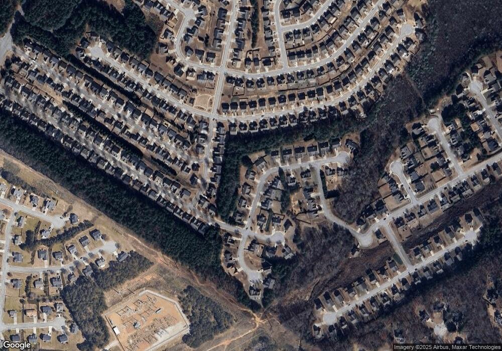
1028 High Tide Trail Unit 2 Loganville, GA 30052
Estimated Value: $366,000 - $390,655
3
Beds
2
Baths
2,238
Sq Ft
$168/Sq Ft
Est. Value
About This Home
This home is located at 1028 High Tide Trail Unit 2, Loganville, GA 30052 and is currently estimated at $375,914, approximately $167 per square foot. 1028 High Tide Trail Unit 2 is a home located in Gwinnett County with nearby schools including W.J. Cooper Elementary School, McConnell Middle School, and Archer High School.
Ownership History
Date
Name
Owned For
Owner Type
Purchase Details
Closed on
Sep 4, 2020
Sold by
Nunnally Bobby D
Bought by
Lee Abigail
Current Estimated Value
Home Financials for this Owner
Home Financials are based on the most recent Mortgage that was taken out on this home.
Original Mortgage
$224,105
Outstanding Balance
$198,510
Interest Rate
2.8%
Mortgage Type
New Conventional
Estimated Equity
$177,404
Purchase Details
Closed on
Oct 14, 2005
Sold by
Garen Homes Inc
Bought by
Nunnally Bobby D
Home Financials for this Owner
Home Financials are based on the most recent Mortgage that was taken out on this home.
Original Mortgage
$128,000
Interest Rate
5.66%
Mortgage Type
New Conventional
Create a Home Valuation Report for This Property
The Home Valuation Report is an in-depth analysis detailing your home's value as well as a comparison with similar homes in the area
Home Values in the Area
Average Home Value in this Area
Purchase History
| Date | Buyer | Sale Price | Title Company |
|---|---|---|---|
| Lee Abigail | $235,900 | -- | |
| Nunnally Bobby D | $174,900 | -- |
Source: Public Records
Mortgage History
| Date | Status | Borrower | Loan Amount |
|---|---|---|---|
| Open | Lee Abigail | $224,105 | |
| Previous Owner | Nunnally Bobby D | $128,000 |
Source: Public Records
Tax History Compared to Growth
Tax History
| Year | Tax Paid | Tax Assessment Tax Assessment Total Assessment is a certain percentage of the fair market value that is determined by local assessors to be the total taxable value of land and additions on the property. | Land | Improvement |
|---|---|---|---|---|
| 2024 | $4,480 | $142,800 | $30,000 | $112,800 |
| 2023 | $4,480 | $144,240 | $28,000 | $116,240 |
| 2022 | $4,056 | $124,040 | $26,000 | $98,040 |
| 2021 | $3,485 | $94,360 | $19,200 | $75,160 |
| 2020 | $3,191 | $90,680 | $19,200 | $71,480 |
| 2019 | $2,982 | $85,520 | $17,200 | $68,320 |
| 2018 | $2,746 | $74,640 | $16,800 | $57,840 |
| 2016 | $2,449 | $65,560 | $12,400 | $53,160 |
| 2015 | $2,211 | $58,120 | $12,400 | $45,720 |
| 2014 | $1,990 | $51,640 | $10,800 | $40,840 |
Source: Public Records
Map
Nearby Homes
- 4103 Potomac Walk Ct
- 4256 Franklin Mill Ln
- 3726 Pine Village Place
- 3834 Hawk Tail Dr
- 932 Creek Bottom Rd Unit 1
- 905 Shannon Rd SW
- 903 Creek Bottom Rd
- 619 Landing Way
- 5363 Forest Dr
- 5632 Highway 81
- 642 Shady Willow Ln
- 4885 Watson Mill Ct
- 5474 Forest Dr Unit 4
- 3345 Spring Place Ct
- 4031 Dean Grove Way
- 3971 Dean Grove Way
- 1370 Long Acre Dr
- 1018 High Tide Trail Unit 2
- 1038 High Tide Trail
- 731 Franklin Mill Trace
- 741 Franklin Mill Trace Unit 2
- 741 Franklin Mill Trace Unit 320
- 721 Franklin Mill Trace
- 1008 High Tide Trail
- 751 Franklin Mill Trace
- 1031 High Tide Trail
- 1048 High Tide Trail Unit 2
- 1011 High Tide Trail Unit 2E
- 1011 High Tide Trail
- 711 Franklin Mill Trace
- 761 Franklin Mill Trace
- 3913 Plymouth Rock Dr
- 0 High Tide Trail Unit 7428353
- 0 High Tide Trail Unit 7205261
- 0 High Tide Trail Unit 8891160
- 0 High Tide Trail Unit 8498408
- 0 High Tide Trail Unit 7313119
