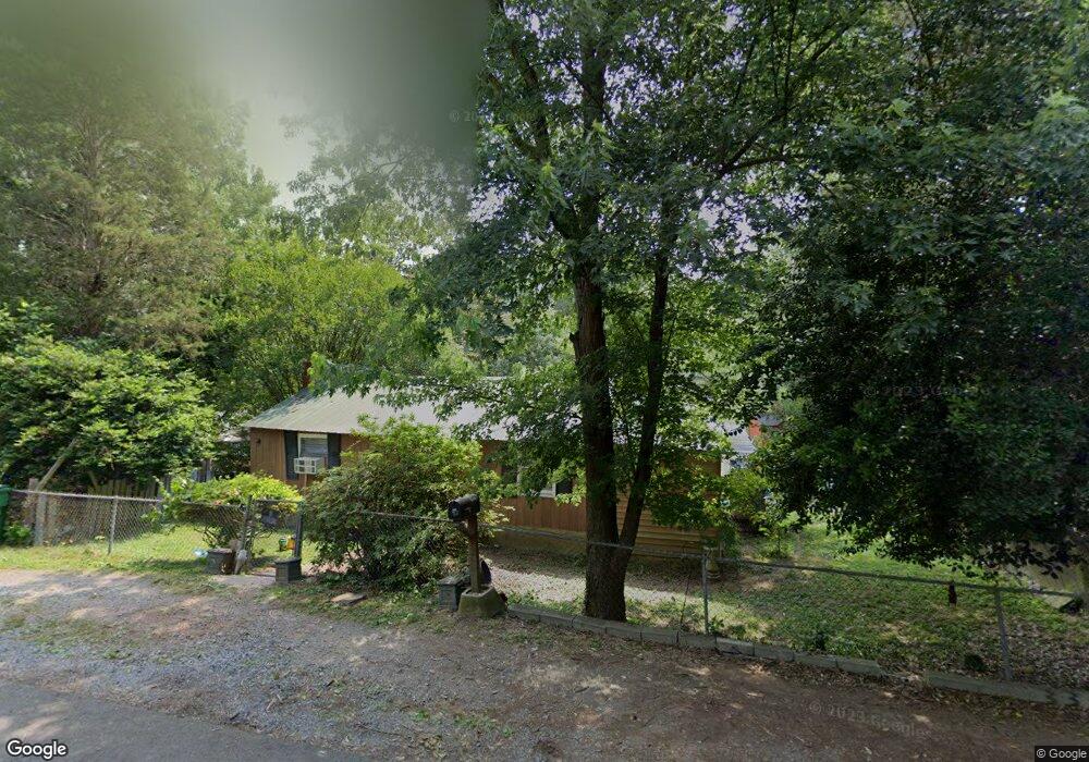
1028 Long St Albemarle, NC 28001
Estimated Value: $84,765 - $261,000
3
Beds
1
Bath
640
Sq Ft
$264/Sq Ft
Est. Value
About This Home
This home is located at 1028 Long St, Albemarle, NC 28001 and is currently estimated at $169,191, approximately $264 per square foot. 1028 Long St is a home located in Stanly County with nearby schools including Central Elementary School, Albemarle Middle School, and Albemarle High School.
Ownership History
Date
Name
Owned For
Owner Type
Purchase Details
Closed on
May 14, 2021
Sold by
Crawford Audre and Scarlett Charlene N
Bought by
Tuya Development Group Llc
Current Estimated Value
Purchase Details
Closed on
Jan 27, 2020
Sold by
Huneycutt Franklin Joe and Huneycutt Debra Walker
Bought by
Fisher Kesha Ward
Purchase Details
Closed on
Sep 17, 2019
Sold by
Diegis Inc
Bought by
Puiu Adriana M and Puiu Razvan H
Purchase Details
Closed on
Feb 27, 2019
Sold by
Lowder Investments Llc
Bought by
Diegis Inc
Create a Home Valuation Report for This Property
The Home Valuation Report is an in-depth analysis detailing your home's value as well as a comparison with similar homes in the area
Home Values in the Area
Average Home Value in this Area
Purchase History
| Date | Buyer | Sale Price | Title Company |
|---|---|---|---|
| Tuya Development Group Llc | -- | None Available | |
| Fisher Kesha Ward | -- | None Available | |
| Puiu Adriana M | -- | None Available | |
| Diegis Inc | $302,500 | None Available |
Source: Public Records
Tax History Compared to Growth
Tax History
| Year | Tax Paid | Tax Assessment Tax Assessment Total Assessment is a certain percentage of the fair market value that is determined by local assessors to be the total taxable value of land and additions on the property. | Land | Improvement |
|---|---|---|---|---|
| 2025 | $317 | $28,340 | $12,853 | $15,487 |
| 2024 | $255 | $20,884 | $6,543 | $14,341 |
| 2023 | $255 | $20,884 | $6,543 | $14,341 |
| 2022 | $255 | $20,884 | $6,543 | $14,341 |
| 2021 | $255 | $20,884 | $6,543 | $14,341 |
| 2020 | $238 | $18,381 | $5,608 | $12,773 |
| 2019 | $241 | $18,381 | $5,608 | $12,773 |
| 2018 | $241 | $18,381 | $5,608 | $12,773 |
| 2017 | $232 | $18,381 | $5,608 | $12,773 |
| 2016 | $223 | $17,704 | $5,375 | $12,329 |
| 2015 | $225 | $17,704 | $5,375 | $12,329 |
| 2014 | $272 | $17,704 | $5,375 | $12,329 |
Source: Public Records
Map
Nearby Homes
- 0 Pennington Rd Unit CAR4263058
- 710 Austin St Unit 124
- 1119 Poplar St
- 1316 Wiscassett St
- 1328 Columbus St
- 1220 Wood St
- 610 Watts St
- 715 Wood St
- 406 Church St
- 1339 Hill St
- 1600 Bluff St
- 1409 Long St Unit 1-9
- 1410 Long St Unit 18-19
- 1240 Hollywood Terrace
- 10.02 Ash St
- 1310 Ash St
- 410 Moose St
- 1610 Lowder St
- 408 Moose St
- 1724 Lowder St