Estimated Value: $122,374 - $188,000
3
Beds
1
Bath
956
Sq Ft
$152/Sq Ft
Est. Value
About This Home
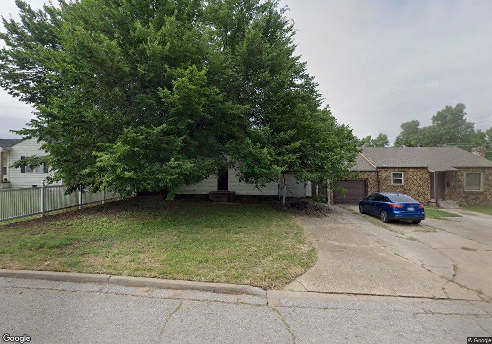
This home is located at 1028 Maple St, Yukon, OK 73099 and is currently estimated at $145,594, approximately $152 per square foot. 1028 Maple St is a home located in Canadian County with nearby schools including Central Elementary School, Independence Elementary School, and Yukon Middle School.
Ownership History
Date
Name
Owned For
Owner Type
Purchase Details
Closed on
Jun 27, 2001
Sold by
Griffin Mary Belle
Current Estimated Value
Purchase Details
Closed on
Jun 26, 2001
Sold by
Rozell Marjie Griffin
Purchase Details
Closed on
Mar 19, 2001
Sold by
Violette Barbara M
Purchase Details
Closed on
Mar 15, 2001
Sold by
Hambrook Diana Sue
Purchase Details
Closed on
Mar 10, 2001
Sold by
Griffin Timothy Alvin
Purchase Details
Closed on
Mar 8, 2001
Sold by
Hall Debra
Purchase Details
Closed on
Mar 7, 2001
Sold by
Hansens Bonita May
Purchase Details
Closed on
Mar 6, 2001
Sold by
Griffin Steven Delos
Purchase Details
Closed on
May 27, 1999
Sold by
Rozell Margie Marie
Purchase Details
Closed on
Apr 20, 1999
Sold by
Griffin Merle and Griffin Irene
Create a Home Valuation Report for This Property
The Home Valuation Report is an in-depth analysis detailing your home's value as well as a comparison with similar homes in the area
Home Values in the Area
Average Home Value in this Area
Purchase History
| Date | Buyer | Sale Price | Title Company |
|---|---|---|---|
| -- | $10,000 | -- | |
| -- | -- | -- | |
| -- | $1,000 | -- | |
| -- | $1,000 | -- | |
| -- | $1,000 | -- | |
| -- | $1,000 | -- | |
| -- | $1,000 | -- | |
| -- | $1,000 | -- | |
| -- | $5,000 | -- | |
| -- | -- | -- | |
| -- | -- | -- |
Source: Public Records
Tax History Compared to Growth
Tax History
| Year | Tax Paid | Tax Assessment Tax Assessment Total Assessment is a certain percentage of the fair market value that is determined by local assessors to be the total taxable value of land and additions on the property. | Land | Improvement |
|---|---|---|---|---|
| 2024 | $226 | $2,188 | $2,188 | -- |
| 2023 | $226 | $2,083 | $2,083 | $0 |
| 2022 | $216 | $1,984 | $1,320 | $664 |
| 2021 | $217 | $1,984 | $1,320 | $664 |
| 2020 | $214 | $1,984 | $1,320 | $664 |
| 2019 | $215 | $2,083 | $1,214 | $869 |
| 2018 | $234 | $2,159 | $1,214 | $945 |
| 2017 | $223 | $2,057 | $1,320 | $737 |
| 2016 | $403 | $3,713 | $1,320 | $2,393 |
| 2015 | -- | $4,932 | $1,320 | $3,612 |
| 2014 | -- | $4,697 | $1,320 | $3,377 |
Source: Public Records
Map
Nearby Homes
- 1016 Maple Ave
- 1101 W Main St
- 1004 Cedar Ave
- 417 Garth Brooks Blvd
- 9116 Anaum Ln
- 11325 SW 34th Terrace
- 600 S 8th St
- 624 Frisco Ridge Rd
- 601 S 8th St
- 705 Yukon Ave
- 621 Yukon Ave
- 709 Hamlet Ln
- 616 Kingston Dr
- 2117 Aminas Way
- 502 Walnut Ave
- 4601 Grassland Dr
- 3608 Northover Ridge Dr
- 3509 Sawtooth Ridge Dr
- 11817 Corie Nicole Ln
- 1805 Hobo St