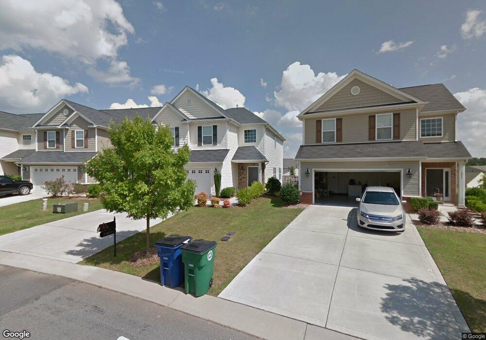
1028 Mountain Laurel Ct Matthews, NC 28104
Estimated Value: $410,000 - $432,000
3
Beds
3
Baths
2,145
Sq Ft
$196/Sq Ft
Est. Value
About This Home
This home is located at 1028 Mountain Laurel Ct, Matthews, NC 28104 and is currently estimated at $419,636, approximately $195 per square foot. 1028 Mountain Laurel Ct is a home located in Union County with nearby schools including Stallings Elementary School, Porter Ridge Middle School, and Porter Ridge High School.
Ownership History
Date
Name
Owned For
Owner Type
Purchase Details
Closed on
Nov 29, 2023
Sold by
Tah 2017-2 Borrower Llc
Bought by
Tricon Sfr 2023-2 Borrower Llc
Current Estimated Value
Purchase Details
Closed on
Dec 20, 2017
Sold by
2013B Property Owner Llc
Bought by
Tah 2017 2 Borrower Llc
Purchase Details
Closed on
Oct 30, 2014
Sold by
Golay Matthew R and Golay Connie Gitte
Bought by
2013B Property Owner Llc
Purchase Details
Closed on
Apr 3, 2009
Sold by
Lennar Carolinas Llc
Bought by
Golay Matthew R and Golay Connie Gitte
Home Financials for this Owner
Home Financials are based on the most recent Mortgage that was taken out on this home.
Original Mortgage
$163,970
Interest Rate
5.1%
Mortgage Type
FHA
Purchase Details
Closed on
May 27, 2008
Sold by
Crosland Fairhaven Llc
Bought by
Lennar Carolinas Llc
Create a Home Valuation Report for This Property
The Home Valuation Report is an in-depth analysis detailing your home's value as well as a comparison with similar homes in the area
Purchase History
| Date | Buyer | Sale Price | Title Company |
|---|---|---|---|
| Tricon Sfr 2023-2 Borrower Llc | -- | None Listed On Document | |
| Tah 2017 2 Borrower Llc | -- | None Available | |
| 2013B Property Owner Llc | $185,000 | None Available | |
| Golay Matthew R | $167,000 | None Available | |
| Lennar Carolinas Llc | $746,000 | None Available |
Source: Public Records
Mortgage History
| Date | Status | Borrower | Loan Amount |
|---|---|---|---|
| Previous Owner | Golay Matthew R | $163,970 |
Source: Public Records
Tax History
| Year | Tax Paid | Tax Assessment Tax Assessment Total Assessment is a certain percentage of the fair market value that is determined by local assessors to be the total taxable value of land and additions on the property. | Land | Improvement |
|---|---|---|---|---|
| 2025 | $2,852 | $416,000 | $0 | $0 |
| 2024 | $2,404 | $272,500 | $55,000 | $217,500 |
| 2023 | $2,306 | $272,500 | $55,000 | $217,500 |
| 2022 | $2,285 | $272,500 | $55,000 | $217,500 |
| 2021 | $2,284 | $272,500 | $55,000 | $217,500 |
| 2020 | $1,917 | $187,000 | $38,000 | $149,000 |
| 2019 | $1,909 | $187,000 | $38,000 | $149,000 |
| 2018 | $1,909 | $187,000 | $38,000 | $149,000 |
| 2017 | $2,003 | $187,000 | $38,000 | $149,000 |
| 2016 | $1,975 | $187,000 | $38,000 | $149,000 |
| 2015 | $1,995 | $187,000 | $38,000 | $149,000 |
| 2014 | $1,429 | $201,960 | $35,000 | $166,960 |
Source: Public Records
Map
Nearby Homes
- 5028 Haven Lodge Rd
- 1301 Mountain Laurel Ct
- 4324 Stallingswood Dr
- 4006 Scarlet Dr Unit 29
- 7803 Stinson Hartis Rd
- 5401 Stevens Mill Rd
- 1419 Vickery Dr
- 8208 Wynnview Rd
- 804 Dogwood Creek Ln
- 310 Cedarwood Ln
- 7038 Hyde Park Dr
- 506 Ballymote Ct
- 0000 White Oak Ln
- 3016 Dunwoody Dr
- 2001 Thurston Dr
- 300 Forest Park Rd
- 6013 Hyde Park Dr
- 2108 Stallings Rd
- 3501 Timber Mill Dr
- 2409 Autumn Olive Ln
- 1032 Mountain Laurel Ct
- 1032 Mountain Laurel Ct Unit 134
- 1024 Mountain Laurel Ct
- 1036 Mountain Laurel Ct
- 1020 Mountain Laurel Ct
- 2056 Blue Iris Dr
- 2052 Blue Iris Dr
- 1040 Mountain Laurel Ct
- 1040 Mountain Laurel Ct Unit 136
- 2060 Blue Iris Dr
- 2048 Blue Iris Dr
- 1044 Mountain Laurel Ct
- 1025 Mountain Laurel Ct
- 1016 Mountain Laurel Ct
- 2044 Blue Iris Dr
- 2064 Blue Iris Dr
- 1033 Mountain Laurel Ct
- 1015 Mountain Laurel Ct
- 1039 Mountain Laurel Ct
- 1037 Mountain Laurel Ct
Your Personal Tour Guide
Ask me questions while you tour the home.