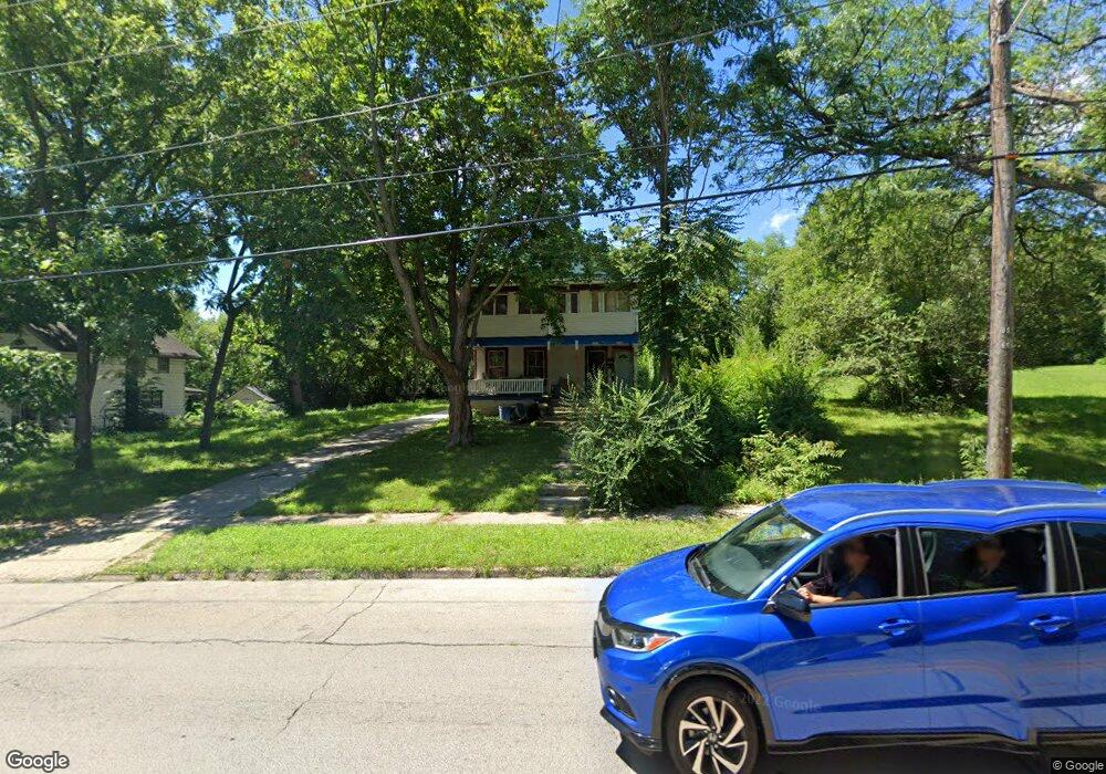
1028 N Rockton Ave Rockford, IL 61103
Northwest United NeighborhoodEstimated Value: $79,000 - $172,000
4
Beds
2
Baths
2,132
Sq Ft
$54/Sq Ft
Est. Value
About This Home
This home is located at 1028 N Rockton Ave, Rockford, IL 61103 and is currently estimated at $115,290, approximately $54 per square foot. 1028 N Rockton Ave is a home located in Winnebago County with nearby schools including Lewis Lemon Elementary School, Kennedy Middle School, and Auburn High School.
Ownership History
Date
Name
Owned For
Owner Type
Purchase Details
Closed on
Jun 17, 2020
Sold by
Olvera Ana Yoali
Bought by
Olvera Ricardo
Current Estimated Value
Purchase Details
Closed on
Nov 7, 2019
Sold by
Abram Vermaak
Bought by
Olvera Ana Yoali
Purchase Details
Closed on
Jun 28, 2019
Sold by
Job Brooks
Bought by
Vermaak Abram
Purchase Details
Closed on
Oct 10, 2014
Sold by
Federal Natl Mtg Assn Fnma
Bought by
Brooks Job
Create a Home Valuation Report for This Property
The Home Valuation Report is an in-depth analysis detailing your home's value as well as a comparison with similar homes in the area
Home Values in the Area
Average Home Value in this Area
Purchase History
| Date | Buyer | Sale Price | Title Company |
|---|---|---|---|
| Olvera Ricardo | -- | Salazar Joana | |
| Olvera Ana Yoali | $15,500 | Kelly Connor Nicholas Pc | |
| Vermaak Abram | $21,500 | None Listed On Document | |
| Brooks Job | $8,750 | Attorney Only |
Source: Public Records
Tax History Compared to Growth
Tax History
| Year | Tax Paid | Tax Assessment Tax Assessment Total Assessment is a certain percentage of the fair market value that is determined by local assessors to be the total taxable value of land and additions on the property. | Land | Improvement |
|---|---|---|---|---|
| 2024 | $966 | $16,191 | $883 | $15,308 |
| 2023 | $896 | $14,629 | $779 | $13,850 |
| 2022 | $701 | $11,661 | $696 | $10,965 |
| 2021 | $752 | $10,692 | $638 | $10,054 |
| 2020 | $789 | $10,108 | $603 | $9,505 |
| 2019 | $1,291 | $9,634 | $575 | $9,059 |
| 2018 | $1,379 | $9,629 | $542 | $9,087 |
| 2017 | $1,367 | $9,216 | $519 | $8,697 |
| 2016 | $1,366 | $9,043 | $509 | $8,534 |
| 2015 | $1,383 | $9,043 | $509 | $8,534 |
| 2014 | $1,501 | $9,784 | $637 | $9,147 |
Source: Public Records
Map
Nearby Homes
- 1021 N Rockton Ave
- 1030 N Winnebago St
- 1004 N Winnebago St
- 914 N Winnebago St
- 915 N Winnebago St Unit 17
- 1520 N Rockton Ave
- 912 King St
- 1010 School St
- 909 Ridge Ave Unit 911
- 812 Haskell Ave
- 618 Napoleon St
- 820 Hovey Ave
- 1918 Auburn St
- 821 Hovey Ave
- 928 N Court St
- 1027 Grant Ave
- 735 N Court St
- 2108 Burton St
- 1811 Yonge St
- 1902 Bruner St
- 1034 N Rockton Ave
- 1030 N Rockton Ave
- 1026 N Rockton Ave
- 1040 N Rockton Ave
- 1022 N Rockton Ave
- 1044 N Rockton Ave
- 1014 N Rockton Ave
- 1048 N Rockton Ave
- 1012 N Rockton Ave
- 1031 N Horsman St
- 1023 N Horsman St
- 1019 N Horsman St
- 1008 N Rockton Ave
- 1035 N Horsman St
- 918 Ashland Ave
- 1025 N Rockton Ave
- 1033 N Rockton Ave
- 1052 N Rockton Ave
- 1015 N Horsman St
- 916 Ashland Ave