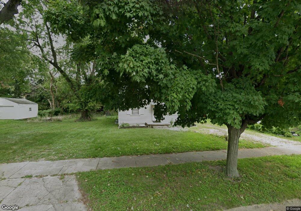
1028 N Wilder Ave Decatur, IL 62522
Garfield Park NeighborhoodEstimated Value: $39,000 - $55,000
2
Beds
1
Bath
1,456
Sq Ft
$32/Sq Ft
Est. Value
About This Home
This home is located at 1028 N Wilder Ave, Decatur, IL 62522 and is currently estimated at $46,786, approximately $32 per square foot. 1028 N Wilder Ave is a home located in Macon County with nearby schools including Stephen Decatur Middle School and Northwest Christian Campus.
Ownership History
Date
Name
Owned For
Owner Type
Purchase Details
Closed on
Dec 6, 2012
Sold by
Jones Cory L and Jones Cory S
Bought by
Jones Cory L
Current Estimated Value
Home Financials for this Owner
Home Financials are based on the most recent Mortgage that was taken out on this home.
Original Mortgage
$30,964
Outstanding Balance
$21,362
Interest Rate
3.28%
Mortgage Type
FHA
Estimated Equity
$25,424
Purchase Details
Closed on
Jun 1, 2001
Create a Home Valuation Report for This Property
The Home Valuation Report is an in-depth analysis detailing your home's value as well as a comparison with similar homes in the area
Home Values in the Area
Average Home Value in this Area
Purchase History
| Date | Buyer | Sale Price | Title Company |
|---|---|---|---|
| Jones Cory L | -- | Change Of Title Inc | |
| -- | $36,500 | -- |
Source: Public Records
Mortgage History
| Date | Status | Borrower | Loan Amount |
|---|---|---|---|
| Open | Jones Cory L | $30,964 |
Source: Public Records
Tax History Compared to Growth
Tax History
| Year | Tax Paid | Tax Assessment Tax Assessment Total Assessment is a certain percentage of the fair market value that is determined by local assessors to be the total taxable value of land and additions on the property. | Land | Improvement |
|---|---|---|---|---|
| 2024 | $974 | $10,063 | $436 | $9,627 |
| 2023 | $966 | $9,707 | $421 | $9,286 |
| 2022 | $910 | $8,896 | $389 | $8,507 |
| 2021 | $855 | $8,309 | $364 | $7,945 |
| 2020 | $843 | $7,924 | $348 | $7,576 |
| 2019 | $843 | $7,924 | $348 | $7,576 |
| 2018 | $913 | $8,686 | $241 | $8,445 |
| 2017 | $934 | $8,917 | $247 | $8,670 |
| 2016 | $952 | $9,008 | $250 | $8,758 |
| 2015 | $542 | $8,849 | $246 | $8,603 |
| 2014 | $509 | $10,151 | $1,357 | $8,794 |
| 2013 | $506 | $10,532 | $1,408 | $9,124 |
Source: Public Records
Map
Nearby Homes
- 917 N Wilder Ave
- 1451 W Marietta St
- 1319 W Waggoner St
- 1065 W Green St
- 1535 N Mcclellan Ave
- 1645 W Center St
- 1530 W Cushing St
- 837 W Grand Ave
- 1675 W Center St
- 1415 N Dennis Ave
- 933 W Division St
- 266 Cobb Ave
- 958 W William St
- 925 W Olive St
- 1706 W Division St
- 875 N Monroe St
- 1653 N Maple Ave
- 1524 N Summit Ave
- 1545 N Monroe St
- 1625 W Garfield Ave
- 1038 N Wilder Ave
- 1242 W Marietta St
- 1244 W Marietta St
- 1025 N Wilder Ave
- 1240 W Marietta St
- 1048 N Wilder Ave
- 1252 W Marietta St
- 1035 N Wilder Ave
- 1058 N Wilder Ave
- 1220 W Marietta St
- 1045 N Wilder Ave
- 1260 W Marietta St
- 1015 N University Ave
- 1204 W Marietta St
- 1035 N University Ave
- 1245 W Marietta St
- 1237 W Marietta St
- 1068 N Wilder Ave
- 1055 N Wilder Ave
- 1229 W Marietta St