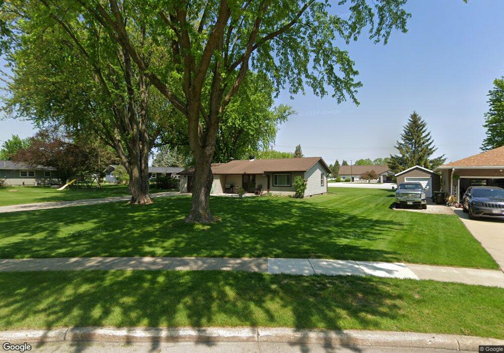
1028 Newton Ave Waupun, WI 53963
Estimated Value: $201,000 - $256,000
1
Bed
1
Bath
1,235
Sq Ft
$180/Sq Ft
Est. Value
About This Home
This home is located at 1028 Newton Ave, Waupun, WI 53963 and is currently estimated at $222,250, approximately $179 per square foot. 1028 Newton Ave is a home located in Fond du Lac County with nearby schools including Meadow View Primary School, Rock River Intermediate School, and Waupun Area Junior High School.
Ownership History
Date
Name
Owned For
Owner Type
Purchase Details
Closed on
Oct 27, 2011
Sold by
Navis Josh and Estate Of Laraine M Navis
Bought by
Kok Gregory J and Kok Bobbie Jo
Current Estimated Value
Home Financials for this Owner
Home Financials are based on the most recent Mortgage that was taken out on this home.
Original Mortgage
$12,600
Outstanding Balance
$8,592
Interest Rate
4.02%
Mortgage Type
Unknown
Estimated Equity
$213,658
Create a Home Valuation Report for This Property
The Home Valuation Report is an in-depth analysis detailing your home's value as well as a comparison with similar homes in the area
Home Values in the Area
Average Home Value in this Area
Purchase History
| Date | Buyer | Sale Price | Title Company |
|---|---|---|---|
| Kok Gregory J | $84,000 | None Available |
Source: Public Records
Mortgage History
| Date | Status | Borrower | Loan Amount |
|---|---|---|---|
| Open | Kok Gregory J | $12,600 | |
| Open | Kok Gregory J | $67,190 |
Source: Public Records
Tax History Compared to Growth
Tax History
| Year | Tax Paid | Tax Assessment Tax Assessment Total Assessment is a certain percentage of the fair market value that is determined by local assessors to be the total taxable value of land and additions on the property. | Land | Improvement |
|---|---|---|---|---|
| 2024 | $2,712 | $158,500 | $32,500 | $126,000 |
| 2023 | $2,558 | $158,500 | $32,500 | $126,000 |
| 2022 | $2,534 | $158,500 | $32,500 | $126,000 |
| 2021 | $2,266 | $112,300 | $30,000 | $82,300 |
| 2020 | $2,324 | $112,300 | $30,000 | $82,300 |
| 2019 | $2,252 | $112,300 | $30,000 | $82,300 |
| 2018 | $2,179 | $112,300 | $30,000 | $82,300 |
| 2017 | $2,095 | $99,800 | $27,600 | $72,200 |
| 2016 | $1,962 | $99,800 | $27,600 | $72,200 |
| 2015 | $2,111 | $99,800 | $27,600 | $72,200 |
| 2014 | $2,014 | $99,800 | $27,600 | $72,200 |
| 2013 | $2,081 | $99,800 | $27,600 | $72,200 |
Source: Public Records
Map
Nearby Homes
- 736 Fern St
- 181 Harmsen Ave
- 709 W Jefferson St
- 307 Elm Ave
- 524 W Jefferson St
- 17.92 Ac Pattee Dr
- 231 Hillyer St
- 25 Taylor St
- 227 S State St
- 258 S Drummond St
- 10 S Forest St
- 315 E Main St
- 231 Woodland Dr
- 201 S Madison St
- 434 Jackson St
- 306 Rounsville St
- 595 Carrington St
- N2789 E Rock River Rd
- 516 E Lincoln St
- 618 Carrington St
- 1024 Newton Ave
- 1025 Newton Ave
- 1020 Newton Ave
- 1021 Newton Ave
- 1038 Rock Ave
- 1024 Rock Ave
- 1017 Newton Ave
- 1016 Newton Ave
- 105 County Park Rd
- 1035 Rock Ave
- 1037 Rock Ave
- 1020 Rock Ave
- 1013 Newton Ave
- 1012 Newton Ave
- 1025 Rock Ave
- 1016 Rock Ave
- 1033 Rock Ave
- 1029 Rock Ave
- 1009 Newton Ave
- 21 County Park Rd