1028 Oakdale Dr Pottstown, PA 19464
Estimated Value: $384,000 - $463,000
3
Beds
2
Baths
1,858
Sq Ft
$225/Sq Ft
Est. Value
About This Home
This home is located at 1028 Oakdale Dr, Pottstown, PA 19464 and is currently estimated at $417,442, approximately $224 per square foot. 1028 Oakdale Dr is a home located in Montgomery County with nearby schools including Lower Pottsgrove Elementary School, Pottsgrove Middle School, and Pottsgrove Senior High School.
Ownership History
Date
Name
Owned For
Owner Type
Purchase Details
Closed on
Sep 7, 2024
Sold by
Dougherty Joseph F and Dougherty Antoinette
Bought by
Dougherty Joseph F and Dougherty Antoinette
Current Estimated Value
Purchase Details
Closed on
May 15, 2002
Sold by
Kosinski Zbigniew Eddie and Kosinski Marilyn Jeanne
Bought by
Dougherty Joseph F and Dougherty Antoinette
Create a Home Valuation Report for This Property
The Home Valuation Report is an in-depth analysis detailing your home's value as well as a comparison with similar homes in the area
Home Values in the Area
Average Home Value in this Area
Purchase History
| Date | Buyer | Sale Price | Title Company |
|---|---|---|---|
| Dougherty Joseph F | -- | None Listed On Document | |
| Dougherty Joseph F | -- | None Listed On Document | |
| Dougherty Joseph F | $140,000 | -- |
Source: Public Records
Tax History Compared to Growth
Tax History
| Year | Tax Paid | Tax Assessment Tax Assessment Total Assessment is a certain percentage of the fair market value that is determined by local assessors to be the total taxable value of land and additions on the property. | Land | Improvement |
|---|---|---|---|---|
| 2025 | $5,629 | $114,510 | $39,690 | $74,820 |
| 2024 | $5,629 | $114,510 | $39,690 | $74,820 |
| 2023 | $5,455 | $114,510 | $39,690 | $74,820 |
| 2022 | $5,372 | $114,510 | $39,690 | $74,820 |
| 2021 | $5,267 | $114,510 | $39,690 | $74,820 |
| 2020 | $5,218 | $114,510 | $39,690 | $74,820 |
| 2019 | $5,191 | $114,510 | $39,690 | $74,820 |
| 2018 | $5,191 | $114,510 | $39,690 | $74,820 |
| 2017 | $5,145 | $114,510 | $39,690 | $74,820 |
| 2016 | $5,101 | $114,510 | $39,690 | $74,820 |
| 2015 | $4,984 | $114,510 | $39,690 | $74,820 |
| 2014 | $4,984 | $114,510 | $39,690 | $74,820 |
Source: Public Records
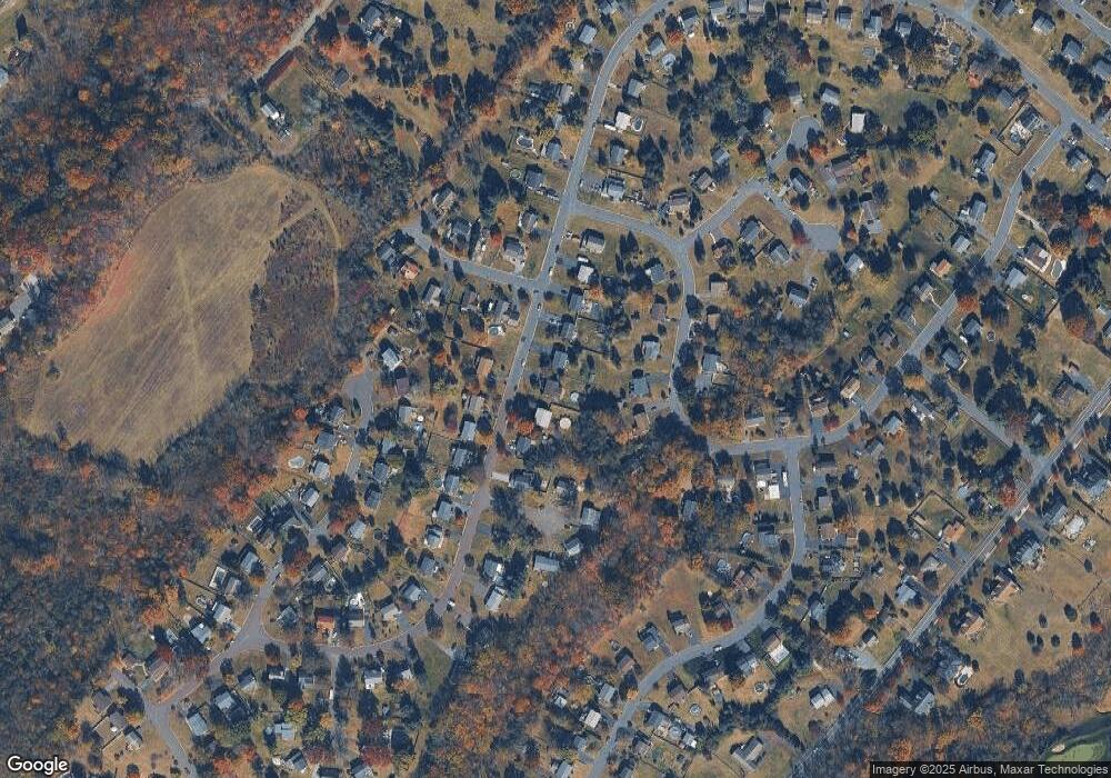
Map
Nearby Homes
- 1060 Oakdale Dr
- 847 Rivendell Ln
- 1180 Rupert Rd
- 1629 Rupert Rd
- 1687 Rupert Rd
- 2672 Crownview Rd
- 20 Bunker Way
- 2933 E High St
- 3000 E High St Unit 1
- 2126 Deer Ridge Dr
- 0 Industrial Pkwy Unit PAMC2142810
- 2580 Allison Dr Unit 3
- 217 S Park Rd
- 90 Kurtz Rd
- 3501 Walnut Ridge Estate
- 3603 Walnut Ridge Estate
- 2419 Sanatoga Rd
- 260 Hause Ave
- 2404 Walnut Ridge Dr
- 2403 Walnut Ridge Dr
- 1044 Oakdale Dr
- 1012 Oakdale Dr
- 994 Oakdale Dr
- 1216 Woodmere Dr
- 1025 Oakdale Dr
- 1224 Woodmere Dr
- 1224 Woodmere Dr Unit 2
- 2986 Rockwood Dr
- 1076 Oakdale Dr
- 999 Oakdale Dr
- 1204 Woodmere Dr
- 3007 Mirkwood Ct
- 987 Oakdale Dr
- 1234 Woodmere Dr
- 1190 Woodmere Dr
- 1092 Oakdale Dr
- 2972 Rockwood Dr
- 971 Oakdale Dr
- 3015 Mirkwood Ct
- 955 Oakdale Dr Unit 54