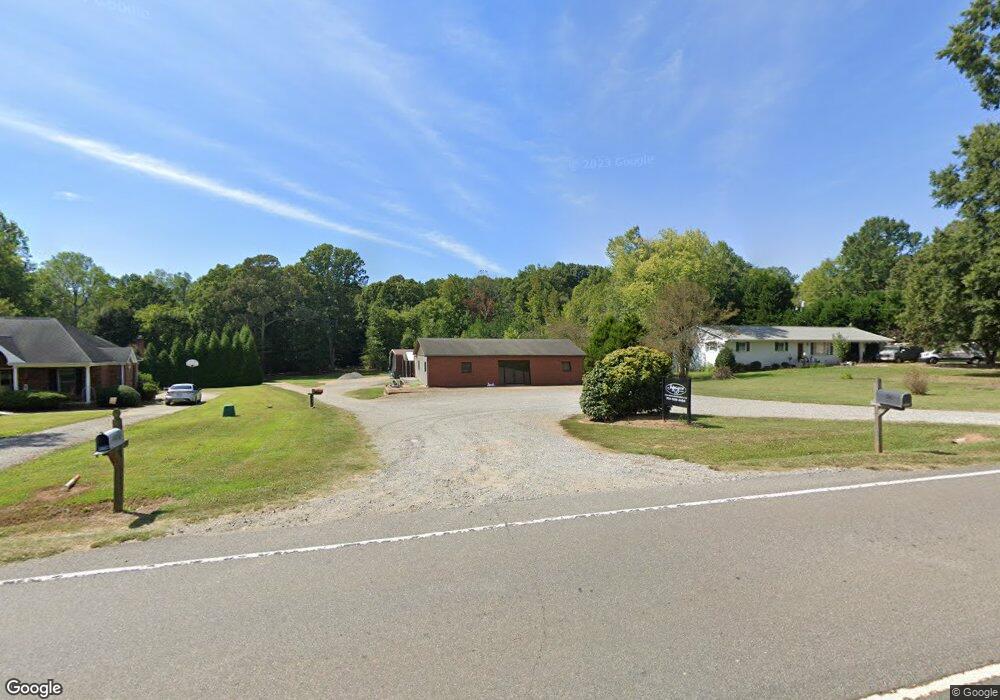
1028 Perth Rd Troutman, NC 28166
Estimated Value: $120,000 - $510,000
About This Home
This home is located at 1028 Perth Rd, Troutman, NC 28166 and is currently estimated at $351,381. 1028 Perth Rd is a home with nearby schools including Troutman Elementary School, Troutman Middle School, and South Iredell High School.
Ownership History
We collect this data history from publicly available records. To have your information removed, we recommend requesting removal directly through your county’s website.
Purchase Details
Home Financials for this Owner
Home Financials are based on the most recent Mortgage that was taken out on this home.Purchase Details
Home Values in the Area
Average Home Value in this Area
Purchase History
We collect this data history from publicly available records. To have your information removed, we recommend requesting removal directly through your county’s website.
| Date | Buyer | Sale Price | Title Company |
|---|---|---|---|
| -- | None Available | ||
| -- | -- |
Mortgage History
We collect this data history from publicly available records. To have your information removed, we recommend requesting removal directly through your county’s website.
| Date | Status | Borrower | Loan Amount |
|---|---|---|---|
| Open | $100,000 |
Tax History
We collect this data history from publicly available records. To have your information removed, we recommend requesting removal directly through your county’s website.
| Year | Tax Paid | Tax Assessment Tax Assessment Total Assessment is a certain percentage of the fair market value that is determined by local assessors to be the total taxable value of land and additions on the property. | Land | Improvement |
|---|---|---|---|---|
| 2025 | $632 | $105,340 | $89,250 | $16,090 |
| 2024 | $632 | $105,340 | $89,250 | $16,090 |
| 2023 | $632 | $105,340 | $89,250 | $16,090 |
| 2022 | $440 | $70,170 | $56,830 | $13,340 |
| 2021 | $440 | $70,170 | $56,830 | $13,340 |
| 2020 | $440 | $70,170 | $56,830 | $13,340 |
| 2019 | $423 | $70,170 | $56,830 | $13,340 |
| 2018 | $405 | $67,750 | $52,100 | $15,650 |
| 2017 | $405 | $67,750 | $52,100 | $15,650 |
| 2016 | $405 | $67,750 | $52,100 | $15,650 |
| 2015 | -- | $67,750 | $52,100 | $15,650 |
| 2014 | -- | $69,340 | $52,100 | $17,240 |
Map
- 169 Winding Creek Dr
- 141 Winding Creek Dr
- 184 Ashmore Cir
- 156 Ashmore Cir
- 133 Crestview Ln Unit 15
- 133 Crestview Ln
- 125 Crestview Ln Unit 14
- 125 Crestview Ln
- 147 Fernview Trail
- 179 Chaska Loop Unit 62
- 183 Chaska Loop Unit 61
- 241 Ashmore Cir
- 159 Fernview Trail
- 205 Streamwood Rd
- 202 Streamwood Rd
- 270 Spicewood Cir
- 115 Park Vista Dr
- 115 Outrigger Ln
- 129 Slip Shot Ln
- 299 Hamptons Cove Rd
- 1022 Perth Rd
- 1018 Perth Rd
- 1034 Perth Rd
- 1031 Perth Rd
- 1014 Perth Rd
- 1014 Perth Rd Unit 37
- 1013 Perth Rd
- 1038 Perth Rd
- 1030 Perth Rd
- 1044 Perth Rd
- 130 Santana Ln Unit 4
- 130 Santana Ln
- 1007 Perth Rd
- 128 Santana Ln
- 1000 Perth Rd
- 1048 Perth Rd
- 1025 Perth Rd
- 1006 Perth Rd
- 110 Perthwood Dr
- 124 Santana Ln
Ask me questions while you tour the home.