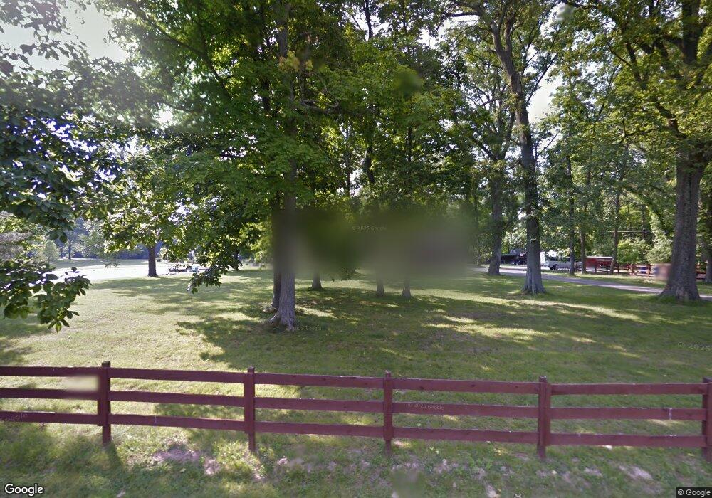
1028 Red Bird Rd Loveland, OH 45140
Outer Loveland NeighborhoodEstimated Value: $435,000 - $596,000
3
Beds
2
Baths
1,980
Sq Ft
$246/Sq Ft
Est. Value
About This Home
This home is located at 1028 Red Bird Rd, Loveland, OH 45140 and is currently estimated at $487,600, approximately $246 per square foot. 1028 Red Bird Rd is a home located in Clermont County with nearby schools including Loveland Primary School, Loveland Elementary School, and Loveland Intermediate School.
Ownership History
Date
Name
Owned For
Owner Type
Purchase Details
Closed on
Oct 30, 1998
Sold by
Siekman Daniel P
Bought by
O'Toole Sean M and O'Toole Diane M
Current Estimated Value
Home Financials for this Owner
Home Financials are based on the most recent Mortgage that was taken out on this home.
Original Mortgage
$118,400
Interest Rate
6.78%
Mortgage Type
New Conventional
Create a Home Valuation Report for This Property
The Home Valuation Report is an in-depth analysis detailing your home's value as well as a comparison with similar homes in the area
Home Values in the Area
Average Home Value in this Area
Purchase History
| Date | Buyer | Sale Price | Title Company |
|---|---|---|---|
| O'Toole Sean M | $148,000 | -- |
Source: Public Records
Mortgage History
| Date | Status | Borrower | Loan Amount |
|---|---|---|---|
| Closed | O'Toole Sean M | $118,400 |
Source: Public Records
Tax History Compared to Growth
Tax History
| Year | Tax Paid | Tax Assessment Tax Assessment Total Assessment is a certain percentage of the fair market value that is determined by local assessors to be the total taxable value of land and additions on the property. | Land | Improvement |
|---|---|---|---|---|
| 2024 | $5,517 | $110,430 | $34,410 | $76,020 |
| 2023 | $5,619 | $110,430 | $34,410 | $76,020 |
| 2022 | $4,898 | $80,720 | $24,890 | $55,830 |
| 2021 | $4,906 | $80,720 | $24,890 | $55,830 |
| 2020 | $4,921 | $80,720 | $24,890 | $55,830 |
| 2019 | $4,157 | $64,470 | $14,910 | $49,560 |
| 2018 | $4,180 | $64,470 | $14,910 | $49,560 |
| 2017 | $4,131 | $64,470 | $14,910 | $49,560 |
| 2016 | $4,060 | $58,600 | $13,550 | $45,050 |
| 2015 | $3,898 | $58,600 | $13,550 | $45,050 |
| 2014 | $3,898 | $58,600 | $13,550 | $45,050 |
| 2013 | $3,281 | $52,120 | $13,550 | $38,570 |
Source: Public Records
Map
Nearby Homes
- 962 Paul Vista Dr
- 6557 Oasis Dr
- 6469 Brittany Ln
- 802 Andrea Dr
- 6379 Derbyshire Ln
- 1209 Red Roan Dr
- 6881 Paxton Rd
- 6805 N Clarawill Dr
- 1122 Black Horse Run
- 6646 Gentlewind Ct
- 6690 Morgans Run
- 5937 Firm Stance Dr
- 6381 Waverly Hill Ln
- 1331 Harbor Cove
- 1383 Stone Pillars Ct Unit Lot10
- Vaquero Plan at Stone Pillars
- Lexington Plan at Stone Pillars
- 6647 Saddleback Way
- 1277 Sand Trap Ct
- 6650 Saddleback Way
- 1028 Red Bird Rd
- 1028A Red Bird Rd
- 1032 Red Bird Rd
- 1044 Red Bird Rd
- 1012 Bayhill Ln
- 1010 Bayhill Ln
- 1011 Bayhill Ln
- 1030 Red Bird Rd
- 1030 Red Bird Rd
- 1042 Red Bird Rd
- 1013 Bayhill Ln
- 6684 Sandy Shores Dr
- 6686 Sandy Shores Dr
- 1014 Bayhill Ln
- 6688 Sandy Shores Dr
- 6682 Sandy Shores Dr
- 1015 Bayhill Ln
- 1018 Bayhill Ln
- 990 Paxton Guinea Rd
- 6690 Sandy Shores Dr
